 1")
Carry Your Eos GNSS Receiver Hands-Free in a Backpack
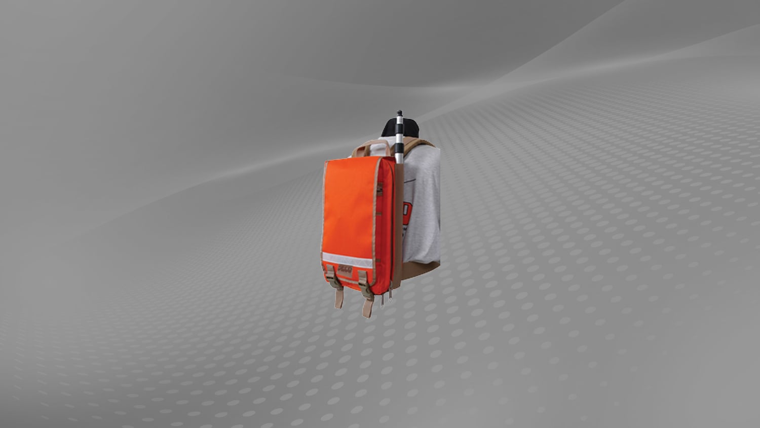
This GIS backpack allows you to carry your Arrow Series® or Skadi Series™ GNSS receiver without thinking about it. Simply insert your Eos GNSS receiver into the GIS backpack, mount your external antenna (included with Arrow Series® receivers and available as an optional purchase for Skadi Series™ receivers) on the range pole, and you are ready to go. The high-visibility surveying vest allows you to carry your GNSS receiver hands-free while performing critical data collection. This accessory is an optional component that may be added on to the purchase of most Eos GNSS receivers, particularly recommended for submeter field data collection.
Comes standard with: None
May be purchased as an optional extra with: Arrow Lite®, Arrow 100®, Arrow 100+™, Arrow 200®, Arrow Gold®, Arrow Gold+™, Skadi 100™, Skadi 200™, Skadi 300™, Skadi Gold™
GIS Backpack Plus Short Telescopic Range Pole: Additional Images
 Image")
Similar Accessories
 2")
 3")
 4")