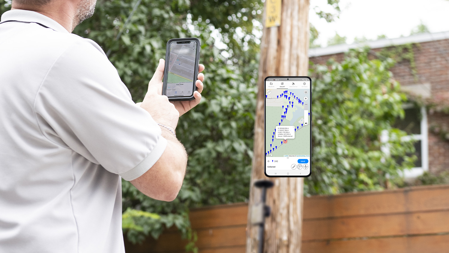
OnPOZ Collect is a leading data-collection app from Eos partner Effigis that seamlessly integrates with Eos GNSS receivers to collect features and attributes along with high-accuracy locations, elevations, and metadata as well as raw data for post-processing. OnPOZ Collect app is part of OnPOZ Cloud, a cloud-based platform for data customization, storing, sharing, and usage.
Supports Datum, Projections & Geoid
OnPOZ Collect supports all EPSG coordinate systems and Esri PRJ, GEOID for accurate orthometric heights, and Eos GNSS metadata by clicking the GNSS Status button.
Intelligent Forms
Customizable data-entry forms help ensure data integrity. Collect attributes using dropdowns, media, conditional fields, metadata, warnings that ensure correctness, and more.
Supports Layer Maps & Esri Shapefiles
Use your existing web maps, background maps, and Esri shapefiles.

Measure and Draw
OnPOZ Collect lets you choose your measurement units and provides accurate on-map measurements. In addition to GPS-ing features, features can also be drawn directly on the map.
Use Online or Offline
OnPOZ Collect also works in offline environments, so you don’t have to worry when you lose connection. Sync automatically recovers when online connection is available.
Sync Data
Field crews and office members can share data as it is recorded, so everyone stays up-to-date as the data collection progresses.
What We Like about this Partner App: OnPOZ Collect
Apple and Android Friendly
OnPOZ supports Eos GNSS receivers on popular iOS® and Android mobile devices.
Flexible Solution
OnPOZ is an incredibly flexible and customizable app being used across a variety of infrastructure and natural-resource industries.
Esri Aligned
Effigis is an Esri Bronze Partner and has been a geospatial information leader for over 30 years.
Enable Efficient, Accurate Field work Management
OnPOZ Collect is intuitive and easy to use. When combined with Eos GNSS receivers, the solution requires little user training to meet demanding professional mapping and accuracy needs. In addition, the app provides audible GPS alarms. This allows you to monitor the location data streaming from an Eos GNSS receiver and have audible alarms will notify your field worker if his or her accuracy falls outside a set threshold. Field crews and office members alike can share data as it is recorded, in real time, so everyone stays up-to-date as the data collection progresses.
Other Apps You Might Like