The distinction recognizes Eos for deploying high-accuracy workflows on Esri ArcGIS Collector and ArcGIS Survey123
MONTREAL, CANADA — Eos Positioning Systems, Inc.® (Eos), the world’s leading manufacturer of affordable high-accuracy GNSS receivers for any smartphone or tablet, announced today its recognition as Esri’s first ArcGIS® Online Specialty partner specializing in the manufacture of GNSS receivers.
Through the ArcGIS Online Specialty, Esri recognizes partners that have ArcGIS Online expertise, and offer solutions, apps, content, and services to help users maximize their use of the ArcGIS platform.
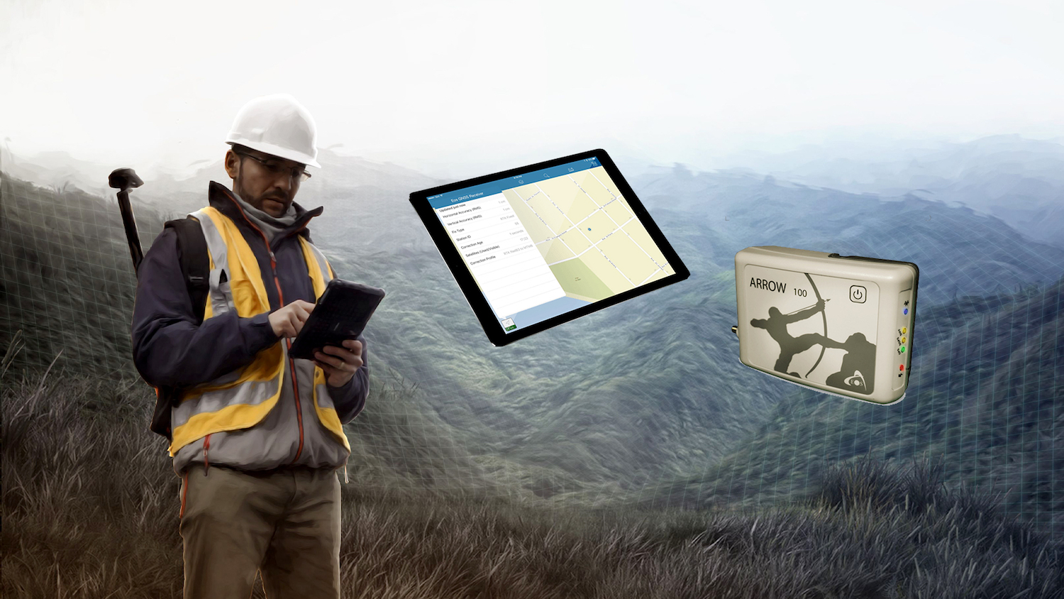
Eos manufactures the world’s leading device-agnostic, high-accuracy GNSS receivers, known as the Arrow Series®. Arrow receivers are fully compatible with Esri® ArcGIS Collector and ArcGIS Survey123. They work on any device, to allow GIS field crews to use the iOS®, Android, or Windows devices they already own.

“Collector and Arrow are almost self-configuring. At most, it was a couple hours to feel that the technology works so well.”
— Kurt Towler, GIS Supervisor, Sulphur Springs Valley Electric Cooperative
By pairing Eos and Esri technologies, field crews can collect submeter to centimeter locations in just seconds.
“Eos is extremely excited to be working so closely with Esri to bring high-accuracy, mobile GIS workflows to organizations, big and small,” Eos President and CTO Jean-Yves Lauture said. “Enabling this kind of accuracy within Esri data collection apps on any device is a game-changer. It allows organizations, with even the smallest budget, start capturing survey-grade locations.”
“Enabling this kind of accuracy within Esri data collection apps on any device is a game-changer. It allows organizations, with even the smallest budget, start capturing survey-grade locations.”
— Jean-Yves Lauture, CTO and President, Eos Positioning Systems
Utilities, government agencies, pipeline operators, land-management specialists, related consultants, and others have already adopted the technology.
“It was remarkable,” said Kurt Towler, GIS Supervisor at Sulphur Springs Valley Electric Cooperative. “Truly remarkable. Collector and Arrow are almost self-configuring.
“At most, it was a couple hours to feel that the technology works so well,” Towler said. “It cut our spin-up time dramatically.”
The recognition as an ArcGIS Online Specialty partner comes as the GIS and mapping sectors demand increasingly higher accuracy of asset records. With the proliferation of smart devices and web GIS, submeter location data has become a must, rather than a want, for many industries.
Headquartered in Montreal, Eos has been getting positive feedback from Esri Canada on the user adoption.
“Eos demonstrates the value achievable when a partner’s technology gets paired with the Esri ArcGIS platform,” said Dan Ruscheinski, Director of Sales Operations and Business at Esri Canada. “The benefits for clients just continue to expand.”
“The benefits for clients just continue to expand.”
— Dan Ruscheinski, Director of Sales Operations & Business, Esri Canada
That kind of positive feedback and market interest has fueled excitement in the high-fidelity, high-resolution, and high-accuracy location markets.
“By knowing every asset’s location down to the meter or centimeter in real-time, GIS and mapping professionals are better able to comply with regulations, minimize intervention time, cut customer costs, serve information across their organizations with higher confidence, and run an overall smarter, more efficient operation,” Lauture said.
“We are excited to help our mutual customers benefit from the cost-savings and efficiency gains that come from knowing where every asset is located.”
About Esri
Esri, the global market leader in geographic information system (GIS) software, offers the most powerful mapping and spatial analytics technology available. Since 1969, Esri has helped customers unlock the full potential of data to improve operational and business results. Today, Esri software is deployed in more than 350,000 organizations including the world’s largest cities, most national governments, 75 percent of Fortune 500 companies, and more than 7,000 colleges and universities. Esri engineers the most advanced solutions for digital transformation, the Internet of Things (IoT), and location analytics to inform the most authoritative maps in the world. Visit us at esri.com.
Esri, ArcGIS, and esri.com are trademarks, service marks, or registered marks of Esri in the United States, the European Community, or certain other jurisdictions. Other companies and products or services mentioned herein may be trademarks, service marks, or registered marks of their respective mark owners.

About Eos Positioning Systems, Inc.
Eos Positioning Systems®, Inc. (Eos) designs and manufactures the world’s premier, high-accuracy GPS / GNSS receivers for the Bring Your Own Device (BYOD) market. The Arrow Series® receivers feed submeter, subfoot and centimeter RTK GPS / GNSS location data to any iOS, Android, and Windows device. Free Eos software utilities, such as Eos Tools Pro, were designed to provide users with the smoothest experience of integrating high-accuracy location data and metadata into their mobile workflows.


