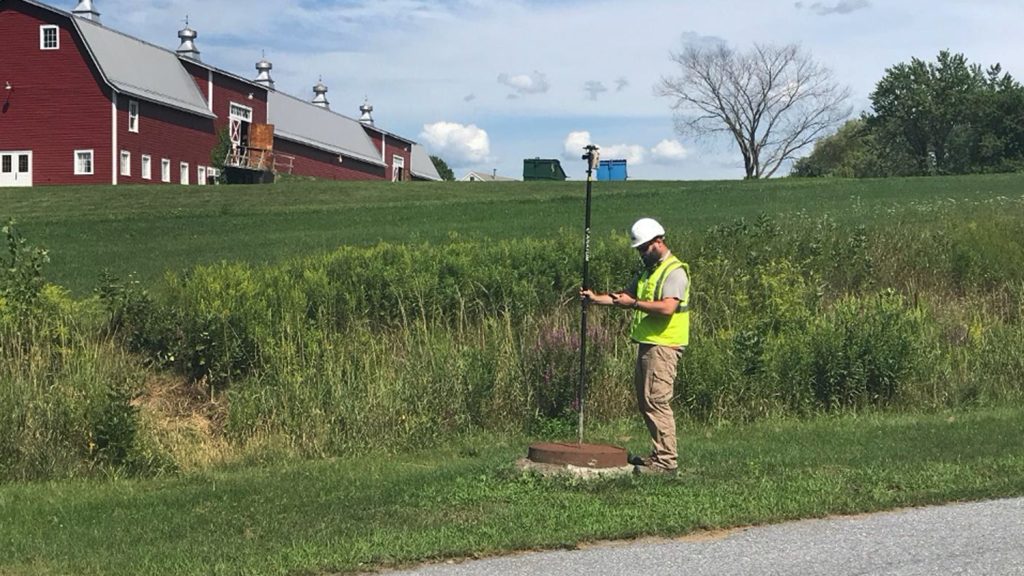
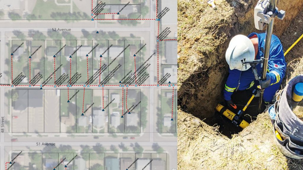
Erin Mara enjoys a challenge — and mapping and managing over 500 miles of pipeline across three states is no small feat. As GIS Specialist at CountryMark, an oil production, refining, and marketing company headquartered in Indiana, Erin optimizes data collection for her company. By implementing a mobile data collection workflow consisting of Eos Arrow 100® GNSS receivers and Esri’s ArcGIS Survey123, she has saved her field crews hundreds of work hours. Now, CountryMark uses the data to quickly respond to requests and improve pipeline maintenance across the Midwestern states it serves.
Continue reading to learn how Erin strives for continual improvement with high-accuracy GNSS …
1. Why are you passionate about your job?
I’ve always loved working with spatial data and using it to answer complex questions. CountryMark gives me free rein to investigate advancements and new technologies to determine how we could apply the latest solutions to different aspects of our business. After focusing on streamlining field workflows, I’ve found that the possibilities are nearly endless! So far, at CountryMark we’ve reclaimed hundreds of work hours for our field crews, which allows them to continually respond to evolving requests and requirements while producing high-quality data. It’s rewarding to know that the ideas I’ve suggested are making a real and positive impact for my coworkers, and the challenge to continue doing so keeps my work exciting.
2. How did you first find out about Eos Positioning Systems’ GNSS products?
I first encountered an Eos display at a conference in the spring of 2019. We were in the process of building an ArcGIS Enterprise deployment at the time, and I knew we’d need to collect accurate location data in the field. I evaluated several GNSS receivers after returning home, and I determined that the best option for our needs was the Arrow 100® GNSS receiver from Eos.
3. What do you use Arrow Series® GNSS receivers for?
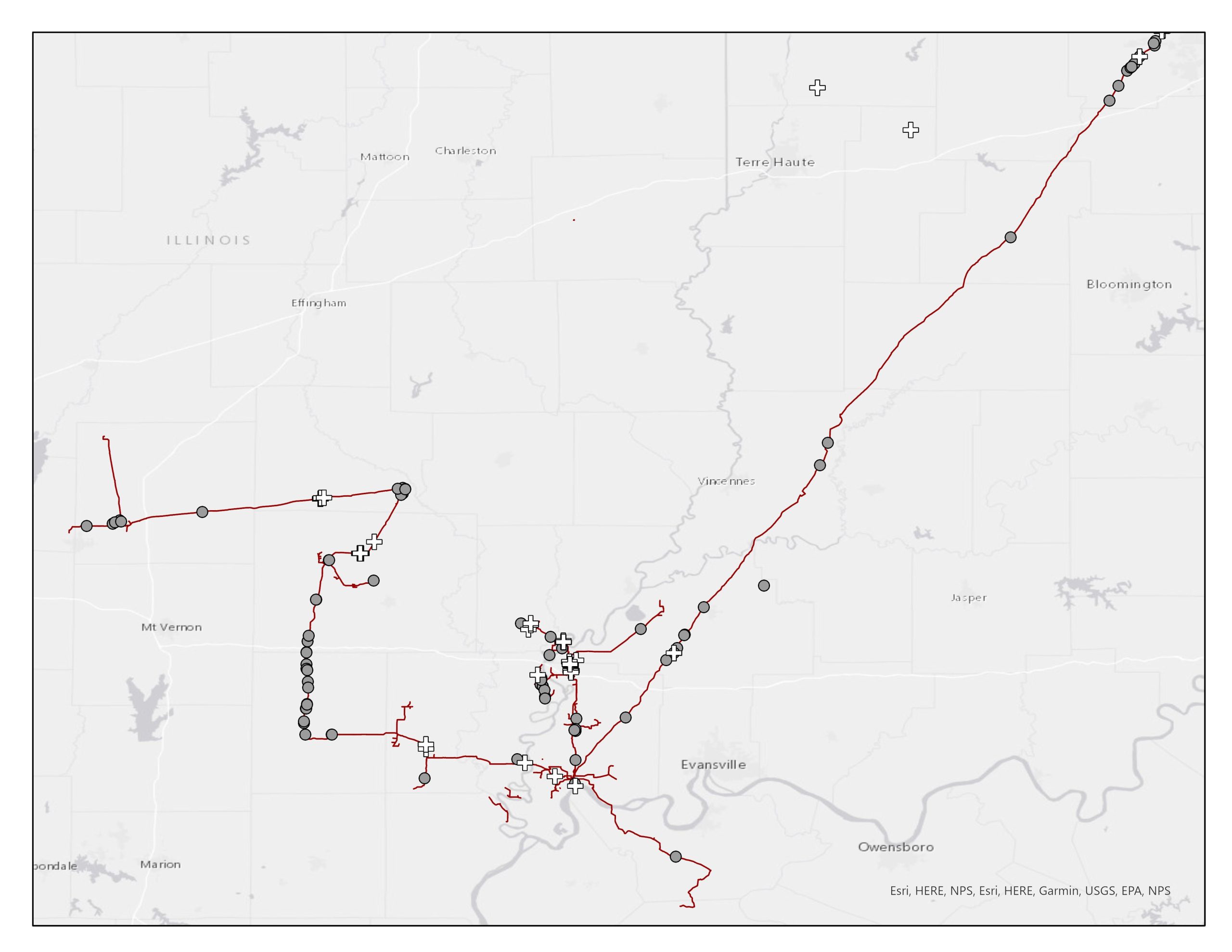
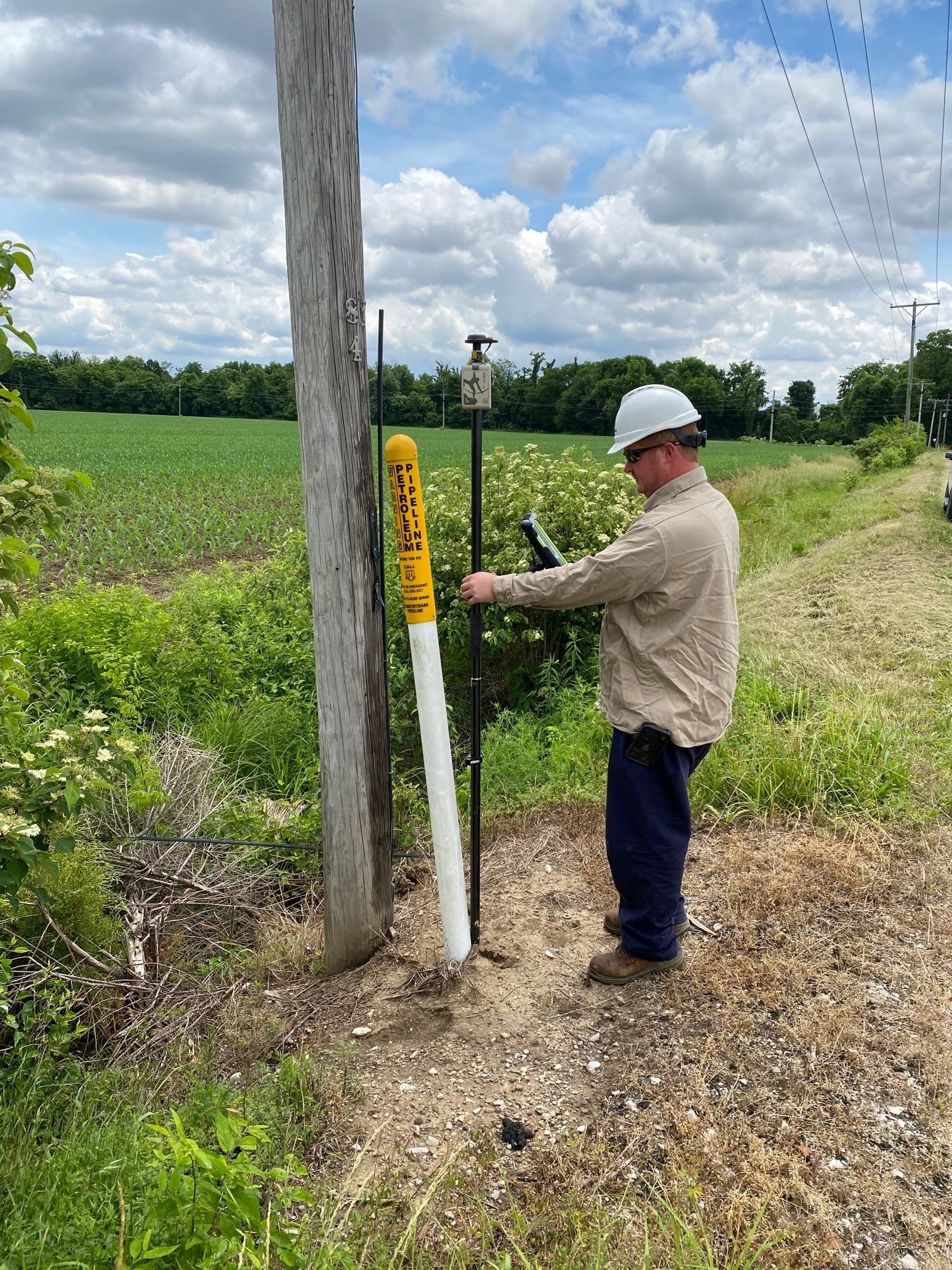
Our maintenance, corrosion, and right-of-way field technicians each carry an Arrow 100® receiver with them in their daily tasks. We have a total of 11 in the field, with two spares in my office. Because Arrow receivers pair easily with our iPad® and iPhone® mobile devices, they are ideal for on-the-go data collection. Our teams use them alongside ArcGIS Survey123 to accurately find and mark repairs, collect location data for inspections, mark foreign line crossings (these are pipes or utilities owned by other companies that cross above or below buried CountryMark pipes), and respond to 811 locate requests.
4. Do you have a favorite experience or memory from your projects with Eos Arrow?
My favorite experience is actually how infrequently my co-workers contact me for help with their receivers! I know their receivers get frequent use, so the fact that I rarely hear about them means they’re continuing to perform as expected.
5. Do you have a favorite feature of Arrow GNSS receivers?
My favorite feature of the Arrow 100® receivers is how reliable they are. Our field technicians face all kinds of weather and work conditions, and many of them are rarely in the office. If the receivers were delicate or required frequent maintenance, they would be more likely to hinder field workflows rather than help. Durability wasn’t one of the factors I considered when choosing a receiver, so it’s been an unexpected benefit, and one I’ve become very grateful for over the years that they’ve been in use.

