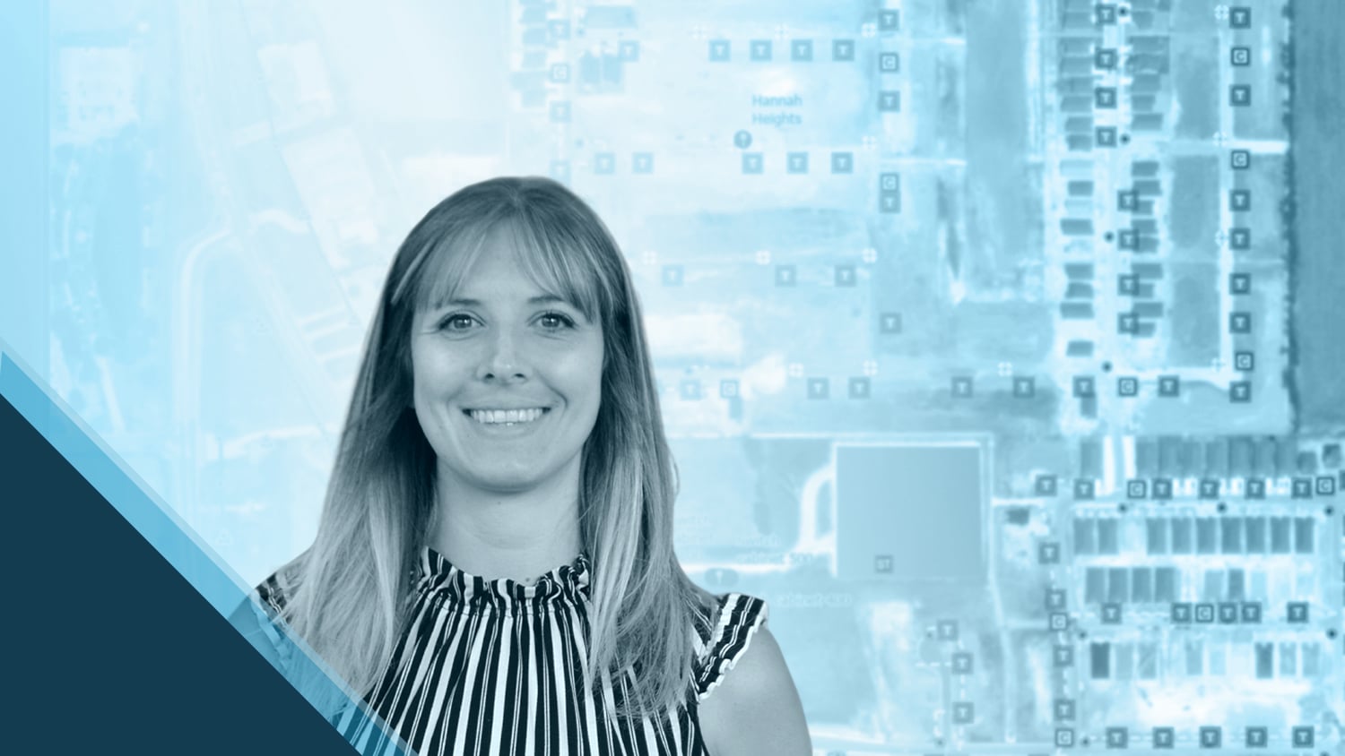
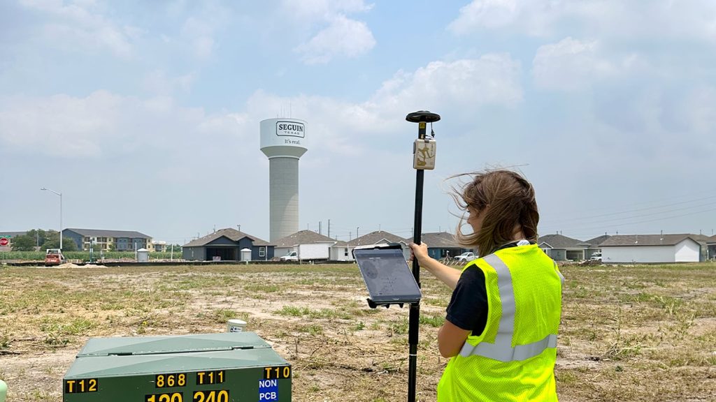
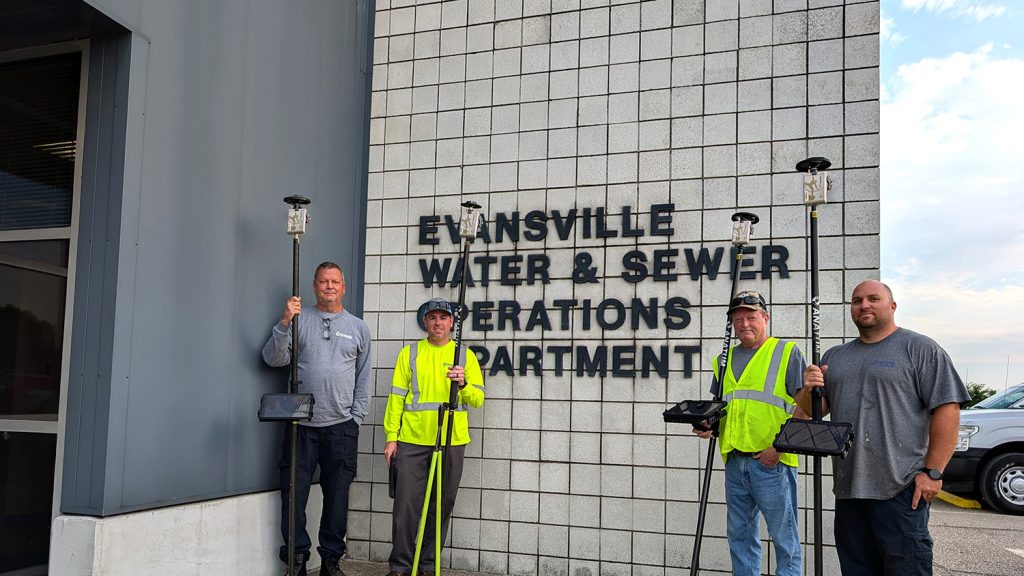
Felecia Helms is passionate about turning data into powerful insights, which drive smarter decisions for her community. As a City of Seguin Utility Data Analyst in Texas, Felecia plays a key role in ensuring the city’s utility data is accurate and reliable. Her current focus is on enhancing real-time citizen communications and improving infrastructure planning through an outage management system (OMS) implementation. To ensure infrastructure locations within the OMS are both accurate and updated, Felecia and her team use Arrow Gold® GNSS receivers and ArcGIS® Field Maps in the field for real-time mapping. By accurately mapping assets, crews can locate them faster in the field, allowing Seguin to respond to maintenance requests and issues more quickly.
Read how Felecia’s work is helping her foster better decision-making at Seguin.
1. Why are you passionate about your job?
I have always been referred to as a “data hound,” and I truly enjoy the processes of crunching numbers, identifying anomalies, and helping businesses maintain accurate datasets. Beyond that, I’m passionate about improving quality control, enhancing business metrics, and identifying areas where companies can improve their operations. In my role as a Utility Data Analyst, I work with a variety of systems including Esri’s ArcGIS, advanced metering infrastructure (AMI), supervisory control and data acquisition (SCADA), and Aclara’s STAR® and TWACS® PLC meter systems for water and electric networks, respectively. These constantly challenge me and help me grow.
Right now, I’m particularly excited to be part of implementing an OMS for the City of Seguin. This system will provide citizens with real-time updates on outages and maintenance, thereby enabling them to report issues faster. It’s rewarding to know that this will not only improve communication for the public, but also help the city track recurring issues and make data-driven decisions about infrastructure. In just a year and a half, I’ve learned so much, and it’s been incredibly fulfilling to contribute to such impactful projects.
2. How did you first find out about Eos Positioning Systems’ GNSS products?
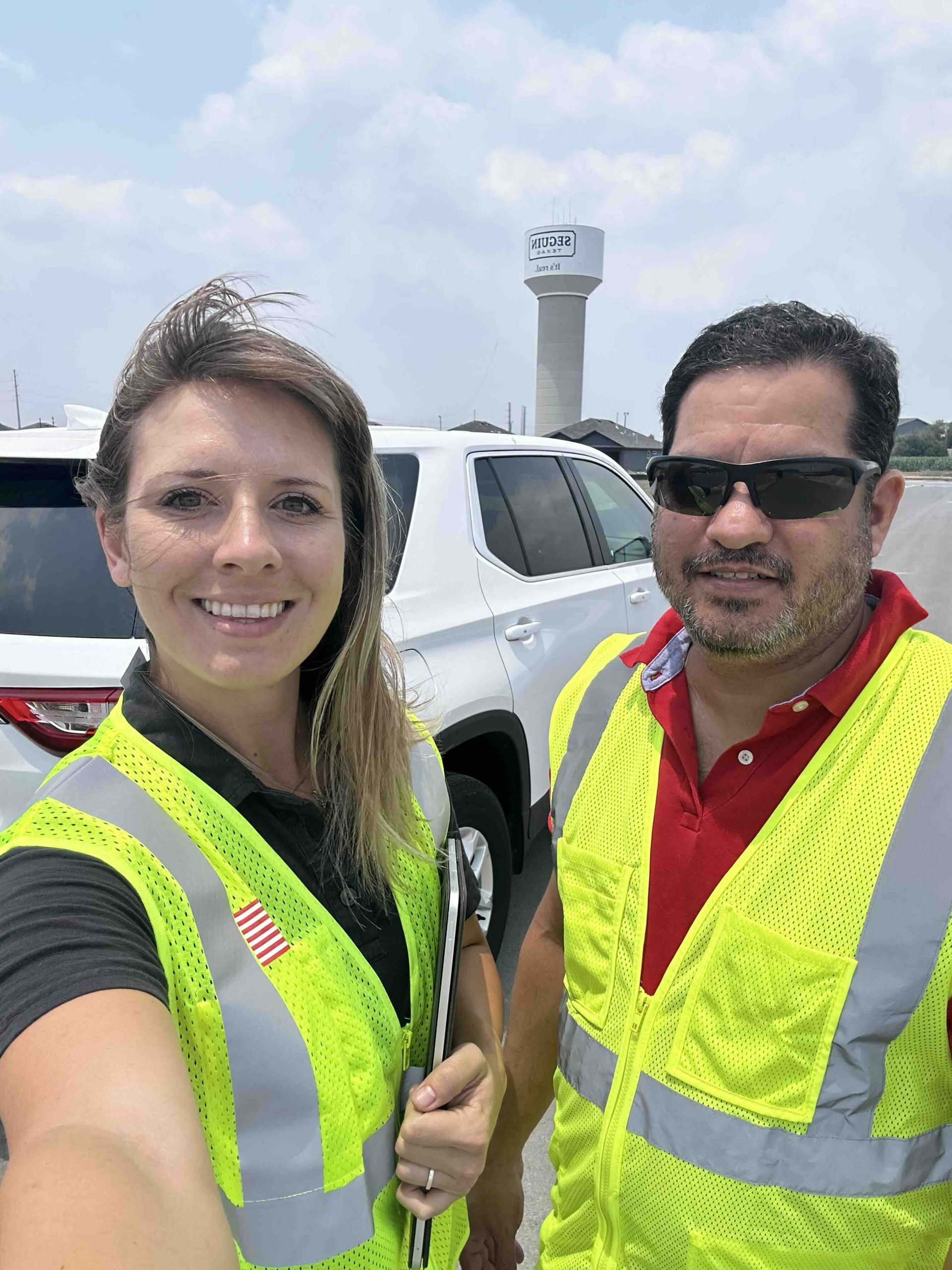
I first became familiar with Eos GNSS products when I joined the City of Seguin, where we were already using the Arrow Gold for our system. The ease of use and reliability of the Arrow Gold have been impressive, with very few issues since implementation. Before starting here, I hadn’t heard of GNSS or Eos, but learning about how it functions and how it can help organizations adapt to the ever-evolving landscape of utility management has been incredibly exciting. It’s clear that GNSS technology is a powerful tool for enhancing precision and efficiency in our operations.
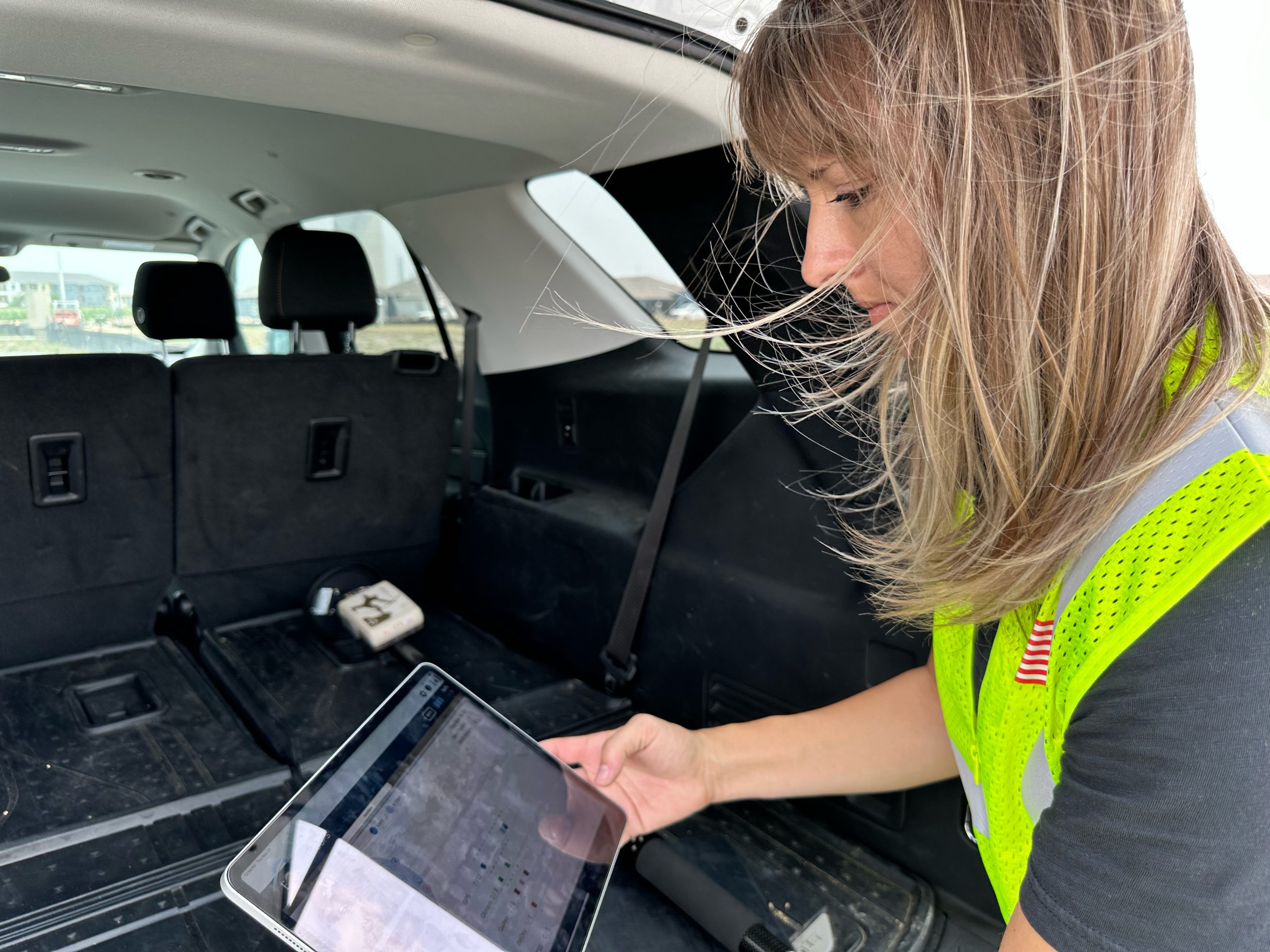
3. What do you use Eos GNSS products for?
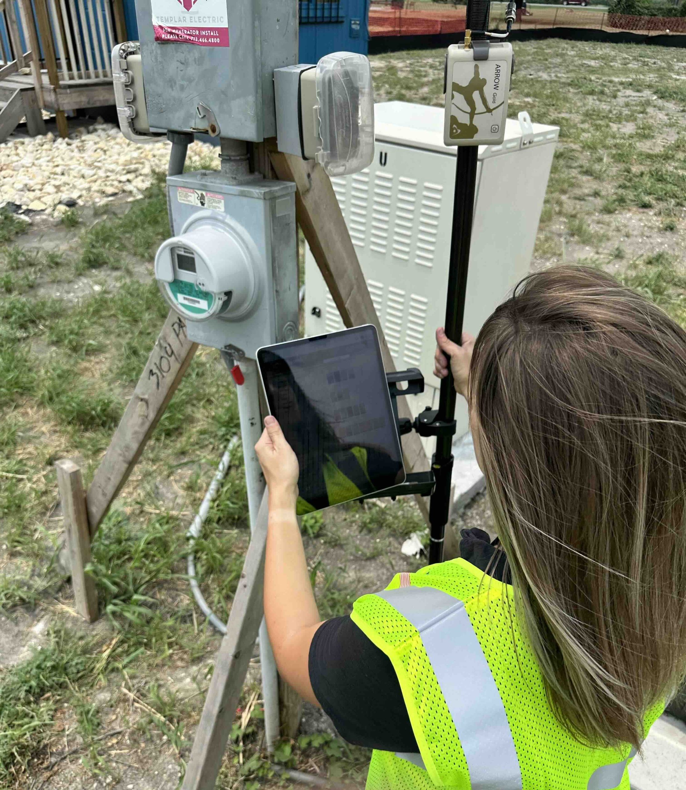
We use Eos GNSS receivers as a critical part of our staking program, where accurate geospatial data collection is key. With the Arrow Gold, we can collect precise location data for utility infrastructure, such as power lines, transformers, and water meters, directly in the field. These data points are then transferred into our Esri mapping system, allowing us to create highly accurate maps of our utility assets.
The ability to capture this data with submeter to centimeter-level accuracy ensures that our GIS system reflects the most up-to-date and reliable information. This is particularly crucial as we implement our OMS and plan future infrastructure projects. The precision of Eos GNSS receivers helps us correctly map out and stake new assets, streamline maintenance planning, and improve overall utility management.
4. Do you have a favorite experience or memory from your projects with Eos hardware?
While I don’t have one singular standout memory, a truly fulfilling part of using Eos technology has been the opportunity to go out into the field myself and collect the data. Using the Arrow Gold to gather precise geospatial data for utility infrastructure — whether it’s staking new assets or ensuring that our existing infrastructure is accurately mapped — has been an incredibly hands-on and rewarding experience.
Without the precision and reliability of the Eos GNSS receivers, it would be a much more challenging task to maintain such an up-to-date and accurate dataset.
Seeing the impact of this high-accuracy data as it gets integrated into our Esri GIS system is always satisfying. Without the precision and reliability of the Eos GNSS receivers, it would be a much more challenging task to maintain such an up-to-date and accurate dataset. Being able to actively contribute to these projects has made my work incredibly meaningful, knowing that the data we collect helps shape decisions about infrastructure and city planning.
5. Do you have a favorite feature of Eos GNSS receivers?
What really stands out to me with the Eos GNSS receivers is the high-accuracy positioning. The ability to collect data with submeter to centimeter-level precision makes a huge difference when it comes to utility mapping and asset management. It’s not just about getting data — it’s about getting the right data.
I also really appreciate how seamlessly the receivers integrate with mobile devices. Being able to pair them with tablets or smartphones via Bluetooth® means I don’t need extra equipment or fussing around with cables — it’s all streamlined, and that efficiency really helps in the field.
The real-time corrections feature is another big win. It boosts accuracy on the spot, saving us time and reducing the need for follow-up corrections. All in all, the combination of these features makes Eos GNSS receivers indispensable for our work. They simplify the process and allow us to focus on what matters — getting reliable, accurate data.
From day one, the Eos team has been incredibly supportive, helping me understand the technology, how to operate it, and providing clear guidance whenever I’ve had questions.
6. Is there anything we didn’t ask you that you’d like to share with us?
I’ve been working with Eos since I started with the city, and I can honestly say their customer service has been outstanding. From day one, the Eos team has been incredibly supportive, helping me understand the technology, how to operate it, and providing clear guidance whenever I’ve had questions. They’ve always been quick to respond and eager to help, which makes a huge difference, especially when you’re relying on technology in the field.

