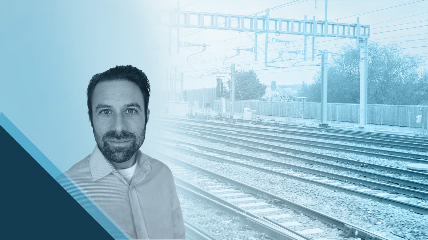
Gideon Simons is transporting railway clients toward a new world of confidence through his innovative approach to mobile mapping workflows.
As Associate Director of GIS and Geospatial at Arcadis, a leading global design and consultancy firm, Gideon regularly oversees large teams working on complex projects. In his role, Gideon is responsible for digital solutions, project delivery, client development, and more. Eos first met Gideon after learning about Arcadis’ work with Network Rail, which manages the rail infrastructure of England, Scotland, and Wales. Arcadis was tasked with capturing data of up to 50,000 electrical assets along 400 miles of rails in eastern England.
Given the immensity of the task, Gideon quickly realized the need for a digital, real-time mapping solution. He deployed a mobile mapping workflow using ArcGIS® apps, Microsoft® apps, and Eos Arrow 100® GNSS receivers for high-accuracy, real-time mapping. This workflow helped improve collaboration and communication among team members and the client, increasing confidence in their final deliverables. Additionally, the digital solution allowed safety concerns to be found and resolved quickly, thus reducing the risk to staff working along the railway lines.
Discover how Gideon rides toward success with GNSS!
1. Why are you passionate about your job?
I love that I have the opportunity to bring together diverse teams to develop, design, and implement exciting projects that push the boundaries of innovation and learning. Not only are these projects exciting, but they also create real value for customers to solve their business needs. It’s also fantastic to work side-by-side with customers and the supply chain and see how they start their journey. I see customers and contractors using our solutions, proposing their own ideas, and often becoming digital-map ambassadors themselves within their organizations.
2. How did you first find out about Eos Positioning Systems’ GNSS products?
I first came across Eos products during a previous role at an environmental consultancy, where I led the development of field solutions using GPS and GIS (ArcPad, at the time!). It quickly became apparent that although our legacy technology worked, there were challenges with integration. I started looking for other options and found the Eos Arrow Series® to be the most attractive. After some brief trials, it became clear that their ease of use, robustness, and assured accuracy were differentiators.
After some brief trials, it became clear that [the Eos Arrow 100’s] ease of use, robustness, and assured accuracy were differentiators.
3. What do you use Arrow Series® GNSS receivers for?
Currently, we use the Arrow 100 GNSS receivers with iPad® devices and Esri mobile apps to perform shift monitoring; to undertake large-scale asset location and condition surveys; and to make health and safety observations in railway environments. We also leverage automation, and we integrate our mobile forms with Esri webhooks and Microsoft Power Automate. By doing this, we create triggers that enable specific health and safety observations; this also enables automatically produced shift reports that are sent in real time to the safety team, project manager, and client. These individuals can then use our web applications and dashboards to review, interrogate, and resolve areas of interest. This improves efficiency and provides clarity and assurance on project metrics and audits.

4. Do you have a favorite experience or memory from your projects with Eos Arrow?
During our current project for Network Rail in the U.K., we’re undertaking the survey of more than 50,000 assets with Amaro, a Network Rail Principal Contractor and signaling, power, and telecom provider. This project has given me many good memories, starting with the training days where we had a great team-bonding experience with the surveyors and clients, through today as they continue to collect data in our great British weather! Seeing in our dashboard that over 45,000 assets have been captured with submeter accuracy is now giving our customer high confidence in their asset locations. This project has also been the recipient of numerous internal and industry awards as well as the subject of multiple articles. All of this recognition has given everyone involved in the project a sense of accomplishment and pride.

5. Do you have a favorite feature of Arrow GNSS receivers?
I appreciate the ease of integration, robustness and guaranteed accuracy! The Arrow’s ability to receive multiple satellite constellations is, especially, essential for our accuracy needs. Being able to take advantage of GPS, GLONASS, Galileo, and the functionality of EGNOS and SBAS is great.
Is there anything we didn’t ask you that you’d like to share with us?
The next big thing for me is looking at how we can overcome the challenges of surveying in difficult environments, such as in undercover stations, in tunnels, and under bridges. The functionality of SafeRTK® in the Arrow Gold really excites me in being able to deliver increased efficiencies, improved digital solutions, and even more value to our customers.
This project has really defined some of the key successes I’ve had delivering this type of solution; that’s due to not just the technology but also the people. This experience has also allowed me to develop greater confidence, both in providing this type of solution to customers and in working with internal teams to push innovation forward.
Explore Related Content

Arcadis: Transforming asset surveys on the railway
In a ground-breaking U.K. project, Arcadis captured accurate data efficiently in a live rail environment and shared in real-time to the client.

Belgian Rail Company Reenvisions Worker Safety with High-Accuracy GIS
Belgian rail company Infrabel improved worker safety by using high-accuracy GIS to track train and worker movements.
