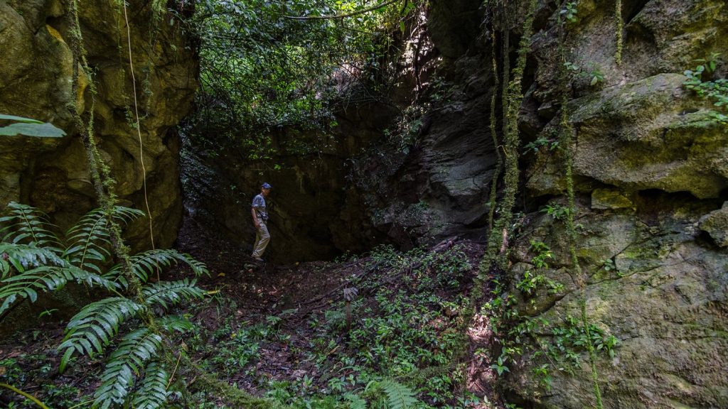
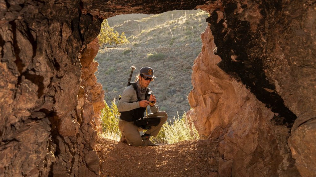
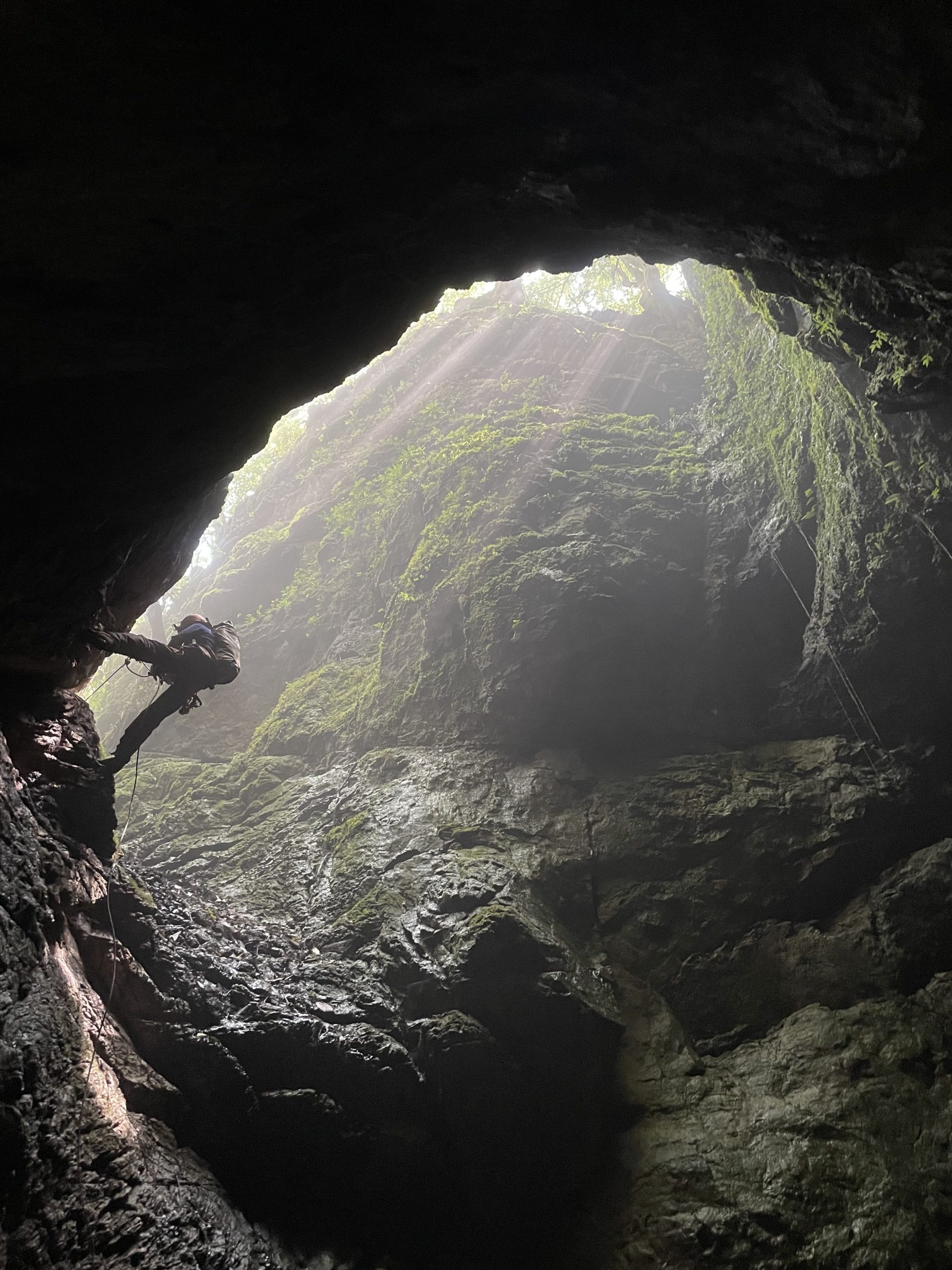
Driven by a sense of adventure that extends far below the surface, Thomas (Tommy) Shifflett is dedicated to exploring the depths of our planet. As a retired Civil Engineer and Land Surveyor from the Eastern Federal Lands Highway Division (EFLHD), Tommy devoted his post-career life to his true passion: cave exploration. For decades, he has explored some of the most remote and unexplored cave systems on Earth, including the vast Sistema Huautla in Oaxaca, Mexico. Today, he serves as co-founder of the Proyecto Espeleológico Sistema Huautla (PESH), an international effort to explore and document the deepest cave system in the Western Hemisphere.
Faced with the challenge of accurately documenting cave locations in rugged, often overgrown jungle terrain, Tommy turned to global navigation satellite system (GNSS) technology to enhance his work. After researching options for high-accuracy mapping, he discovered the Arrow 100® GNSS receiver from Eos Positioning Systems®. The receiver’s accuracy and portability provided a game-changing solution for Tommy and his team as they navigate the remote landscapes of Oaxaca.
Using the Arrow 100, Tommy and his team were able to achieve submeter accuracy while locating and mapping cave entrances, including relocating the long-lost entrance to Nita Nanta, which had been hidden beneath jungle growth for a couple of decades. Tommy continues to push the boundaries of exploration, leveraging high-accuracy technology to ensure the caves of Sistema Huautla and beyond are documented for future generations.
Discover how Tommy’s passion for exploration and technology has helped him reach the depths of the Western Hemisphere’s deepest caves!
1. Why are you passionate about your job?
I am a retired Civil Engineer and Surveyor, but my passion is related to one of my hobbies, which is cave exploration. Cave exploration provides me the thrill — and accomplishment — of discovering and charting some of the last places on Earth unseen by humans.
2. How did you first find out about Eos Positioning Systems’ GNSS products?
I researched the web for GPS receivers that would provide better accuracy than over-the-counter options for navigation. In that search, I came across Eos Positioning Systems and the Arrow Series® GNSS receivers. At the time, these types of receivers were unheard of in my industry, even by organizations with surveying departments. At my previous job at the EFLHD, we used tripods with mounted GPS receivers to establish accurate positions. This configuration would be too awkward to carry in the remote mountainous area of Oaxaca, Mexico, where our PESH cave exploration project is located. That equipment was also very expensive. The Arrow 100 provided a more agile and modern solution, and it fit our accuracy needs in dense jungle terrain.
3. What do you use Eos GNSS products for?
I use the Arrow 100 for locating cave entrances. The locations of cave entrances and passages are now far more precise with the receiver’s submeter accuracy.
4. Do you have a favorite experience or memory from your projects with Eos hardware?
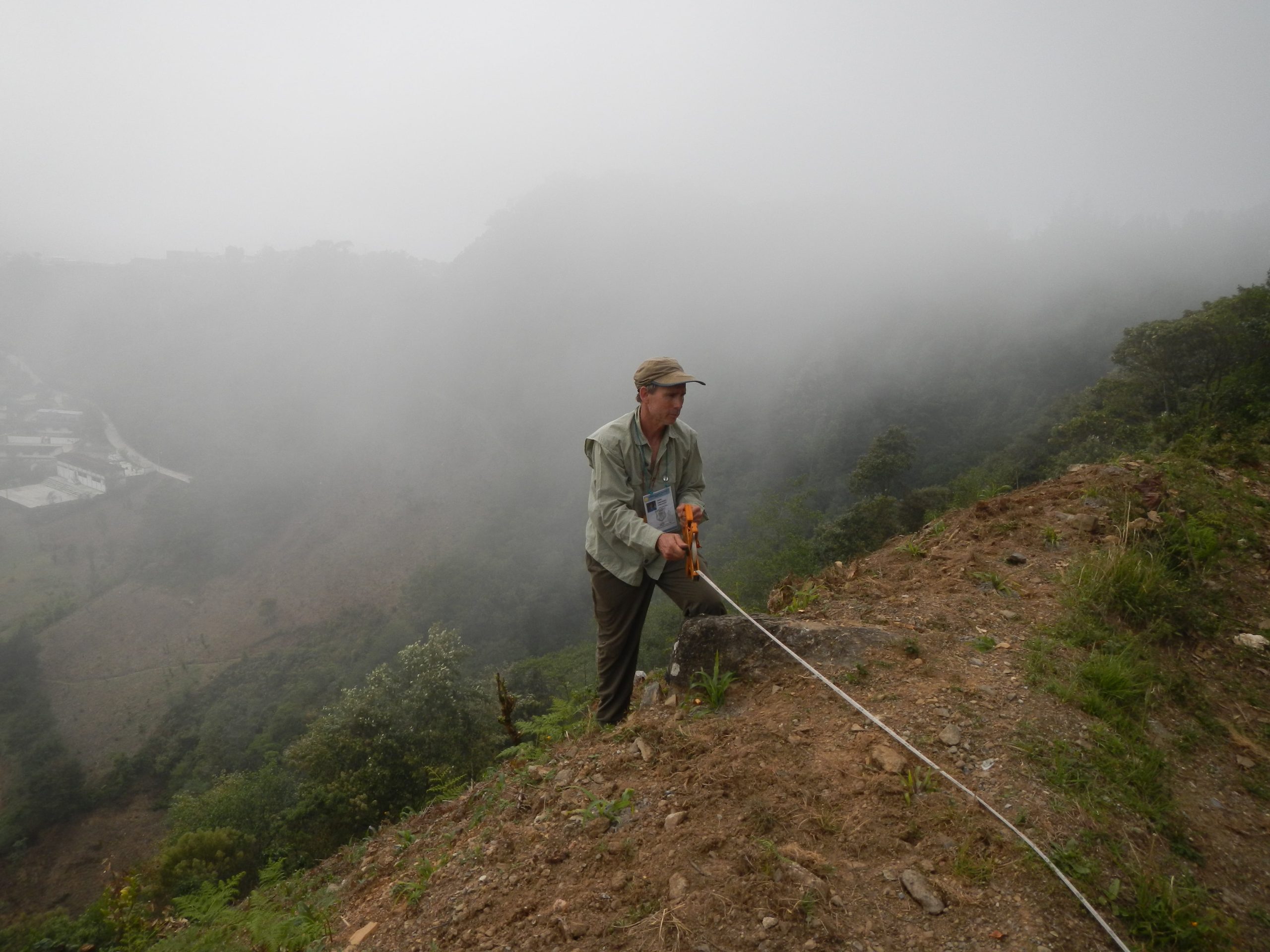
Yes, for sure. One in particular relates to relocating one of the high entrances to Sistema Huautla, named Nita Nanta. Nita is the Mazatec word for “cave.” The entrance was originally found in 1980 and explored during the early 1980s. The entrance is located at the base of a headwall, near the top of a high ridge in the Sierra Mazatecas (mountains) in Oaxaca, Mexico. At the time, the area was clear of vegetation and used as a corn field by local indigenous Mazatec people. It was once easy to find, but now the area has been overgrown by jungle, and we could not find the entrance. In 2015, we had performed an overland survey with a compass and tape between two high order monuments, covering about four kilometers over mountainous terrain. We established coordinates shown in a late 1970s and 1980s overland survey using the compass and tape so that we could calculate coordinates of the previously located entrances by using the old overland survey. However, we could not find the Nita Nanta entrance with those coordinates and could not recognize where the entrance might be found now that everything was covered in jungle. We searched on several attempts, often on ridges that would turn out to be nowhere near the entrance, based on one participant’s supposedly razor-sharp memory.
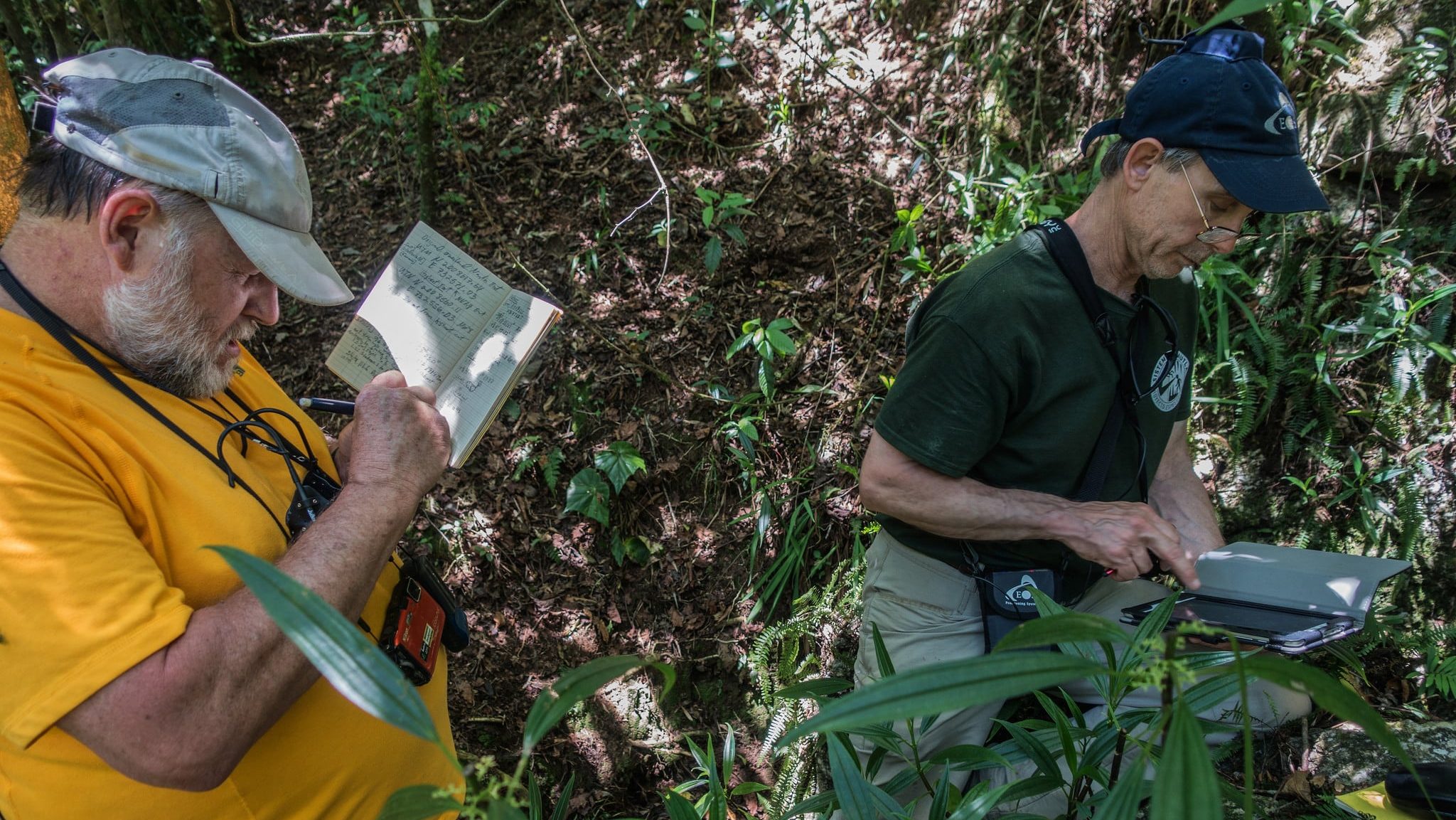
In 2016, we decided to establish coordinates using the Eos Arrow 100 receiver. As we found other entrances by using the Arrow, I replaced the compass and tape coordinates with those from the Arrow. This strategy improved the accuracy of the old overland survey. After mapping a newly found cave entrance with the Arrow 100, I believed the new entrance could be close to the Nita Nanta entrance. Thanks to the accuracy of the coordinates, I was able to calculate the bearing and distance between this nearby cave and use these to update the coordinates for the Nita Nanta entrance. Several of us returned to the area again to search for the Nita Nanta entrance. The razor-sharp memory guy insisted it had to be on another ridge from where I had calculated it to be, and he headed off with some others to explore there. In the meantime, my colleague and I headed for the nearby cave to use it as a starting point for our own exploration.
From the nearby cave, we used a compass and tape to follow the bearing and measured distance right to where we had calculated the Nita Nanta entrance to be based on the Arrow coordinates. Sure enough, the entrance of Nita Nanta was there! After several hours, the others looking for the cave on the other ridge returned, tired and sweaty. As you might guess, the sharp memory was revealed to be not so sharp!
5. Do you have a favorite feature of Eos GNSS receivers?
Besides being small and easy to carry, I like that the Arrow 100 can Bluetooth® pair to my tablet running an averaging app, GPS Average. The averaging app increases the accuracy after reading many coordinates from the satellites over a period of time. Per previous studies, after 15 minutes, the accuracy is increased by 50%.
6. Is there anything we didn’t ask you that you’d like to share with us?
We appreciate the help and assistance Eos Positioning Systems has provided in establishing accurate locations of cave entrances.
Yes. Working with the Eos staff has been one of the best experiences in our effort to establish cave entrance coordinates for the Sistema Huautla project, as well as in other projects I am involved with. This PESH project is funded mainly by expedition participants; however, the expedition would not happen without the support of companies such as Eos. There is no money made as a result of these expeditions or any of my other cave-exploration endeavors. All maps created, articles written, and photographs taken are published for free (with the exception of covering the cost to print the journals and newsletters the expedition reports are published in). We appreciate the help and assistance Eos has provided in establishing accurate locations of cave entrances.


