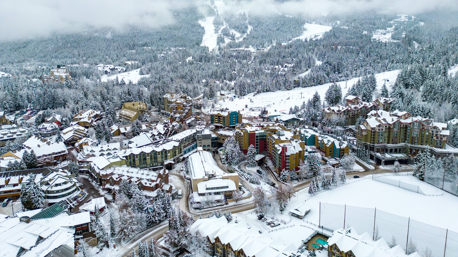
Two hours north of Vancouver, Canada, the Resort Municipality of Whistler (RMOW) is home to the largest ski resort in North America, Whistler Blackcomb. Boasting over 2 million visitors annually, Whistler is known for its beautiful mountains, crystal-clear lakes, tall forests, and sprawling trails.
But at its heart is a small, down-to-earth mountain town with a population of approximately 13,982.
Assessing a “Complete Community”
The arrival of visitors each year amplifies demands on Whistler’s infrastructure and city planning, particularly during the bustling tourist season. To address these challenges, the municipality turned to initiatives such as the Complete Communities Program, funded by the province of British Columbia.
The Government of British Columbia defines “complete communities” as offering diverse housing, catering to all ages, and providing employment, amenities, and services within a short walk. Complete communities also enhance infrastructure efficiency and have the potential to lower transportation-related greenhouse gas emissions. The Complete Communities Program offers grants to municipalities that meet certain criteria related to infrastructure, housing, and essential services.
To analyze municipalities’ completeness, the program requires accurate data. Submitting this information to the program requires data collection, analysis, and scenario testing. In response to the need for data to support this initiative, various RMOW departments sought to enhance their data collection efforts.
The Need for High-Accuracy Data
Previously, the municipality used a legacy global positioning system (GPS) receiver to map its assets. However, this device was outdated and difficult to use, and it lacked the ability to connect via Bluetooth® to mobile devices and modern data collection apps. With only two full-time workers in the RMOW’s geographic information systems (GIS) department, the data collection team was spread too thin to endure using an inconvenient device.
“We’re a smaller city with small-city funding, trying to provide small-city services with a big-city mentality,” RMOW GIS Supervisor Vanessa Pocock said. “We try to deliver a lot with a small number of people, which means we have to take advantage of expediting, automating, and gaining efficiencies everywhere we can.”
Pocock began to research global navigation satellite system (GNSS) receivers that could easily connect to their pre-existing mobile devices and would be simple to train non-GIS employees on. She received a recommendation to try the Arrow Gold® GNSS receiver from Eos Positioning Systems®.
The Solution: Accurate Data for All
The Arrow Gold connected seamlessly to Esri’s ArcGIS® data collection apps, such as ArcGIS Field Maps and ArcGIS Survey123, running on the RMOW’s Android™ tablets. Given the GIS department’s existing familiarity with ArcGIS apps, Pocock was confident the transition to the new GNSS receiver would be smooth.
The Arrow Gold also allowed the municipality to use real-time kinematic (RTK) corrections, which proved essential to achieve high accuracy in the mountainous terrain of British Columbia. Using an RTK network subscription, the municipality obtained survey-grade accuracy in most places and submeter accuracy under dense canopy.
Data Collection Bundles
The GIS team next assembled three data collection “bundles” that could be sent out for various projects. Each bundle consisted of an Eos Arrow Gold GNSS receiver and an Android tablet running ArcGIS Field Maps. They have the option of several different configurations, including a full range pole setup, a shorter telescopic pole that can be mounted to a backpack, and a vest mount. All departments who intend to use the bundles receive a brief training on the equipment and are then ready to collect data.
“It’s just simple,” Pockock said. “It’s something I can train anyone to do.”
The Results: Accurate Data Across Departments
Employing this workflow, departmental teams have taken the lead in gathering data for various projects. These include assessing alpine trails, inventorying city streetlights, collecting accessibility data, locating utility assets, monitoring graffiti, and more.
As the data is gathered, it is transmitted back to the GIS team in real-time via ArcGIS Online for review. Using this data, the GIS department can generate maps and reports to show their progress toward becoming a complete community.

One area that has benefited from this high-accuracy mapping technology is the FireSmart Whistler program, geared toward equipping residents with skills to prepare for and mitigate wildfires.
To illustrate the extent of their FireSmart program efforts, the team uses Arrow GNSS receivers to meticulously map the perimeters of fire-prevention treatment areas. Because these areas often border private properties, it’s crucial for the fire team to accurately locate themselves in the field and define the treatment area perimeter. This helps them ensure they are not interfering with any neighboring private land. All work is documented afterward in an ArcGIS Survey123 form, which helps monitor progress.
“Prevention, that’s a hard thing for people to grasp, “Pocock said. “Having that information collected and displayed spatially shows the breadth and scope of the areas where we’re working.”

Looking Ahead: Leveraging Data for Decision-Making
Departments are now securing funding for projects like FireSmart with reliable data to support them. The streamlined mobile data collection process led to an increase in accurate data across the municipality, providing a vital resource for Complete Communities grant applications, various project proposals, budget approvals, and more.
“GIS is an essential tool that we use to do analysis,” Pocock said. “It’s acting as a resource, similar to the Internet — just sitting there waiting for you to use it. And it’s there to give you the answer when you want it.”
You May Also Like One of These Success Stories

A Forward-Thinking Michigan Municipality Implements High-Accuracy Maps for Program Management
The City of Saline brought GIS in house, deployed high-accuracy GNSS receivers, and is working toward a streamlined longterm master plan.

Warren County Water District Looks to “Elevate” Its Hydraulic Modeling with Survey-Grade Maps
Warren Water mapped wastewater assets with centimeter-level accuracy to help engineers with hydraulic modeling.
