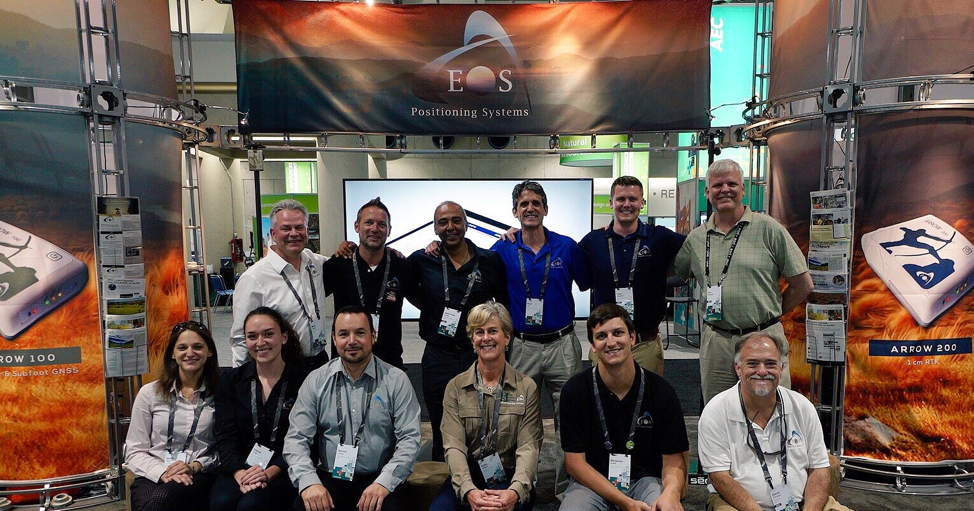
What’s a better way to get introduced to the world of GIS and GNSS than by attending a conference with 19,000 of their biggest fans?
Admittedly, I was a bit nervous coming into the 2019 Esri User Conference (UC) for the first time. I only recently dove into the GIS and GNSS industries (as in, the 2019 Esri UC was my second week on the job at Esri Silver Partner, Eos Positioning Systems). And while I consider myself a bit of a tech nerd (i.e., consider me a drone-loving, virtual-reality-embracing, multimedia-producing early adopter) — this area was completely new to me! Although I did my research beforehand, there is obviously lots to absorb.
Finding my GIS niche at the 2019 Esri UC
Upon watching the plenary, I realized that the GIS industry is vast and filled with an endless list of applications. I was excited and a bit overwhelmed by all the opportunities, but I was pleasantly surprised to find niche areas that aligned with my existing interests throughout the conference. From my past experience flying drones alone, I was able to spark many conversations with other attendees about mosaic mapping, for instance, and other forms of drone tech. As a past virtual-reality (VR) and augmented-reality (AR) content creator, I became fascinated by the many possibilities of combining GIS with 3D-visualized data from Esri partners like vGIS, and adding on high-accuracy GNSS technology to the mix. Finally, as an avid nature-lover and hiker, I was thrilled to see the theme of conservation run consistently throughout the conference. After a few days, I realized there were a million ways for someone like me to fit into this industry, and that no exhibitor, attendee, or employee was completely alike.
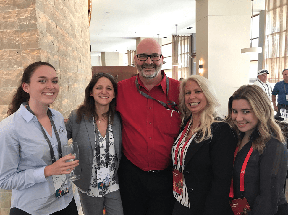
Noticing similarities in people from all over the world
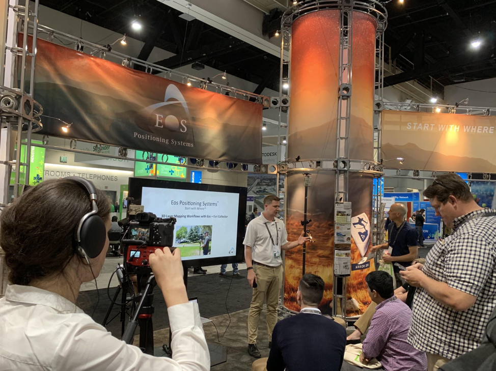
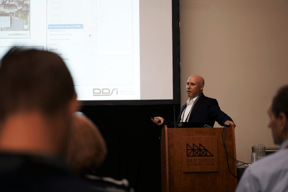
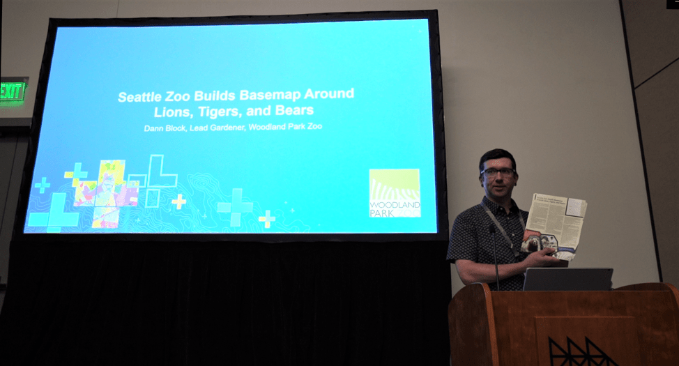
During my time at the Eos booth, I met people from all around the world. I enjoyed hearing how different users put our Arrow GNSS receivers to use, and the ideas they had for future applications. I was able to have conversations with people I had read about in our case studies. There was Mike George, for instance, who uses laser mapping in his projects for DDSI. There was also Dann Block, who uses our receivers to map enclosures at the Woodland Park Zoo. Most of all, I loved learning about how others adopted GNSS technology and made it a part of their own lives. As someone new to the industry, this was an exciting realization — many people at the conference had only just recently dove into GNSS too, and were coming up with brand new applications!
Closing thoughts
In short, I dove into the deep end when it came to my introduction of GNSS. But at the same time, I couldn’t think of a better way to get a comprehensive snapshot of the community, or a better place to learn.
Overall, I was impressed by the overwhelming sense of excitement and opportunity at the 2019 Esri UC. It became clear to me that the GNSS industry is indeed booming — the week was filled with new ideas, opportunities, and eagerness for the future!
