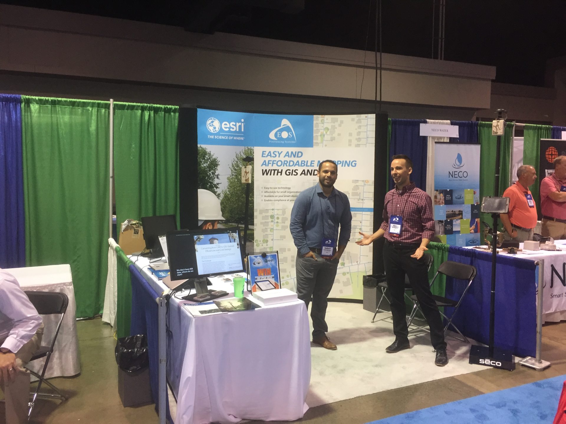
Visit Eos Positioning Systems® (Eos) — an Esri EPC Award-Winning Silver Partner and ArcGIS Online Specialty Partner — at three 2019 Esri Water Meetups in California. These meetups will travel to three cities in three days: in Auburn on May 14, San Luis Obispo on May 15, and Rancho Santa Margarita on May 16.
Eos is a Canadian company and Esri Silver Partner that specializes in simple, affordable, high-accuracy field solutions (GPS / GNSS) for the GIS and mapping community. Eos Arrow Series Bluetooth GPS (GNSS) receivers fit directly into existing mobile GIS workflows on the Esri ArcGIS Platform via ArcGIS Online and related data-collection apps (e.g., ArcGIS Collector, ArcGIS Survey123, and more). Our solutions simply replace lower accuracy native device locations with higher-accuracy (submeter/cm) GNSS locations and metadata. The Arrow Series® GNSS (external Bluetooth® GPS) receivers work with any mobile device and field data-collection app.
For details about each of the three 2019 Esri Water Meetups — including links to free registration — scroll down.


