Visit Eos Positioning Systems® (Eos) — an Esri Silver Partner and ArcGIS Online Specialty Partner — at the 2018 Esri Panama UC (2018 Conferencia Panameña de Usuarios Esri). This year’s event will be held at the Centro de Convenciones in the Ciudad del Saber, Panama.
Eos will be exhibiting at the event and also providing a 25 minute technical presentation on high-accuracy GIS. See how organizations throughout Latin and South America are taking advantage of Esri mobile workflows with high-accuracy GIS thanks to the growing popularity of Eos Arrow Series® GNSS receivers.


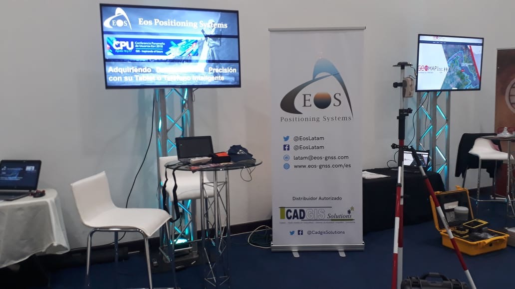
How to find Eos at the 2018 Esri Panama UC (2018 Conferencia Panameña de Usuarios Esri)
Eos will be exhibiting from August 16-17 in Ciudad del Saber.
Location
Centro de Convenciones: Ciudad del Saber, Calle Etanislao Orobio 184, Panamá
Expo Date & Time
August 16-17
Eos Session Details
August 17, 9am
“How to Take Advantage of New High-Precision Data Acquisition Methods using Arrow Series GNSS Receivers and ArcGIS Collector”
About Eos and Esri
Eos works with Esri to provide affordable and intuitive high-accuracy field work solutions for organizations of all types, sizes and industries
See how Eos is partnering with Esri and Esri Canada to bring submeter and centimeter RTK field data collection to GIS users on any device — including iOS®, Android, and Windows / Windows Mobile. Visit the Eos booth to learn the best practices for pairing a high-accuracy GPS / GNSS receiver with any of your mobile devices, using ArcGIS Collector and Survey123.
About the 2018 Esri Panama UC
The 2018 Esri Panama UC is an annual meeting of regional GIS users from all across Panama and Latin America. Discover new insights on the ArcGIS Platform, including how The Science of Where applies to high-accuracy GNSS data collection.
For more details about the event, click here.