Visit Eos Positioning Systems® (Eos) — an Esri Silver Partner and ArcGIS Online Specialty Partner — at the 2018 Esri Gulf Coast User Conference in New Orleans, LA. This year’s event will be held at The Roosevelt, and Eos will be a Silver Sponsor.
Discover how high-accuracy field location works and meet the Eos team bringing simple high-accuracy field solutions to ArcGIS users worldwide. That includes workflows on Esri’s ArcGIS Collector and ArcGIS Survey123 mobile apps.
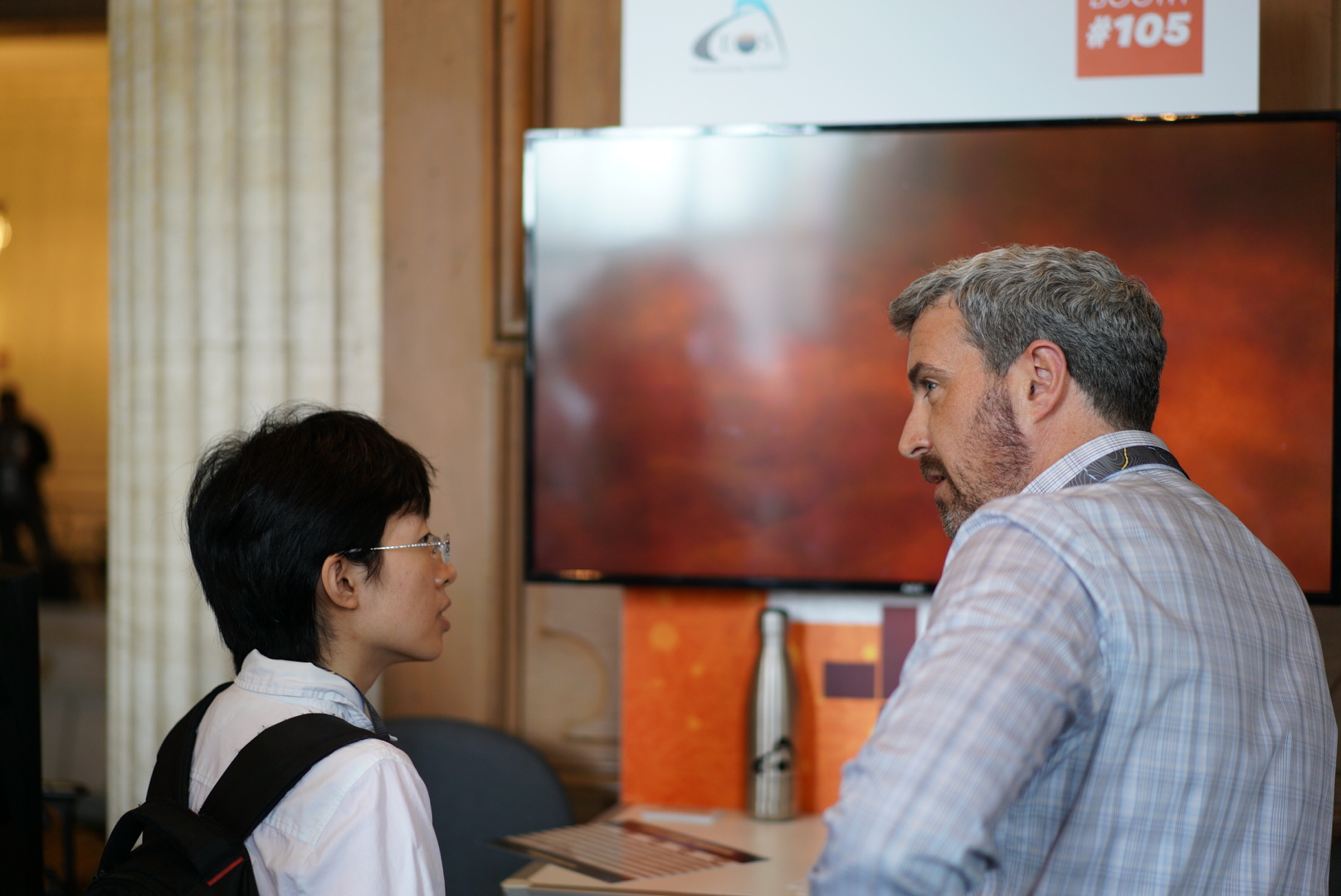
How to find Eos at the 2018 Esri Gulf Coast User Conference
Eos will be exhibiting as a Silver Sponsor from October 10-11.

About Eos Arrow and Esri
Eos works with Esri to bring affordable and intuitive high-accuracy field solutions to GIS users across industries.
This means submeter and centimeter RTK field data is available on your phone or tablet, regardless of which operating system you use. So your crews can work on iOS®, Android, Windows, Windows Mobile, or a combination of devices. The data they collect goes straight to your enterprise geodatabase, in real time, thanks to the powerful ArcGIS Online platform. Visit the Eos booth to learn how to pair a high-accuracy Arrow GPS / GNSS receiver with any of your mobile devices, using ArcGIS Collector and Survey123.


Location
The Roosevelt New Orleans, A Waldorf Astoria Hotel
New Orleans, LA
Expo Date & Time
Oct 10 from 7-10 a.m.
Oct. 11 from 4-6 p.m.

About the 2018 Esri Gulf Coast User Conference
The 2018 Esri Gulf Coast User Conference is a regional conference from Esri. Join professionals from all around the Gulf Coast for technical sessions, training, partner spotlights, and networking with more than 350 GIS professionals. Discover new insights on the ArcGIS Platform, including how The Science of Where applies to high-accuracy GNSS data collection.
For more details about the event, click here.