


Visit Eos Positioning Systems® (Eos) — a 2019 Esri Award-Winning Silver Partner and ArcGIS Online Specialty Partner — at SIG 2019 (the Esri France UC). This year’s event will be held at Les Docks de Paris in Paris, France. The Eos team will be exhibiting from October 16-17.
Eos is a Canadian company and Esri Silver Business Partner that specializes in simple, affordable, high-accuracy field solutions (GPS / GNSS) for the GIS and mapping community. Eos Arrow Series Bluetooth® GPS (GNSS) receivers fit directly into existing mobile GIS workflows and data-collection apps (e.g., Collector, Survey123, and even your own proprietary application!). Our solutions simply replace lower accuracy native device locations with higher-accuracy (submeter/cm) GNSS locations and metadata. The Arrow Series® GNSS (external Bluetooth® GPS) receivers work with any mobile device and field data-collection app.
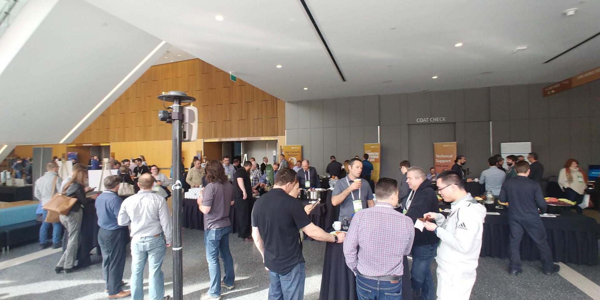
Scroll down to learn how to find an authorized Eos representative at SIG 2019. Ask for a demonstration of submeter/cm data-collection with Arrow GNSS!
Find our Team on the SIG 2019 Floor Plan!
Find the Eos team in the SIG 2019 expo hall. We will be located at Booth #15 on the floor plan:

Location
Les Docks de Paris
87 av. des Magasins Généraux
93300 Aubervilliers
Expo Dates and Times
16 October:
8h – 9h15
11h – 11h20
12h30 – 14h
16h – 6h30
18h30 – 19h15
17 October:
8h – 9h
11h – 11h30
13h – 14h30
Social Media
Event Website
https://sig2019.esrifrance.fr/
Session we recommend:
“Solutions GPS/GNSS de haute précision pour les applications mobiles de ArcGIS”
Presenter: Jean-Yves Lauture, CTO, Eos Positioning Systems
Time: October 16, 13h-13h30
Location: Théâtre Nord
For more information click here
Synopsis
During the Esri France 2018 GIS (SIG) conference in Paris, France, Jean-Yves Lauture, President and Technical Director of Eos, traces the history of Eos Positioning Systems (Eos). Created in 2014, Eos’ mission is to make high-accuracy GNSS — which is usually reserved for surveying communities — accessible to all professional mapping communities. The mission is to achieve this while keeping the GNSS receivers simple and financially affordable.
In this video, Jean-Yves Lauture explains the trends causing non-surveying mapping professionals to use this type of solution. The Eos Arrow Series GNSS receivers, which are manufactured by Eos and distributed in Europe by a dealer network, also include a new feature — based on a partnership with Esri and Laser Technology Inc (LTI) — to provide a real, total-station like workflow using just ArcGIS Collector, the Eos Arrow GNSS receiver, and the LTI TruePulse rangefinders.
Jean-Yves Lauture also addresses new added functionality for adopters of this user-friendly GNSS, including the ability for field crews to safely perform point-surveys in dangerous or normally inaccessible situations — such as open trenches. Finally, Lauture describes the new release of geoid model support.
Interview conducted at Esri SIG 2018 by Xavier Fodor and Geoffrey Boyer for SIGMAG SIGTV, originally published here.
This blurb has been translated from French.
Featured Case Study: Consultancy Identifies Property Lines Under Dense Canopy with Arrow 100

Forestry is a huge contributor to the Swedish economy. But getting landowners to agree on new legal boundaries is expensive. This has created a private market for validating existing property lines.