Benson Crowell constantly aimed to exceed expectations. Having worked in computer-aided design (CAD) for decades, he then brought his experience to the Texas Department of Health and Human Services (TDHHS). When he first began his job as CAD Manager, the department expected it to be a simple, laid-back job of answering questions and providing expertise. Instead, Benson began integrating geographic information systems (GIS) with CAD drawings across 23 campuses using high-accuracy Eos Arrow Gold® GNSS receivers, Eos Laser Mapping™ for ArcGIS®, and drone imagery. The result? Fully updated, highly accurate site plans to improve maintenance for campuses across the state.
Keep reading to learn how he did it …
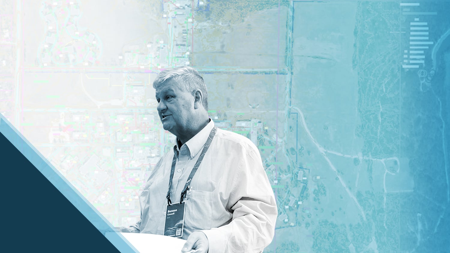
In Memoriam
Eos Positioning Systems would like to dedicate this article to the memory of Benson Crowell. The Eos team feels fortunate to have met Benson during the 2022 Esri User Conference. At the event, we got to know Benson as a wonderful person who was so clearly passionate about his work and connecting with others. His enthusiasm for geospatial technology was evident through his vibrant presentation and conversations with attendees, exhibitors, and friends. We are honored to share his work and knowledge.
1. Why are you passionate about your job?

Early in my career, I had to do more with fewer people. That meant learning how to use computers and photographic technologies to get things done. Back in those days, companies had to purchase million-dollar mainframe computers, software, and microfilm retrieval systems to keep their CAD updated and current.
These days, those same goals are now more attainable using new and efficient computer hardware and software. This means that learning new tools and workflows is simpler, and expectations are higher. This challenge is very exciting for me and gets me up early every day.
2. How did you first find out about Eos Positioning Systems’ GNSS products?
The Eos Arrow GNSS receivers were first shown to me at a GIS show in Austin, Texas. I knew that I was going to need highly accurate survey information if I was going to build accurate site plans for the state that could replace the need for expensive ground surveys. Four years ago, we all knew that using GPS-only receivers to capture points was pretty much impossible due to the limited sky around buildings and poor signal under tree cover.
As we looked for ways to do field collection with less expensive survey equipment, we were shown the Eos Arrow Gold GNSS receiver. We discovered that not only could it capture points next to multistory buildings, but it also performed well under tree cover. Then we learned that these units were used by one of our state agencies not only for accuracy, but also because they cost far less than other receivers made by other manufacturers.
3. What do you use Arrow Series® GNSS receivers for?

We have contracted an Eos representative to provide surveying for 8 of our 23 campuses. The ability to capture data quickly has allowed these crews to easily survey campuses that are far from their home base. Even with the extra hours for travel, they can capture the same data at a lower cost than local crews using less efficient equipment.

4. Do you have a favorite experience or memory from your projects with Eos Arrow?
My favorite story is about a campus that decided using a local survey company would be cheaper and easier than contracting an out-of-town team that used Eos equipment. So, they started on the project with the local surveyor and could not get the project done in one day. In fact, they took three days to do what teams using Eos were doing at other campuses in one day.
5. Do you have a favorite feature of Arrow GNSS receivers?
They are a fast, reliable, and less expensive solution compared to other survey equipment.
6. Is there anything we didn’t ask you that you’d like to share with us?
I have noticed, personally, that the teams that use the Eos Arrow receivers also seem to be innovators. They frequently use the laser rangefinder to capture points that are hard to get near or maybe dangerous to get to, and are well-versed in the use of GIS software and workflows.

Explore Related Content

Field Demonstration: 3 Eos Laser Mapping Methods
In these videos, we demonstrate data capture using 3 Eos Laser Mapping methods: Range-Azimuth, Range-Backsight, and Range-Range.

Transforming Campus Facility Management with GIS: Site Plans – ArcGIS Meets AutoCAD [An Esri UC Session]
Can high-accuracy GNSS and GIS integrate with CAD? Discover how in this recorded 2022 Esri UC presentation.
