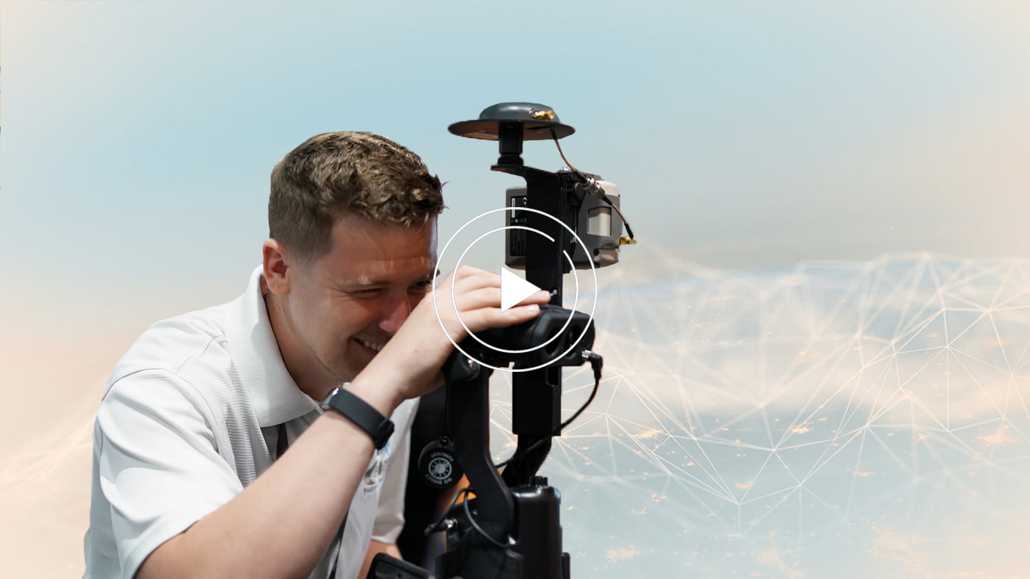
What does each of the three available Eos Laser Mapping™ methods look like in the field? In these three quick video demonstrations, an Eos representative performs a complete data capture using each of the three available Eos Laser Mapping™ methods:
- Range-Azimuth
- Range-Backsight
- Range-Range (sometimes called “Range-Intersect”)
After you see what each method looks like, we invite you learn more about choosing which workflow works best to fit your needs. Visit “Eos Laser Mapping: Choose Your GPS Workflow” after reading this article. You can also contact our team for personal guidance on choosing the best workflow for your application.
Workflow 1: Range-Azimuth
The Range-Azimuth workflow requires the following equipment:
- An Arrow Series® GNSS Receiver
- Eos Tools Pro
- ArcGIS Field Maps (or ArcGIS Collector)
- iOS® Device (iPad®, iPhone®) version 11 or later, (OR)
- Android Mobile Device – Please note that as of March 29, 2022, this solution will also run on Android mobile devices.
- An LTI Laser Rangefinder: LTI TruPulse 360 Laser Rangefinder (choose the international model of the TP360R when purchasing)
- Eos Bridge™ (recommended with the TruPulse 360 international model for the Range-Azimuth method)
Recommended Mounting Equipment for Range-Azimuth:
- Eos range pole
- LTI TruPulse Range Pole Bracket
Workflow 2: Range-Backsight
The Range-Backsight workflow requires the following equipment:
- An Arrow Series® GNSS Receiver
- Eos Tools Pro
- ArcGIS Field Maps (or ArcGIS Collector)
- iOS Device (iPad, iPhone) version 11 or later, (OR)
- Android Mobile Device – Please note that as of March 29, 2022, this solution will also run on Android mobile devices.
- LTI Laser Rangefinder equipment:
- LTI TruPulse 200X Laser Rangefinder
- LTI MapStar TruAngle Angle Encoder
Recommended Mounting Equipment for Range-Backsight:
- Tripod
- LTI TruAngle Mounting Bracket (with TruAngle)
Workflow 3: Range-Range (aka Range-Intersect)
The Range-Range workflow requires the following equipment:
- An Arrow Series® GNSS Receiver
- Eos Tools Pro
- ArcGIS Field Maps (or ArcGIS Collector)
- iOS Device (iPad, iPhone) version 11 or later, (OR)
- Android Mobile Device – Please note that as of March 29, 2022, this solution will also run on Android mobile devices.
- An LTI Laser Rangefinder:
- LTI TruPulse 200X Laser Rangefinder
- LTI TruPulse 360 Laser Rangefinder (choose the international model of the TP360R when purchasing)
Recommended Mounting Equipment for Range-Range:
- Range pole
- LTI TruPulse Range pole bracket
You May Also Like One of These Resources

Eos Laser Mapping: Choose Your GPS Workflow!
With Eos Laser Mapping you have three standard workflows to choose from. This article shows you video and best uses for each setup.

Free Eos Laser Mapping for ArcGIS Field Maps: Request the Recording
Eos is pleased to offer a free training workshop for Eos Laser Mapping™ with ArcGIS Field Maps. Learn how to map assets from afar while retaining high accuracy.