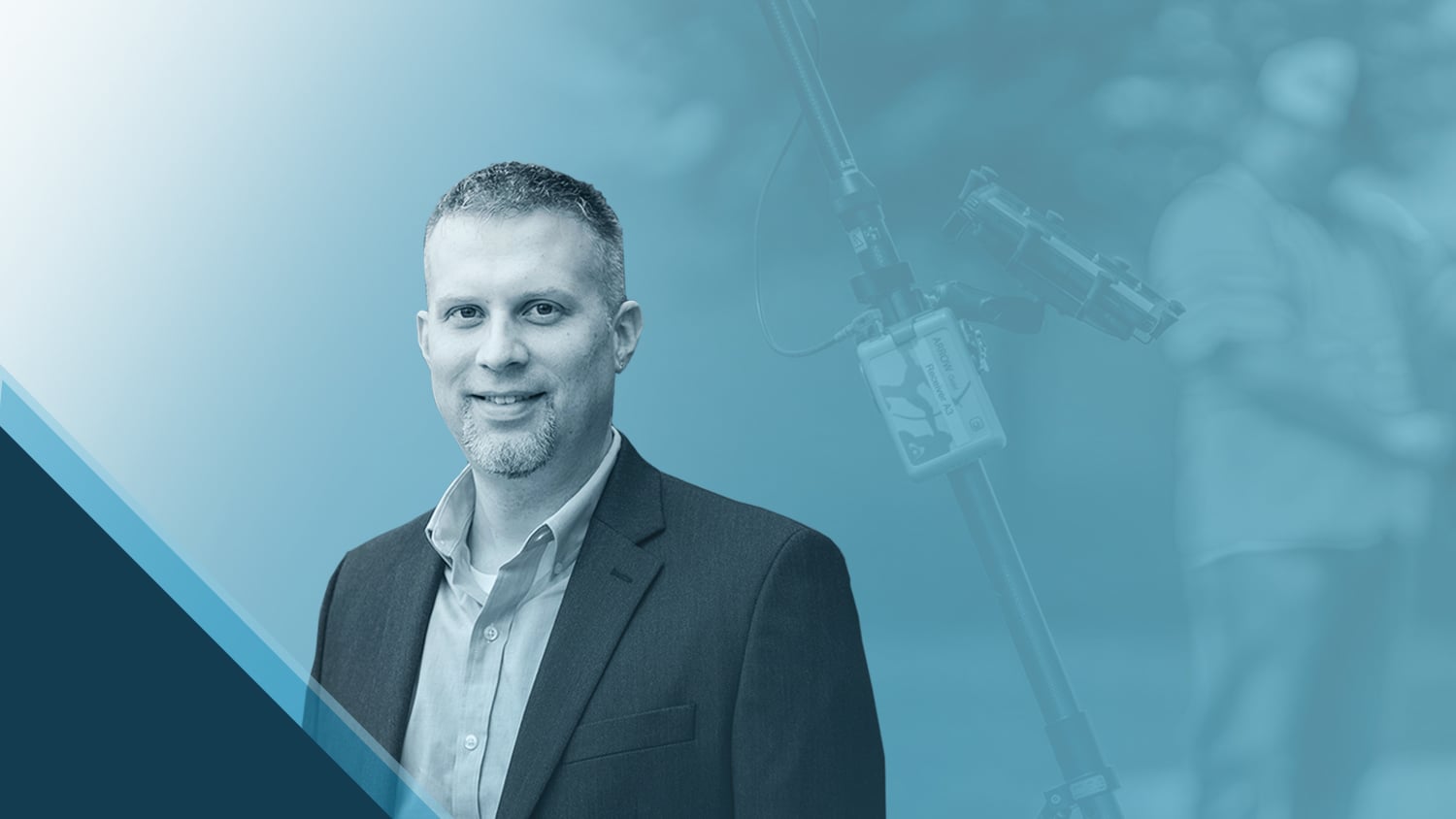
They say variety is the spice of life — and as Geographic Information System (GIS) Project Manager at Bolton & Menk, David Malm has no shortage of diverse projects. Bolton & Menk specializes in providing community infrastructure solutions to a multitude of industries, especially municipalities. In his role, David manages a team of professionals who assist clients (both internal and external) in database creation, data analysis, map development, and asset management.
His goal is to improve efficiency and accuracy for all clients, whether they are performing inspections on a construction site, collecting the locations of archaeological artifacts, or taking off for a UAV flight. Find out how David enables his clients to take advantage of these time-saving efficiencies!
1. Why are you passionate about your job?
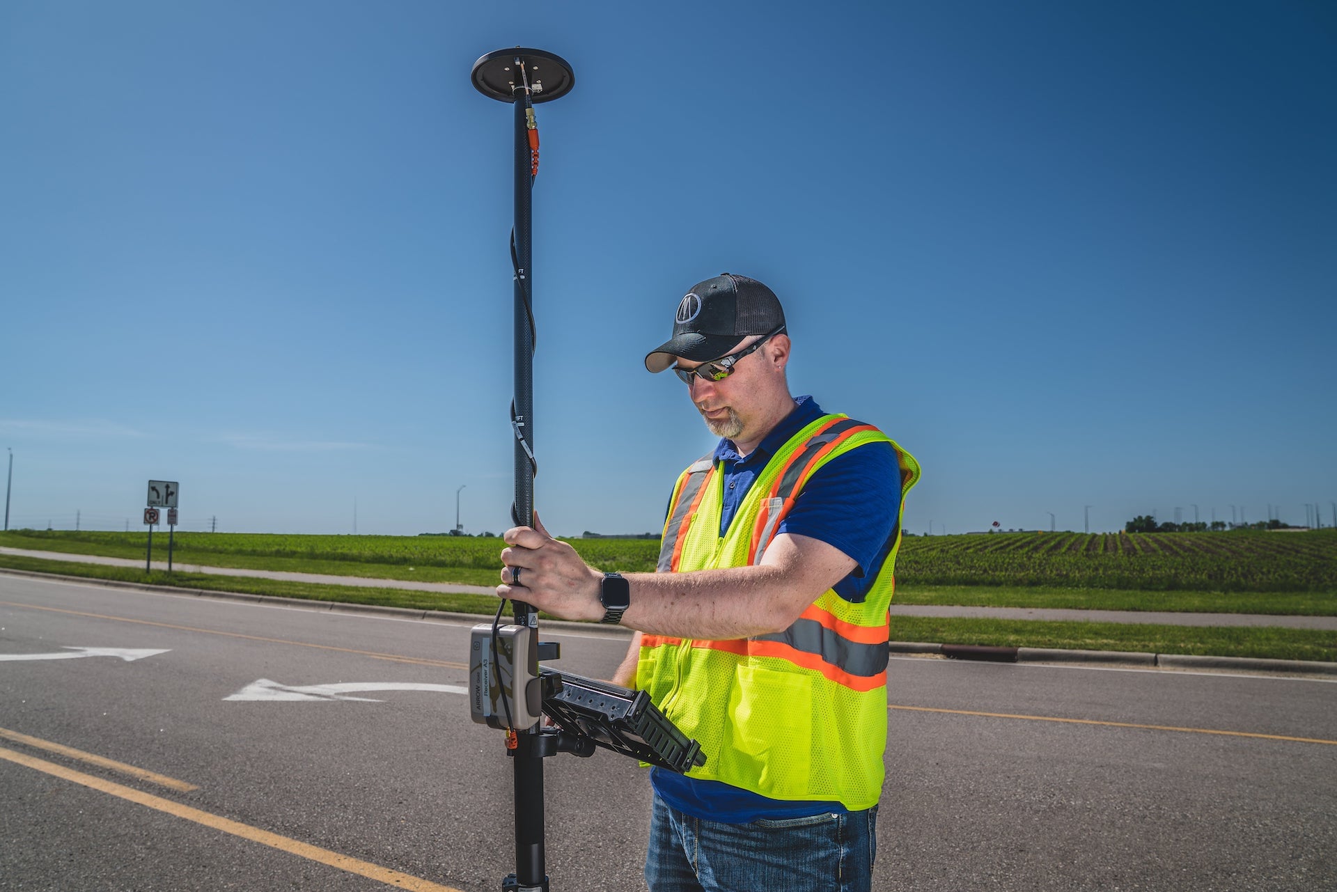
When my son was born, I realized I needed to make a change in order to have better work-life balance. So, I decided to leave behind my prior life managing call centers and embark on a new career path: GIS. Luckily, that also meant that I was able to turn maps, about which I have always been passionate, into a career. I have been fascinated with maps since I was a child. I was always the navigator on family road trips, and whenever someone talked about a place or landmark, I would immediately research where it was. I’ve also always loved learning about new technology. Those two things together sound an awful lot like GIS to me! It turns out, this was the right field for me to work in.
In my current role at Bolton & Menk, I’m able to leverage GIS with both internal and external clients and help them bring this technology into the field. I love being able to help people find better, faster, and more efficient ways of doing things. If I can make someone’s job easier, then I’ve accomplished what I set out to do.
2. How did you first find out about Eos Positioning Systems’ GNSS products?
At Bolton & Menk, we have utilized mapping-grade GPS technology for years. Previously, we used mapping devices from a few different providers, but we found ourselves encountering some limitations that proved exceptionally cumbersome.
We were first introduced to Eos at the 2018 Minnesota GIS/LIS Annual Consortium. One of the cities in the area had been using Arrow GNSS receivers from Eos Positioning Systems, and they had great things to say about them. At the time, we had been using legacy GNSS equipment for general GPS collections, to verify and record various assets of the construction process. But we found our legacy equipment lacking in accuracy, particularly for vertical measurements. After discovering the ease of use and high accuracy of the Eos Arrow models, it was an easy decision to implement them in our workflow. Today, we’ve scaled up our use of Arrow. Bolton & Menk now has 29 Arrow Gold® receivers and 67 Arrow Gold+™ receivers.
3. What do you use Arrow Series® GNSS receivers for?
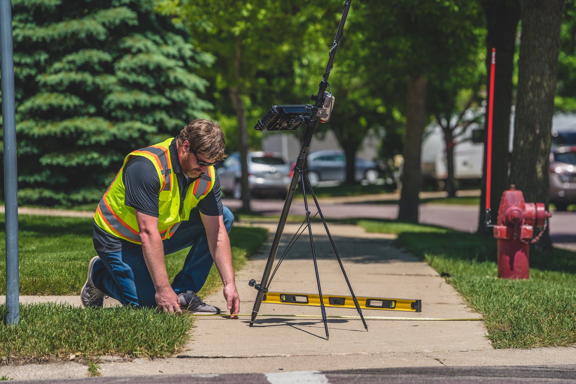
This GIS-based process puts the power of the Eos Arrows at the fingertips of even the most novice users.
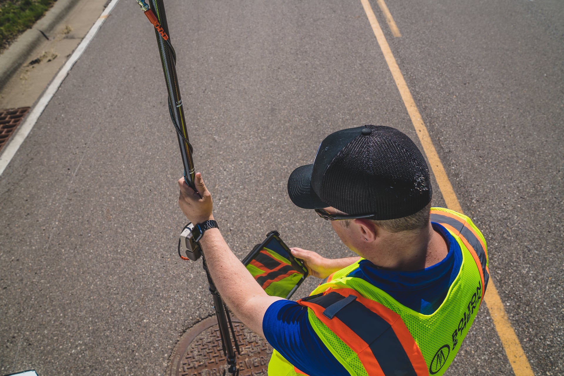
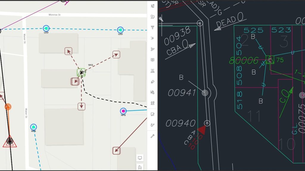
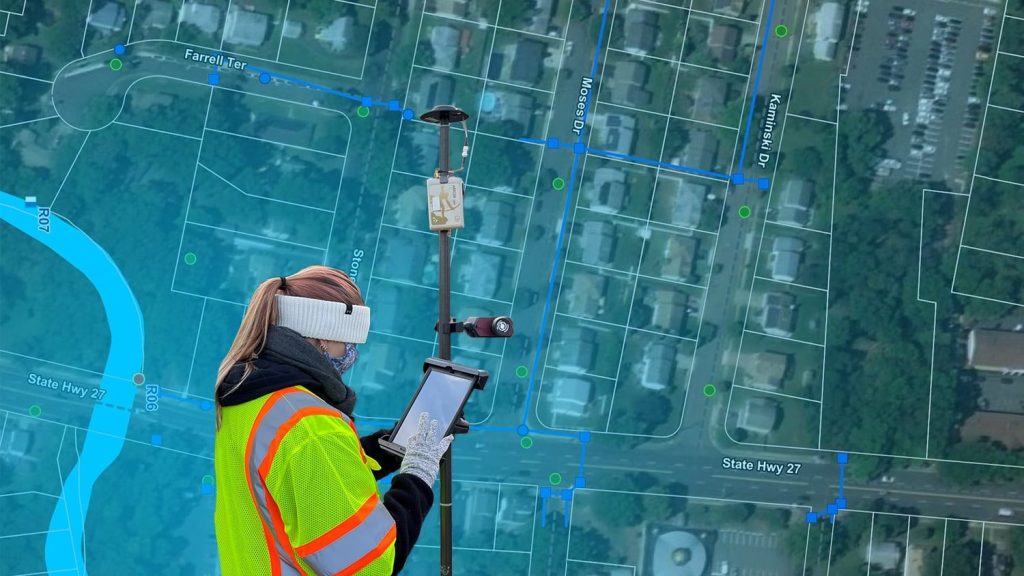
Our Arrows are used in a variety of ways. They are used by our cultural resources staff to record locations for archaeological digs, by our natural resources staff to collect data for wetland management, by our reality-capture staff to collect UAV ground control points (GCPs), by our GIS staff to map city infrastructure, and by our engineering staff for construction inspection documentation. And this is just the beginning! Our staff regularly finds new and innovative ways to leverage this technology, and it has become an invaluable tool for daily work.
We’ve also automated processes for non-technical staff to go from the office to the field faster with a custom-developed web interface that communicates with ArcGIS® Online on the backend. This GIS-based process puts the power of the Eos Arrows at the fingertips of even the most novice users.
4. Do you have a favorite experience or memory from your projects with Eos Arrow?
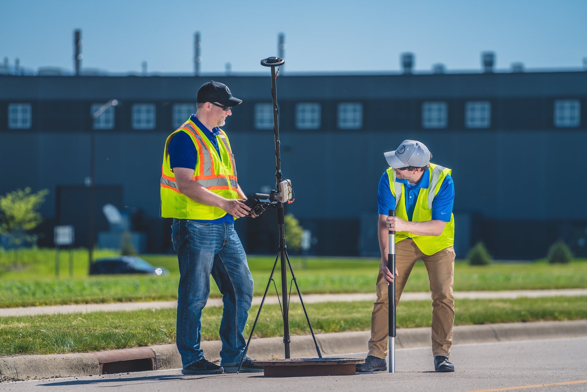
By the end of the day, they couldn’t wait to get out and start using the Arrow GNSS receivers. Field staff were telling their boss about how much time it was going to save them and that we need to get one for everyone.
I still remember one of the first trainings I held to get our field staff up and running with the Arrows. Some of the staff were a little bit skeptical about learning a new way to do things. By the end of the day, they couldn’t wait to get out and start using the Arrow GNSS receivers. Field staff were telling their boss about how much time it was going to save them and that we need to get one for everyone. I’ve encountered the same reaction many times since then. It’s a great feeling to know that someone is that excited about a new tool or process.
5. Do you have a favorite feature of Arrow GNSS receivers?
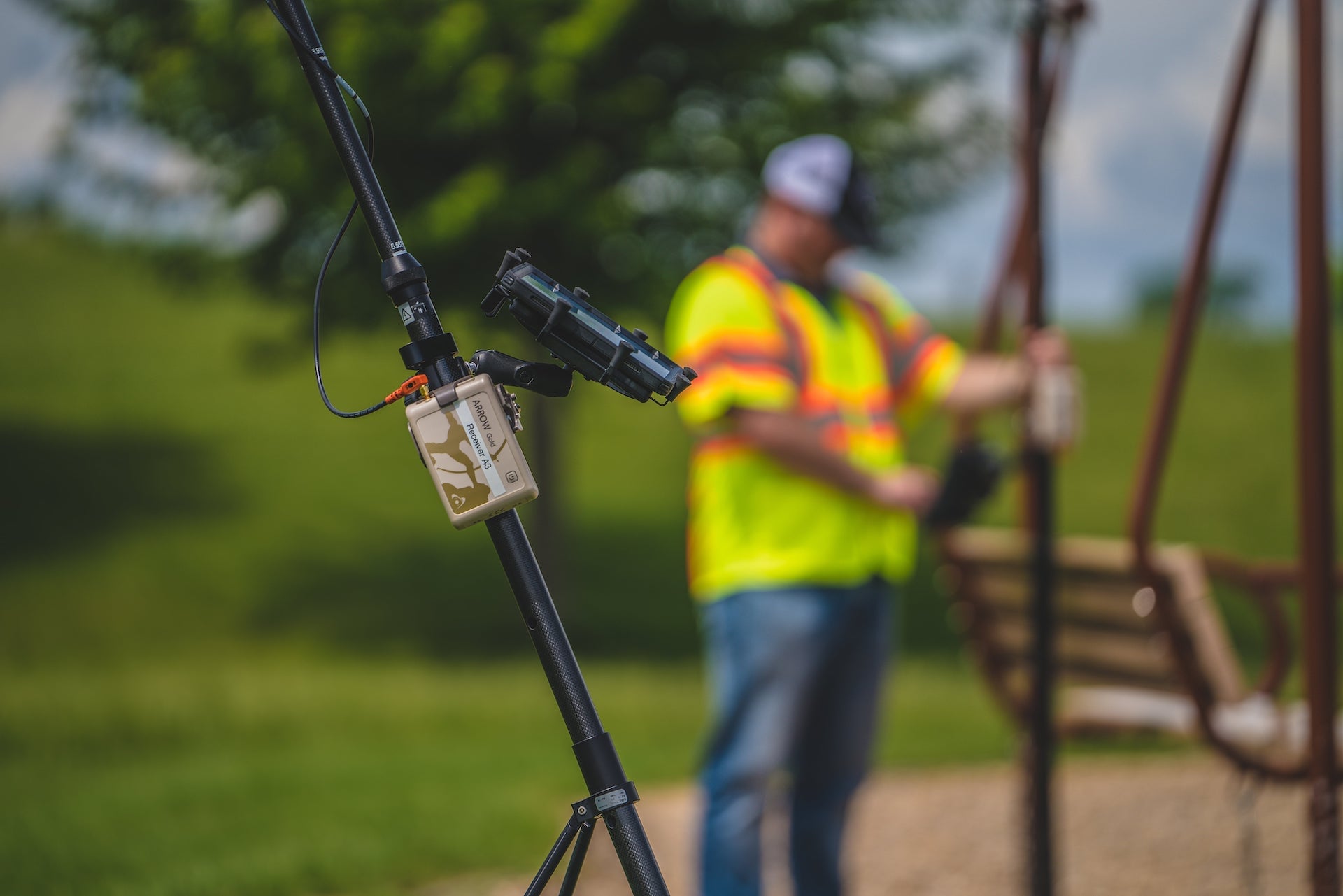
My favorite thing about the Arrow receivers is that they are easy to use. With more than 100 different GPS units to manage within our company, as well as numerous units that our clients are using, general support and troubleshooting can take up a significant amount of time. Our Arrow receivers give us far fewer issues, and require much less support, than other models we have utilized in the past.
It’s hard to overstate just how much the quality and simplicity of the Arrows have driven process innovation at Bolton & Menk. Whenever the Arrow GNSS receivers have been introduced into a new service area, we immediately receive requests to purchase more.
6. Is there anything we didn’t ask you that you’d like to share with us?
It’s hard to overstate just how much the quality and simplicity of the Arrows have driven process innovation at Bolton & Menk. Whenever the Arrow GNSS receivers have been introduced into a new service area, we immediately receive requests to purchase more. Our staff raves about how much it has improved their ability to get their work done efficiently and accurately. It truly has become an indispensable tool.
