
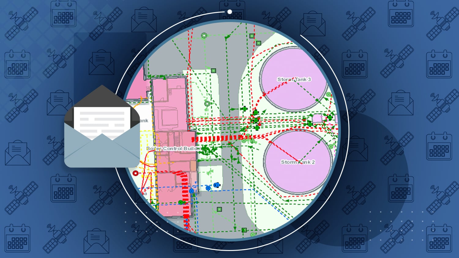
Eos Newsletter May 2019 Feature Story:
Arrow Gold for Locates: Niagara Region Keeps Infrastructure Safe with Centimeter Accuracy from Arrow Gold RTK Base Station and Esri Collector
Niagara Region deployed a real-time GNSS data collection system using their own RTK base station. They were then able to implement a real-time GIS workflow that improved their ability to keep infrastructure safe through locates.

Eos announces Associate Membership with NRECA
Eos provides cross-platform compatible GPS/GNSS receivers for rural electric cooperatives who wish to acquire higher accuracy in existing field workflows.
Read more …

Interview with Eos CTO Jean-Yves Lauture
GeoConnexion International explores the history and future of Eos Positioning Systems.

Using Arrow Gold for Ground Control Points
GeoConnexion International reports how a Texas consultancy is creating beautiful orthophoto mosaics and digital surface elevationn maps from above.
Read more …
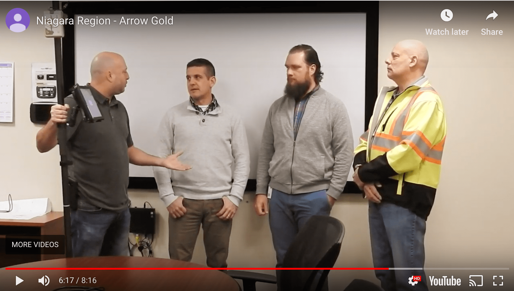
Interview with Niagara Region
Bernard-Luc from GPS Precision revisits the team from this month’s success story to explore why they chose the Arrow RTK Base Station and Esri Collector solution.
Watch the video …
Achieve Cm Accuracy in Challenging Places
Tauren Nyland explains how to collect high-accuracy locations in GNSS-impaired environments with an Esri/Eos/LTI solution.
Read more …

Browse technical tips from Eos Technical Support Manager Alvaro
Alvaro’s March Topics:
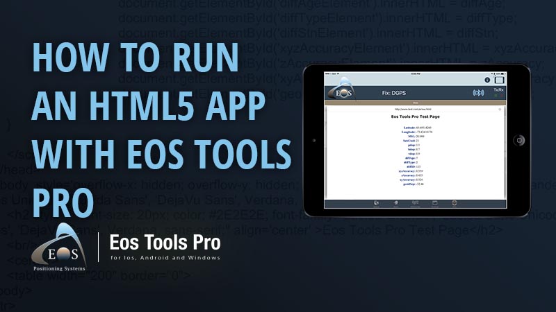
How to Run an HTML5 App in Eos Tools Pro
Learn how to get full access to Arrow GNSS metadata and all Eos Tools Pro features (including alarms, NTRIP) in one HTML5 app.
Learn how …
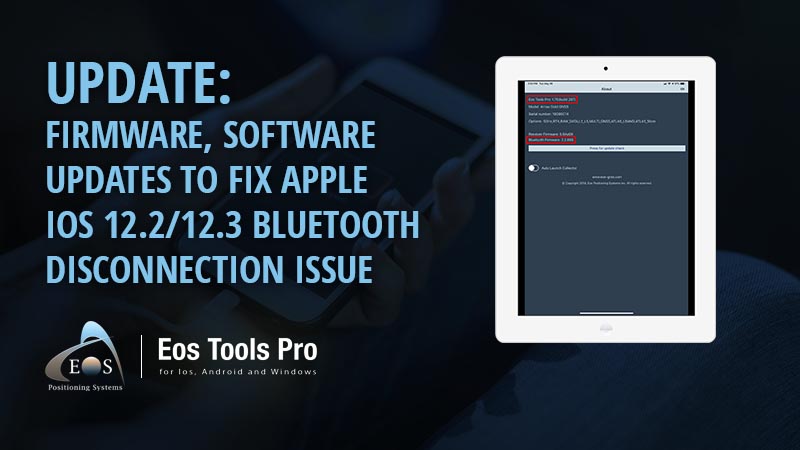
Update: Bluetooth Disconnection Issue on iOS® 12.2
Eos has released a permanent patch for affected customers. Follow these steps to update to the latest firmware and software.
Learn how …

How to Set Up Your Arrow Gold as a Base Station
To set up your Arrow Gold as a base station, and broadcast your own corrections instead of using someone else’s RTK network, you’ll need an Arrow Gold, Windows PC, Eos Utility and a few other items.
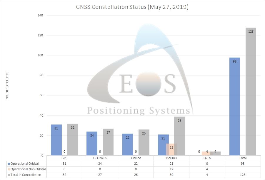
Current GNSS Constellation Status:

VIDEO: Esri ArcGIS Collector: Capture High-Accuracy Data
Esri’s Kevin Burke shows you how to capture GNSS data in ArcGIS Collector, including visual demonstrations with Arrow GNSS receivers.
Watch the video …
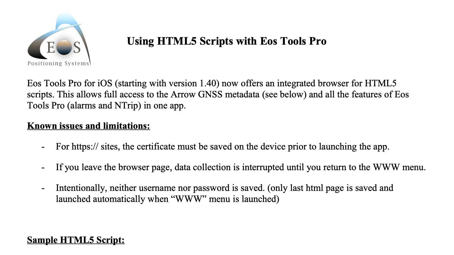
PDF: Using HTML5 Scripts with Eos Tools Pro
This month’s PDF accompanies our Al’s Corner article. Save it when you want to consume Arrow GNSS metadata in your HTML5 app.
Download the PDF …

