
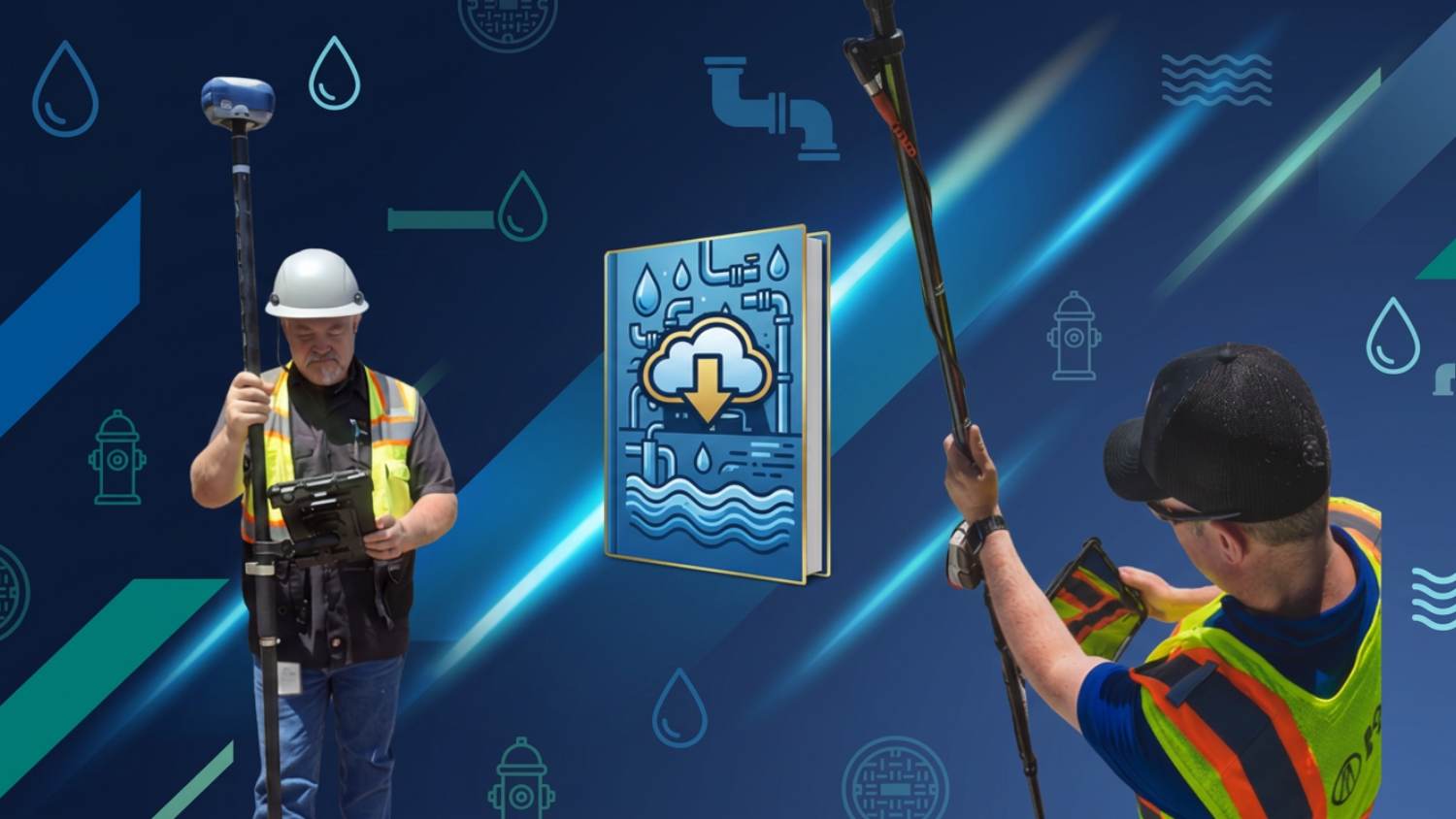
Closing the Accuracy Gap in Water & Wastewater GIS
Across the water and wastewater industry, organizations are transforming the way they manage their infrastructure by adopting high-accuracy GNSS. From rural utility districts to large municipal water and wastewater departments, our customers rely on our receivers to stream precise asset locations, improve system maps/GIS, and streamline daily field workflows. Whether documenting new installations, locating aging valves and hydrants, or supporting regulatory reporting, high-accuracy GPS has become an essential tool for modern utility management.
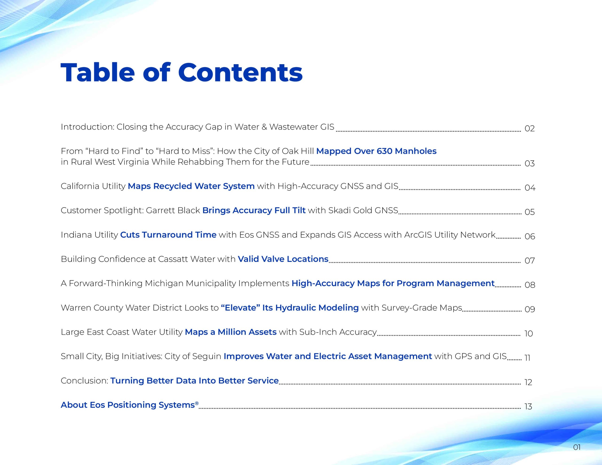
This ebook highlights how water and wastewater professionals use Eos Positioning Systems’ GNSS technology to build smarter networks, reduce field time, strengthen data integrity, and ultimately deliver more reliable service to their communities.



Turning Better Data Into Better Service
At utilities big and small, water and wastewater teams are proving what’s possible when high‑accuracy GNSS and modern GIS come together. Whether finding buried valves in minutes, streamlining inspections, reducing I&I, or building future‑ready utility networks, each story in this ebook shows the same theme: better data leads to better service.
Now it’s your turn.
If your utility is ready to strengthen asset accuracy, improve field efficiency, and build a more resilient system for the years ahead, we’d love to help you get started. Explore what high‑accuracy GNSS can do for your team — and unlock the next chapter in your utility’s success.