Support for GEOID Models in Eos Tools Pro
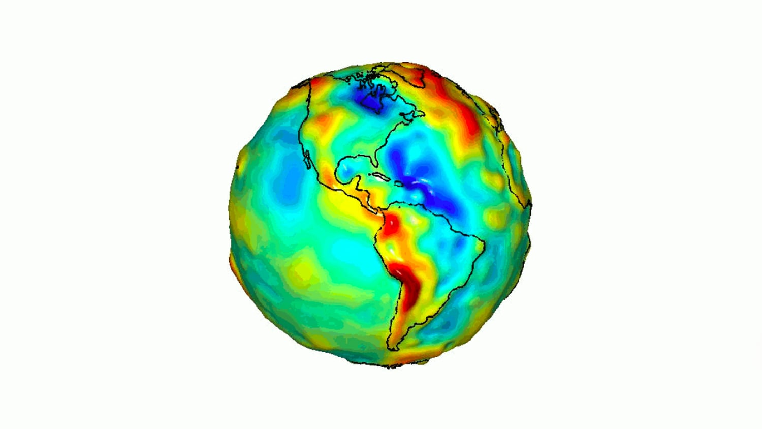
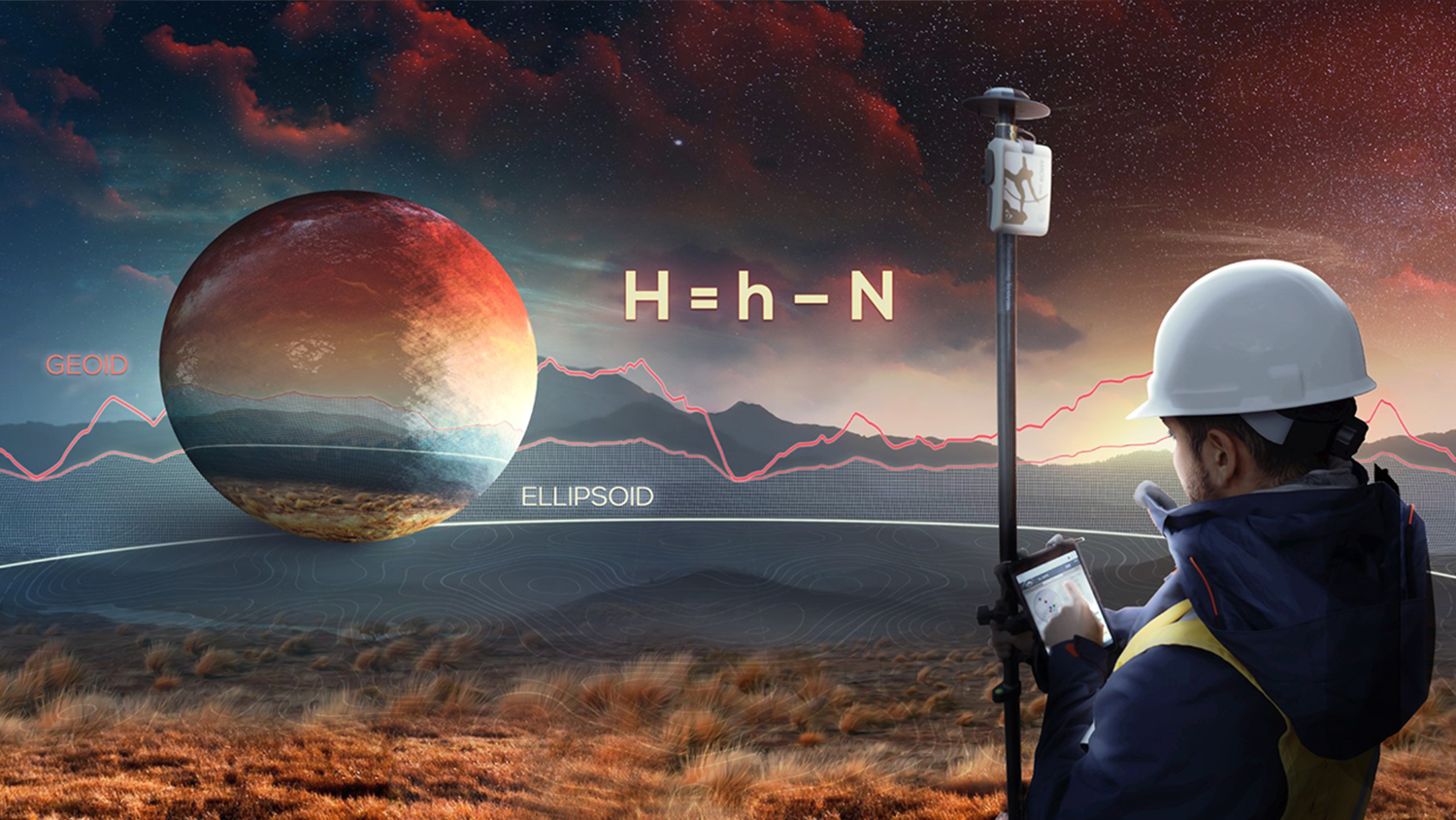
Users of Eos Positioning Systems’s GNSS receivers may take advantage of free, survey-grade real-time orthometric height conversions in the field. Eos GNSS receivers work in conjunction with the Eos Tools Pro app to output accurate GNSS elevations into any third-party data-collection app (e.g., ArcGIS Field Maps). Eos also offers a free Python script to help configure orthometric heights in Esri apps. All orthometric heights are based on localized GEOID models and GEOID height conversions. If you have any questions on getting started or would like to request your country’s GEOID model to be added to Eos Tools Pro, please don’t hesitate to contact our team.

Key Benefits of Orthometric Heights
Increase Accuracy and Efficiency
Real-time Geoid Height eliminates time-consuming post processing.
Keep Crews Safer
Field crews stay more productive with high-accuracy Z coordinates.
Elevation You Can Use
Turns any smartphone or tablet into a 3D, survey-grade data collection device.
Who is this Solution for?

Any Eos GNSS customers who would like to acquire survey-grade elevation values are able to take advantage of the GEOID height conversion capability within Eos Tools Pro. Please note it is strongly recommended to use an RTK-enabled GNSS receiver if elevation values are important to your work. A list of currently supported GEOID models, organized by country, is available within the orthometric height settings of Eos Tools Pro. If you do not see your country listed, it means it has not yet been requested and/or is currently being worked on. Please let us know if you would like us to add support for your country. Additional geoid models for other countries are planned in the future, but it is always a good idea to reach out to our team so we have an idea of which countries we should prioritize next.
What Hardware and Software is Required for Our Orthometric Height Solution?
Orthometric heights are a free solution from Eos Positioning Systems. Using this solution requires you have an Eos GNSS receiver, compatible smartphone or tablet, and the free Eos Tools Pro mobile application.
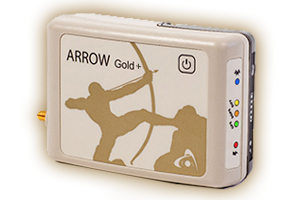
Eos RKT GNSS Receiver
You will need an RTK-enabled Skadi Series™ or Arrow Series® GNSS receiver from Eos Positioning Systems.
Eos Tools Pro
Orthometric height conversions are handled in real time by Eos Tools Pro. Download the free app on iOS®, Android™, or Windows®.
Smartphone or Tablet
Most modern commercial off-the-shelf smartphones and tablets support this free solution. If you're purchasing new mobile devices, our team is happy to provide recommendations that work well for our customers.
Featured Case Studies Using High-Accuracy Elevations
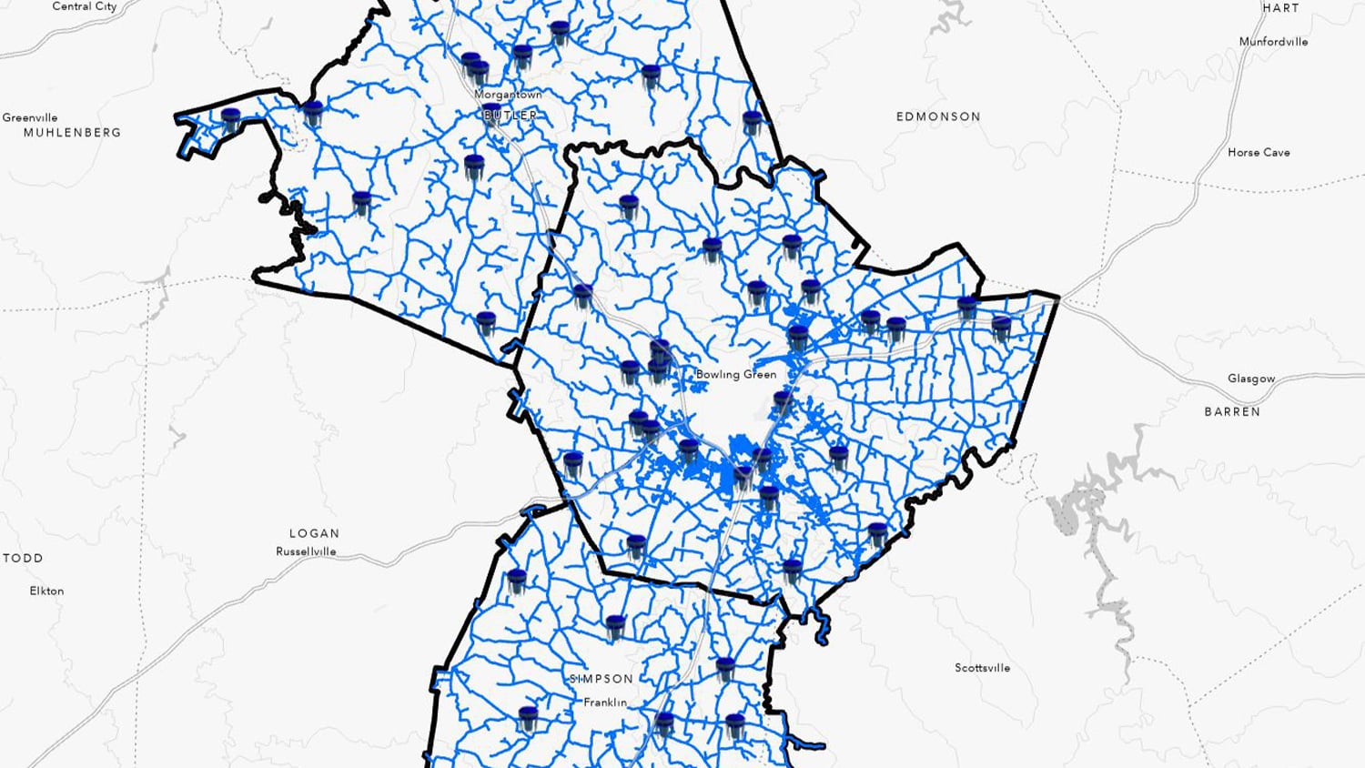
Warren County Water District Looks to “Elevate” Its Hydraulic Modeling with Survey-Grade Maps
Warren Water mapped wastewater assets with centimeter-level accuracy to help engineers with hydraulic modeling.
More Info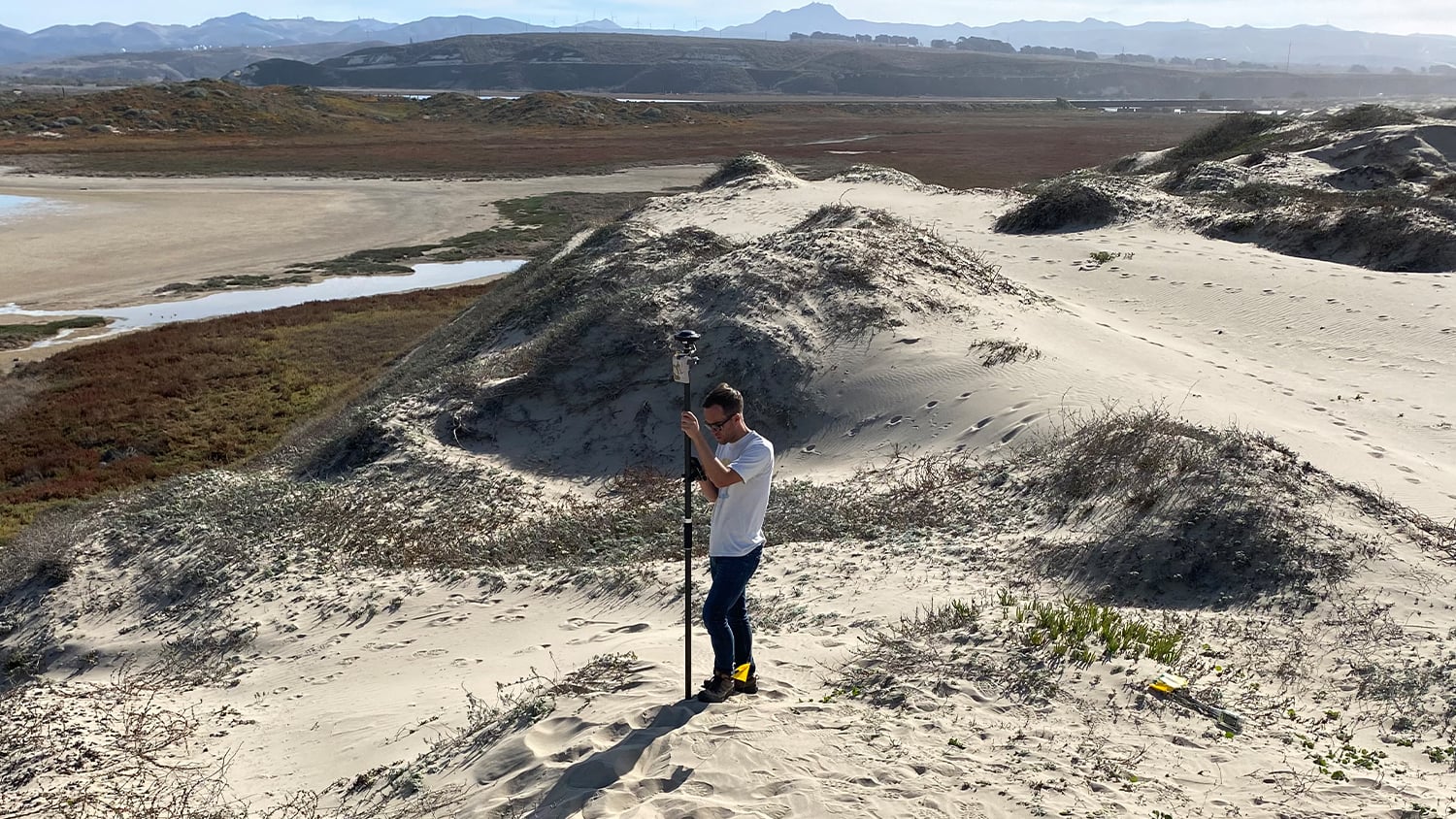
Beyond the Tide: Tracking California’s Coastal Change with High-Accuracy Maps
To enable more accurate predictions about sea level rise, Dr. Kyle Emery is piloting a drone, GNSS, GIS, and satellite imagery workflow.
More InfoWhat Customers Say about High-Accuracy Elevations
Related Hardware and Software for Eos Orthometric Heights





Recommended Resources for Eos Orthometric Heights
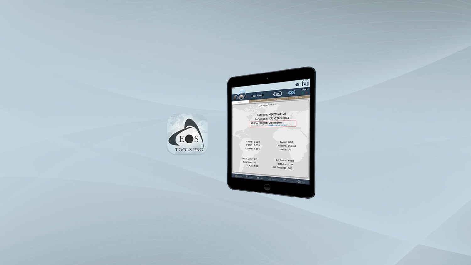
Video Tutorial: How to Configure Orthometric Height in Eos Tools Pro
Eos Python Script: Download GNSS Metadata Fields