
Preparing Your GIS for the Utility Network Starts with Accuracy
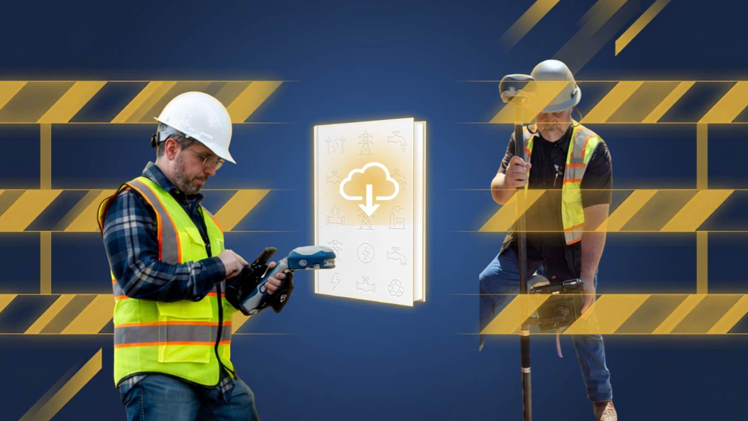
As utilities prepare to migrate to and adopt the ArcGIS® Utility Network, the quality of their GIS data has never been more important. Accurate asset locations, clean connectivity, and reliable attribute data form the foundation of every successful Utility Network implementation — and high‑accuracy GNSS is helping organizations get there faster, safer, and more efficiently.
Across water, wastewater, stormwater, electric, gas, and telecommunications systems, utilities are using survey‑grade GNSS to correct legacy maps, streamline as‑built collection, and capture field updates in real time. The result is a modern, trustworthy GIS that supports advanced modeling, operational awareness, and the long‑term digital transformation that the Utility Network enables.
This ebook highlights real‑world case studies from utilities of all sizes that prepared their GIS for the Utility Network by embracing high‑accuracy GNSS. Their experiences offer practical workflows, lessons learned, and a clear roadmap for utilities ready to begin their own migration.
Here’s how they took the first step …



Building a True Digital Twin, Ready for the Utility Network
Across the utility sector, one truth continues to surface: When teams can’t trust the data on their maps, field work slows down — and costs go up. Inaccurate legacy records, outdated paper drawings, and missing field updates create a cycle of rework that affects everything from design to construction to customer service. The result isn’t a digital twin at all. It’s a digital mutant.
But the digital twin is possible. Every case study in this ebook shows that a clear path forward. Utilities that embrace high‑accuracy GNSS, modern mobile GIS workflows, and strong quality‑control processes are breaking that cycle. They’re replacing guesswork with confidence, reducing field visits, improving safety, and preparing their systems for the future, including the ArcGIS® Utility Network and 3D GIS.
Building a true digital twin starts with one commitment: collect better data. When utilities pair accurate locations with modern workflows, their entire organization benefits — from field crews and engineers to customer service and leadership. Your GIS becomes the system of record your utility depends on.
Your data can become trusted.
Your digital twin can become real.
Begin your Utility Network journey where it matters most: Give your crews accurate data they can trust.
Ready to get started? Take the first step by contacting Eos Positioning Systems.