The partnership between Eos and Futura will mean utilities now have access to a staking solution that is both affordable and accurate
MONTREAL, CAN. — Eos Positioning Systems®, Inc. (Eos), the leading global manufacturer of affordable high-accuracy GNSS receivers for the BYOD market, announced today its partnership with enterprise GIS solutions provider Futura Systems, Inc.
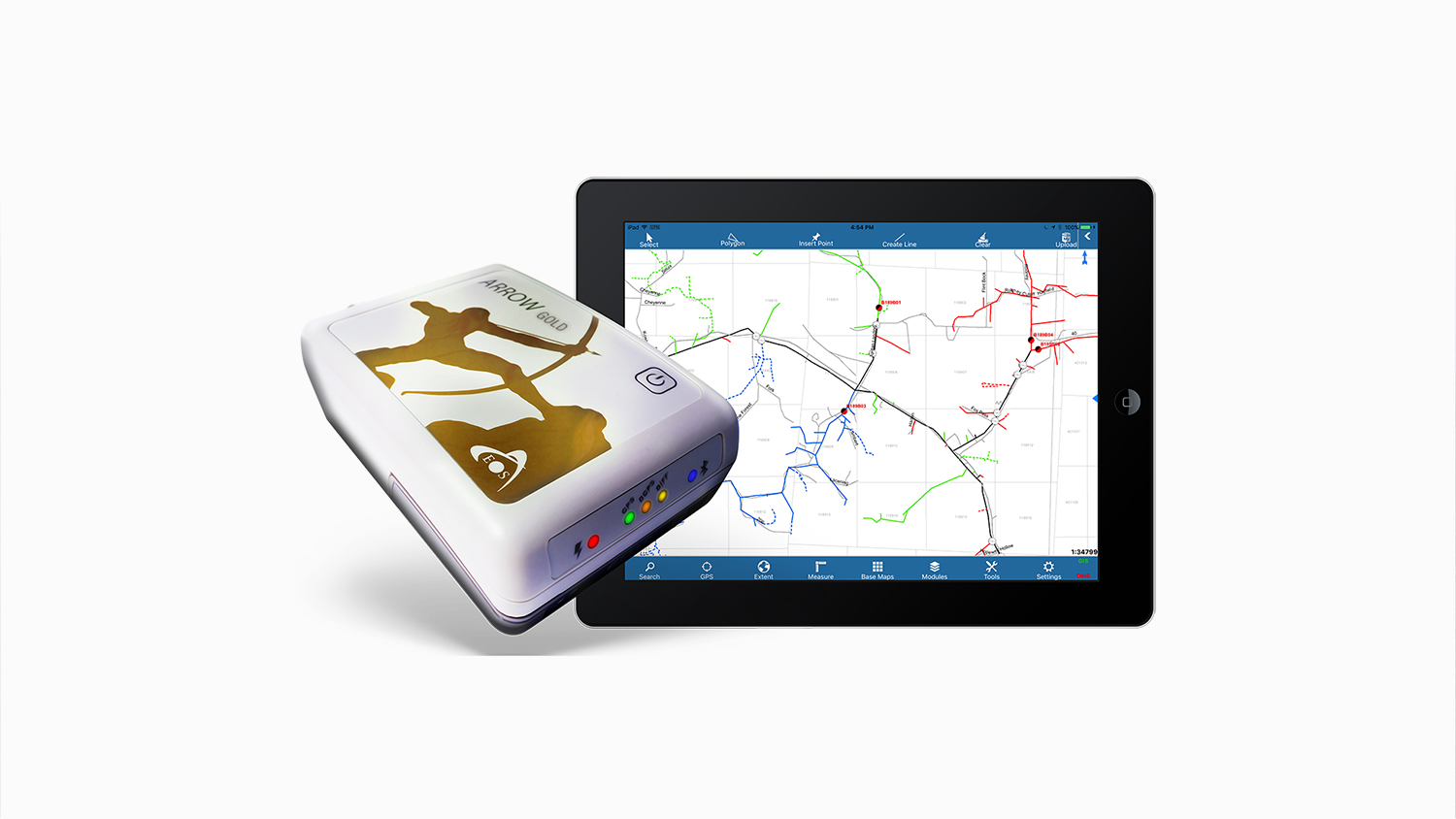
“FieldPro Stake on iPad® provides designer engineers with the tools they need to draw up a job in the field,” Futura CIO Doug Malinowski said. “And when combined with Eos Arrow Series®, they can easily do it with high spatial accuracy.”
Futura FieldPro Stake is Futura’s iOS® mobile app for designing projects easily in the field. The app transforms any iPad into a powerful staking device, enabling field crews to simply and easily design in the field, with all the details they need at their fingertips. All the collection can be done directly in the field.
“When you start to put high-accuracy location into powerful utility mobile apps, the possibilities are endless.”
— Jean-Yves Lauture, President and CTO, Eos
The Eos Arrow is a high-accuracy GNSS receiver that provides submeter and centimeter location to iOS devices via Bluetooth®. When combined, Arrow receivers and FieldPro Stake create an affordable and easy-to-use staking solution.
“The customer can use the FieldPro Stake app without having to hire a surveyor,” Eos President and CTO Jean-Yves Lauture said. “They can do it themselves easily, and now they have access to high-accuracy location data directly within FieldPro Stake from the Arrow.”
Lauture and Malinowski worked closely to ensure FieldPro Stake displays and records high-accuracy GNSS metadata, such as estimated accuracies and location quality indicator, intuitively within the app interface. This allows field crews to make fast and accurate decisions in the field, thus preventing errors and saving time and money.
Eos and Futura have already expanded the use of Arrow GNSS receivers with other Futura mobile apps.
“This kind of solution is already being applied to damage assessment and inspections,” Lauture said. “When you start to put high-accuracy location into powerful utility mobile apps, the possibilities are endless.”
About Futura Systems, Inc.
Futura Systems provides enterprise GIS solutions to hundreds of distribution utilities across the United States. Through their utility-centric approach, Futura provides real-time integration with all major utility CIS and Accounting software providers. As an Esri Gold Business Partner, Futura excels at employing the ArcGIS foundation to develop mapping, field inspection, staking and outage management tools that deliver powerful, user-friendly functionality. Their suite of applications seamlessly extends the level of collaboration between GIS and CIS through Catalyst, an operations and management analytics tool that provides intuitive, single-screen access to critical operational intelligence, empowering them to make informed decisions that improves their overall service to their consumers. Learn more about Futura here.
About Eos Positioning Systems, Inc.
Eos Positioning Systems®, Inc. (Eos) designs and manufactures the world’s premier, high-accuracy GPS / GNSS receivers for the Bring Your Own Device (BYOD) market. The Arrow Series® receivers feed submeter, subfoot and centimeter RTK GPS / GNSS location data to any iOS, Android, Windows, and Windows Mobile device. Free Eos software utilities, such as Eos Tools Pro, were designed to provide users with the smoothest experience of integrating high-accuracy location data and metadata into their mobile workflows.