
Why doesn’t your GPS data line up with your GIS? This is a question we get a lot at Eos Positioning Systems. The trick lies in the kinds of technology. As GNSS receivers become more accurate, more affordable, and easier to use with your smartphone and tablet computer — they are going to challenge the accuracy of your GIS database. How many times have you combined GNSS data with other GIS data only to see that it doesn’t line up?
In the May 2017 Eos newsletter, we address this question directly. Learn why your GPS and GIS may be giving you different figures — and what to do about it — in the feature article from the May 2017 Eos newsletter.
Al’s Corner – Technical Tips
 Hi… My name is Alvaro and I am the Technical Support Manager at Eos Positioning Systems. I am inviting you to visit our Learning Center on our web site for useful technical information, how-to’s and video tutorials. This section will be updated regularly with new material. Any question? please do not hesitate to contact our technical support center.
– Two months ago, we started rolling out the new Galileo firmware for our Arrow 100 receivers. Galileo firmware for Arrow 200 and Arrow Gold are now available. I am inviting you to update your Arrow GNSS receiver’s firmware to take advantage of the new features. Please fill out the support contact form specifying your Arrow model(s) with at least one serial number for each model to receive the proper firmware update instructions and files. (Please note that for RTK applications, if the RTK network or base station you are using does not yet support Galileo and BeiDou, it’s time you “scream” ).
– We have released new versions of Eos Tools Pro for iOS® (1.64.7) and Android (1.46.25) available on App Store and Google Play respectively. These versions include:
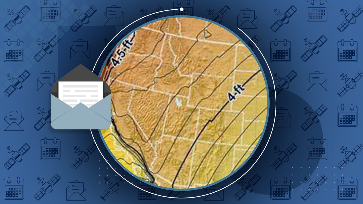
- the Offset feature mentioned in this month’s topic (to help with datum shift issues),
- an Auto-Launch for Esri’s ArcGIS Collector,
- support for Galileo, BeiDou and QZSS constellations,
- minor bug fixes and layout enhancements.
- the iOS version features a new RTK Status menu for diagnostics (it will also be available in the next release of the Android version).
We encourage you to update your apps to the latest releases. The iOS version of Eos Tools Pro will also perform a Bluetooth Firmware update to take advantage of these new features.
Tutorial Video
Pairing Eos Arrow receivers with iOS devices via Bluetooth
How-To
Computing Datum Offset values for Eos Tools Pro
This “how-to” document gives the steps and an example on how to compute datum shift values for Eos Tools Pro.
Eos Latest News from the Eos May 2017 Issue
- Esri Webinar. In case you missed Esri’s last week’s EGUG Webinar (May 24th) here is a link to it. “After recently completing an 8,000 point inventory, Kurt Towler of Sulphur Springs Valley Electric Cooperative (SSVEC) shares some insights on how they successfully planned and executed High Accuracy GPS Data Collection using ArcGIS Collector and Eos Arrow Gold receivers”.
- Two of the last four launched Galileo satellites (November 17, 2016) were set active on May 29: these are PRN 05 & PRN 07. PRN 03 and PRN 04 are still under commissioning. See the Notice Advisory to Galileo Users (NAGU) 2017017 and 2017018. This currently brings the Galileo constellation to 13 usable satellites with 2 more to come, eventually very soon.
- GPSWorld. Interesting article from the “Survey Scene Newsletter” (interesting to both survey and GIS users): Surveyors’ coordinate systems for 2022 and beyond
- GeoConnexion News: The Arrow 100 Boosts Northumbrian Water’s Transferred Drains and Sewers Project (Durham, UK).
- Changes in EGNOS’ GEO satellites. PRN #123 now operational as of March 20th and PRN #136 moves from operational to test platform.
- Arrow 100 and 200 GNSS featured in Fall 2016 issue of Esri Water and Wastewater – “Rural Water District Gains High Accuracy on a Budget” (page 1) and “High-Precision GNSS Data Collection for Mobile GIS Is Here” (page 9).
Upcoming Events
- June 12-14. Eos will be present at the American Water Works Association (AWWA) Annual Conference. Philadelphia, PA, USA.
- July 10-14. Esri User Conference 2017, San Diego, CA, USA. Visit us at booth #1027.