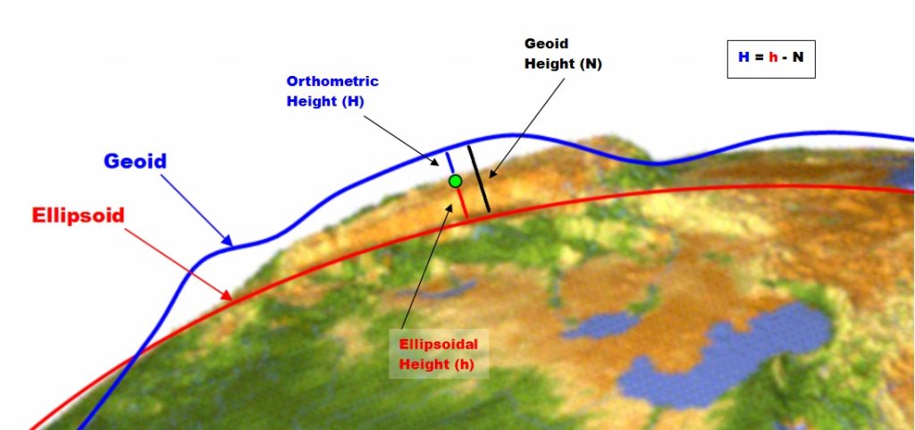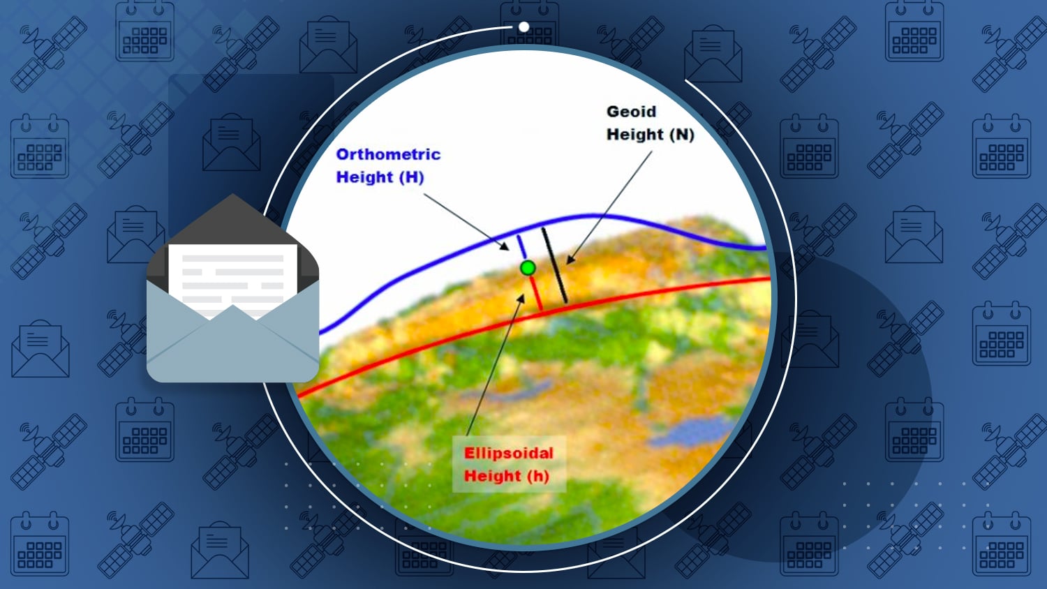
Elevation is the difference between the earth’s surface and a point above or below it. But the earth’s surface isn’t the same everywhere. It’s full of physical features, like mountains and valleys. So how can we measure elevation? Explore how in the latest Learning Center article from the Eos January 2018 issue.
Scientists rely on theoretical representations — called “vertical datums” — to represent the earth’s surface. Your GPS receiver captures elevation by referencing the “ellipsoid” datum, which is highly accurate.
So why might your highly accurate GPS receiver elevation seem several meters off? It all has to do the way your GPS is capturing data, and how you must convert this data to be able to use it.
Read about the difference between the ellipsoid, mean sea level (MSL), and geoid in this “Elevation for Beginners” article from the Eos January 2018 Issue.
Eos Latest News from the Eos January 2018 Issue
This “how-to” document shows how to setup Mock Location on your Android device for Eos Tools Pro.Enabling Mock Location on Android for Eos Tools ProVideo TutorialConfiguring Esri ArcGIS Collector on Android for Eos Arrow Receivers
- Esri Water Conference 2018: January 29-13 in San Diego, CA. Visit Eos at booth #9.
- Esri Partner Conference: March 3-5 in Palm Springs, CA. Visit Eos at booth #136.
- New Podcast: How can you use spatial analytics to improve electrical infrastructure? Listen to the second episode of Speaking of GIS — the newest podcast about GIS, and the people who make it happen, from GIS expert, electrical coop supervisor, and all-around well-loved GIS peer Kurt Towler.
- Esri Canada Webinar: Join Eos and Esri on Tuesday, Feb. 13 (1-2pm EST), for the”Mobile Apps in the Collaborative ArcGIS Platform” webinar (en français). Discover how data collection can be made easy, precise and efficient with mobile apps and high-precision Bluetooth GPS/GNSS receivers.
- New Satellite Launched! China launches twin BeiDou-3 navigation Satellites (source GPSWorld)
- Eos Tools Pro v1.66: New version for iOS® released on App Store.
- GNSS Satellite Launch: Here is a chart of Upcoming GNSS Satellite Launches (by Prof. Richard Langley).
- SBAS News: Australasia SBAS Test-bed has been broadcasting test corrections on PRN 122 since June 2017.
Al’s Corner – Technical Tips
Hi… My name is Alvaro and I am the Technical Support Manager at Eos Positioning Systems. I am inviting you to visit our Learning Center on our web site for useful technical information, how-to’s and video tutorials. This section will be updated regularly with new material. Any question? please do not hesitate to contact our technical support center.
- New version of Eos Tools Pro for iOS is available on the App Store. Version 1.66 now features save-able NTrip profiles, enhanced interface for datum shift/offset, automatic re-connection to RTK stream after loss of Internet connectivity.
- Known issues with iOS 11.x
- When you put your iOS device to sleep, the network connectivity is broken. The RTK stream will stop. We recommend you avoid putting your device to sleep.
- There are currently known issues with core location being populated by the Arrow receiver. We have filed reports with Apple and are awaiting a new version after 11.2.5. Our recommendation is to avoid updating your Apple device to iOS 11.x. We will notify you when this is fixed.


