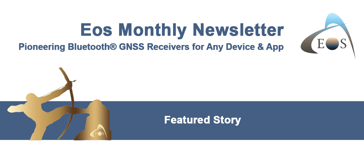
Alaska Utility Pinpoints Water and Sewer Assets on the Last Frontier with Arrow 100 and ArcGIS Collector
Faced with extreme weather conditions and geography, Anchorage Water and Wastewater Utility is adopting a forward-thinking, five-year GIS asset-management plan. The plan was jump-started with a high-accuracy GPS (GNSS) implementation featuring 18 Eos Arrow 100 GNSS receivers along with Esri Portal for ArcGIS® and ArcGIS Collector on iOS®.


Eos Receives 2019 Esri Partner Award
Eos Positioning Systems
The EPC award was given for improving field location within Esri mobile apps.
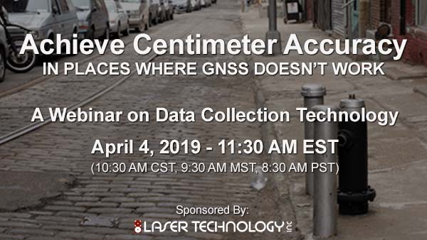
Partner Webinar: LTI Explains LaserGIS®
Laser Technology, Inc.
Join LTI on April 4 for “Achieve Centimeter GNSS in Places Where GNSS Doesn’t Work”, a free webinar.
Register here …
Bringing Mapping & GPS to Small/Rural Water Systems
Esri
Esri Water is teaming up with Eos to bring simple, affordable solutions that help small utilities get started mapping with GPS.
Surveyors and smart cities
GPS World
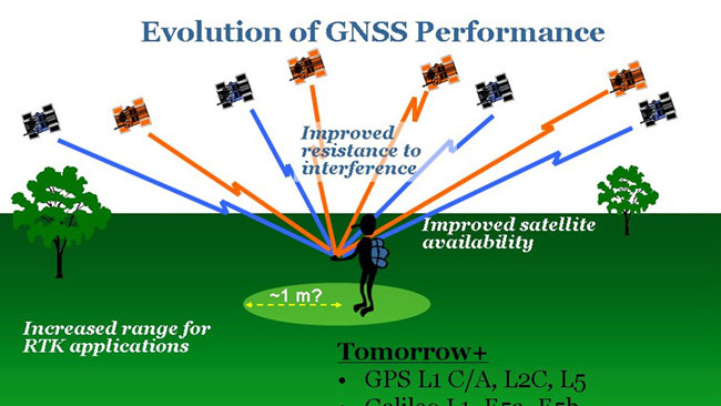
Is smart cities technology and adoption really that important? Tim Burch explores the numbers behind the trend, and what they mean for municipalities and infrastructure.
Arrow 100 for Infrastructure Mapping
Eos Positioning Systems
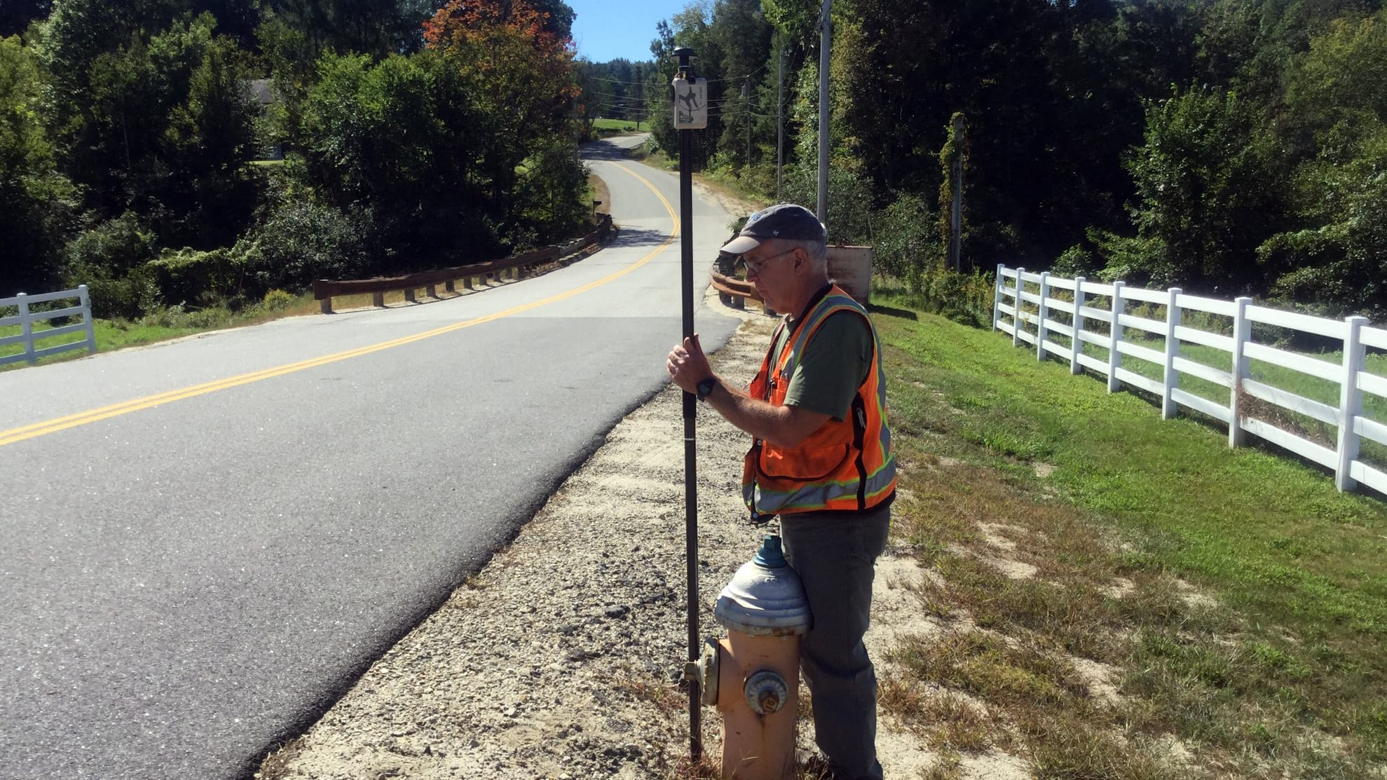
ICYMI: In the spirit of Burch’s exploration of Smart Cities, we’re republishing this story of how a Maine consultancy helps utilities modernize asset management.

Have a question for my Technical Support Team?
Please fill out this form! Someone from my team will respond promptly.
Alvaro’s March Topics:
New Version of Eos Tools Pro Includes Updates for GEOID Support and Battery Monitoring
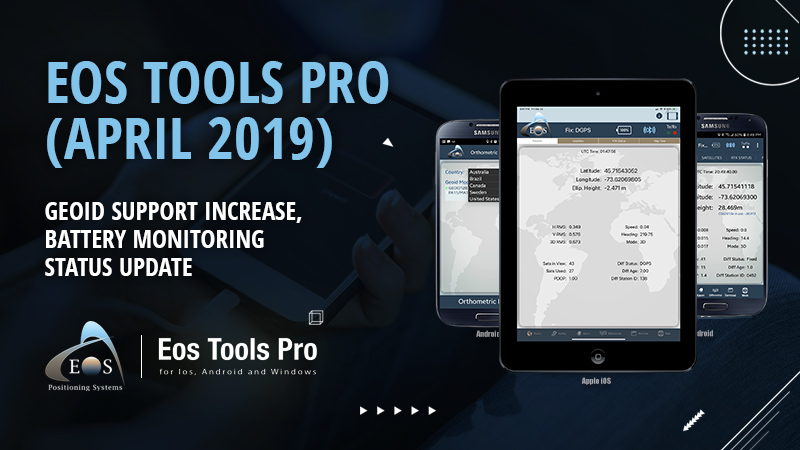
Australia, Brazil and Sweden GEOID models have been added, plus a new in-app battery monitor.
How to Activate the New “Battery Status Monitor” on Android
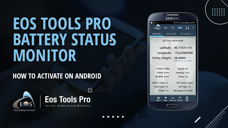
To activate the new Eos Tools Pro “Battery Status Monitor” on Android, borrow an iOS device for a few minutes and follow these steps.
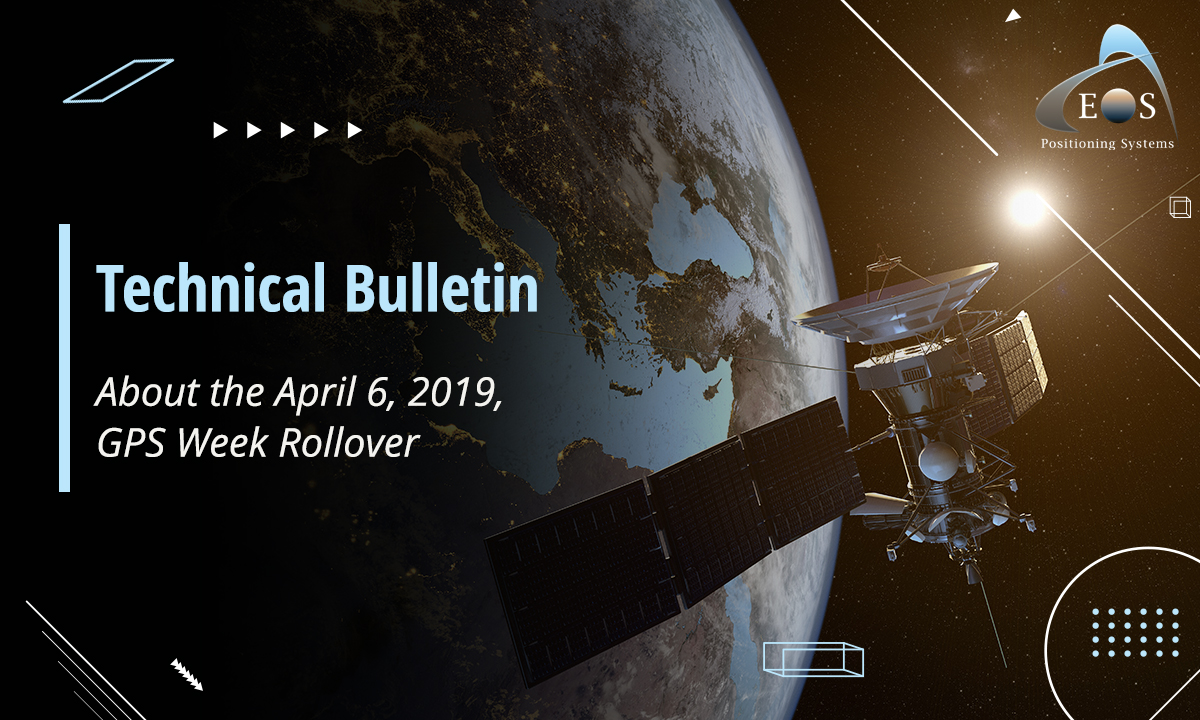
Arrow GNSS Receivers Are Prepared for the April 6 GPS Week Rollover
ICYMI: The April 6 rollover is approaching, and all Arrow GNSS receivers will continue to function normally.
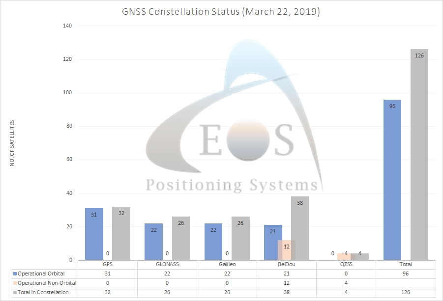
Current GNSS Constellation Status:

VIDEO: How to Record Orthometric Heights in the New Esri Collector (v18.1.0)
We’re repeating this popular video. See how to log real-time orthometric heights in Esri Collector v18.1.0 in this breezy, 4-minute how-to video. Watch now…
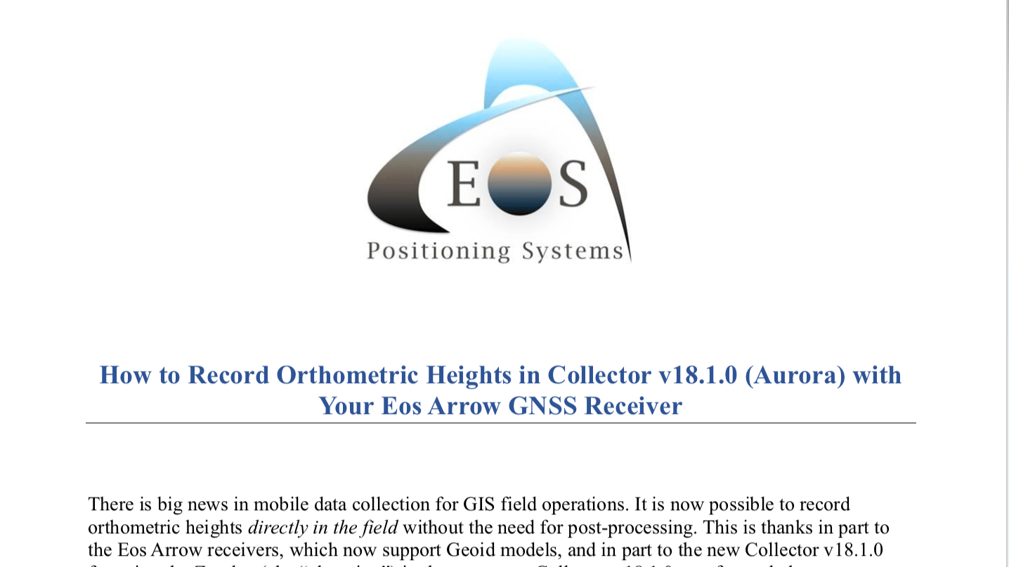
PDF: How to Record Orthometric Heights in the New Esri Collector (v.18.1.0)
Screenshots and simple steps explain real-time orthometric heights collection in Esri Collector. Download the PDF …

CRWA Annual Conference
Lake Tahoe, NV
April 24 (Expo Day)
How to Find Eos + Esri Joint Booth,
Plus Arrow Giveaway Details >>>
