
Introducing: Eos Locate™ for ArcGIS® — Map Underground Assets
Eos Locate™ for ArcGIS® is the world’s first real-time, high-accuracy, underground-mapping solution for utilities using ArcGIS. With Eos Locate™ for ArcGIS®, a field worker can map buried infrastructure (e.g., electric, gas, water, telecom, and more) with submeter or centimeter accuracy — in the push of a button.HERE IS EVERYTHING YOU NEED TO KNOW TO GET STARTED!

Eos Releases Underground Infrastructure Mapping Solution for ArcGIS
Eos Locate™ for ArcGIS® enables utilities to map buried assets with submeter or centimeter accuracy. See how one crew is already using it.
Read the joint press release …
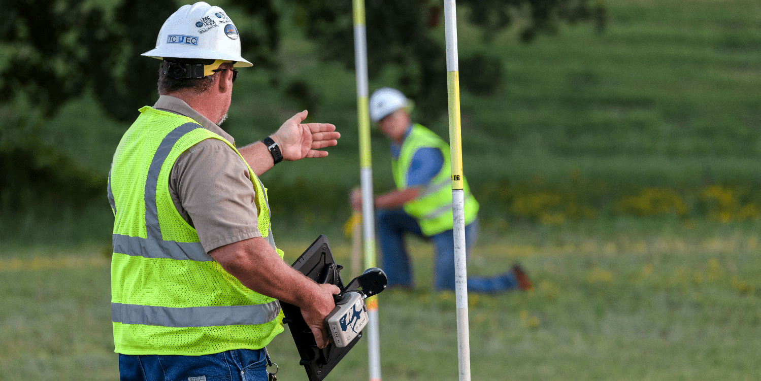
Migrating to Better Customer Service with Futura GIS
TCEC is saving tens of thousands of dollars each month from improvements to field staking, outage management and underground locate workflows.
Read their story …
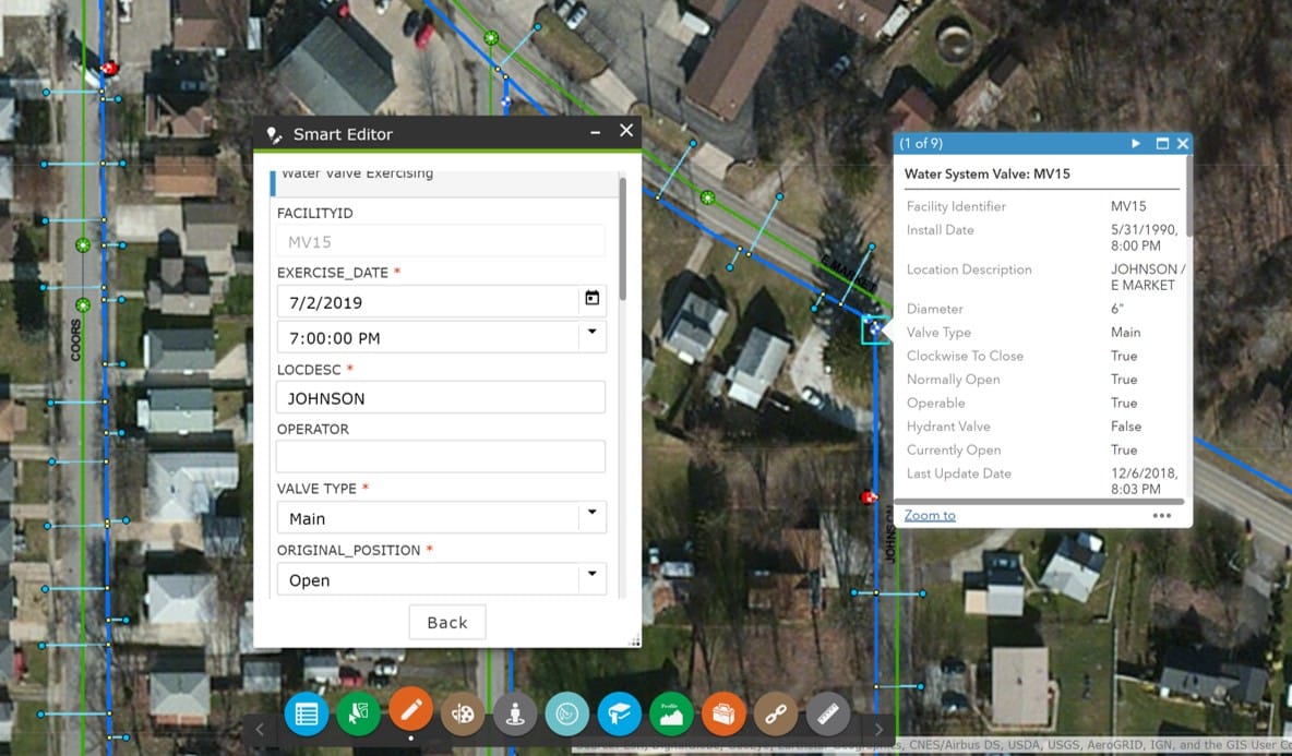
Getting Better Accuracy in Appalachia
In October 2018, Ohio began requiring public water utilities to maintain a detailed asset management system. One nonprofit is simplifying compliance for rural utilities using Arrow and Collector.
Read their story …
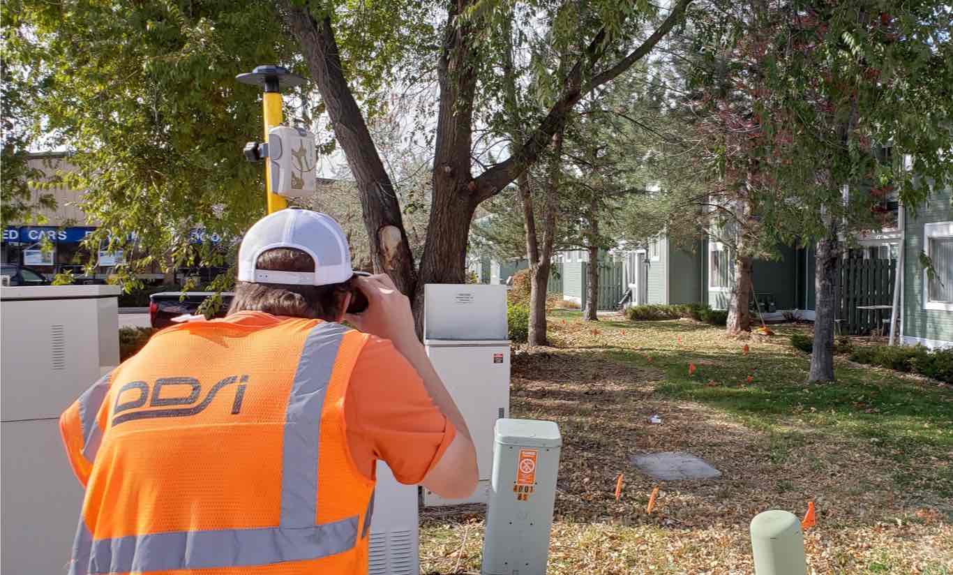
DDSI Increases Profit Margins with Eos Laser Mapping on Collector
DDSI needed a faster way to capture utility locates with subfoot accuracy — especially in places with obstructed GPS. See how laser GIS is making a difference.
Read their story …
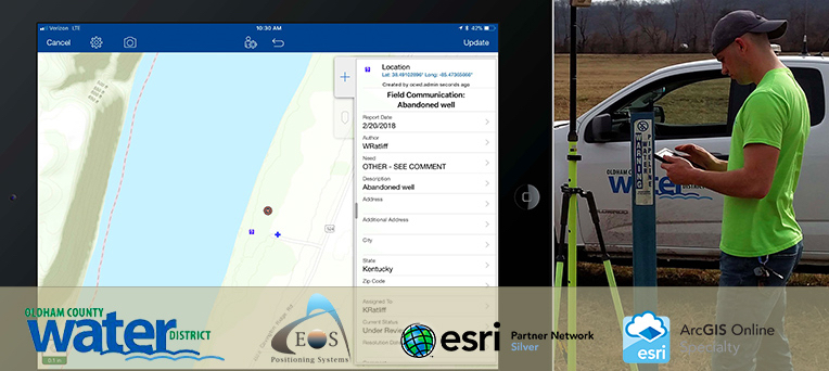
Register for Esri’s Webinar: Supporting Daily Workflows with GIS + GPS
Learn how Esri GIS and Eos GPS support field crews with data collection, creating as-built maps, and more! Join Oldham County Water District presents their work.
Register for the Nov. 14 webinar …
Next-generation EGNOS satellite orbited for GSA
From Tracy Cozzens at GPS World: The EGNOS payload will hone the accuracy of satellite navigation signals over Europe.
Read more about EGNOS …
China’s BeiDou-3 System Might Be Completed Early
From Dave Makichuk: China might complete the global network of its BeiDou Navigation Satellite System by the end of June, the China Daily reported.
What to expect with BeiDou-3 …

Browse technical tips from Eos Technical Support Manager Alvaro
ArcGIS QuickCapture Supports Eos Arrow
Arrow GNSS receivers provide ArcGIS QuickCapture users with submeter/centimeter locations at high rate.
See how organizations like Velo Quebec use Arrow and QuickCapture >>>
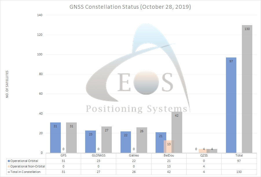
Current GNSS Constellation Status:

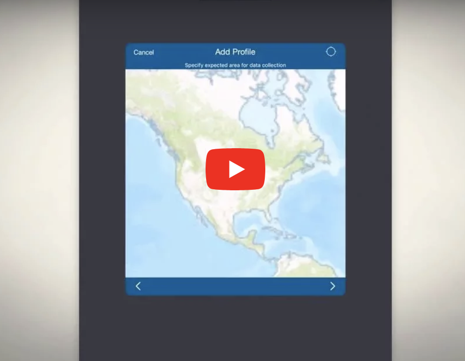
VIDEO: How to Configure ArcGIS Collector on iOS® with Arrow
This video walks you through each how to configure ArcGIS Collector on iPad® and iPhone® with your Arrow GNSS receiver and Eos Tools Pro for iOS.
Get started in 7 minutes …
PDF: Eos Server QuickStart Guide
Eos Server helps you set up your Arrow as a base station. Here’s the manual you need to get started.
Download Eos Server Manual …

Arkansas GIS Symposium
Eureka Springs
October 30 – November 1
Find Eos (Bronze Sponsor!) >>>
Esri Canada UC
… in Halifax, NS
November 5-6
Find Eos, Proud Platinum Sponsor!
GEOMTL 2019 (AGMQ)
… in Montreal, QC
November 13-14
Find Eos on the Floor Plan!

