


Visit Eos Positioning Systems® (Eos) — a 2019 Esri Award-Winning Silver Partner and ArcGIS Online Specialty Partner — at the 2019 Arkansas GIS Symposium. This year’s event will be held at the Best Western Inn of the Ozarks in Eureka Springs, Ark. A member of the Eos team will be exhibiting as a Bronze Sponsor from October 30 to November 1.
Eos is a Canadian company and Esri Silver Business Partner that specializes in simple, affordable, high-accuracy field solutions (GPS / GNSS) for the GIS and mapping community. Eos Arrow Series Bluetooth® GPS (GNSS) receivers fit directly into existing mobile GIS workflows and data-collection apps (e.g., Collector, Survey123, and even your own proprietary application!). Our solutions simply replace lower accuracy native device locations with higher-accuracy (submeter/cm) GNSS locations and metadata. The Arrow Series® GNSS (external Bluetooth® GPS) receivers work with any mobile device and field data-collection app.
Scroll down to learn how to find the Eos team. Ask for a demonstration of submeter and centimeter data-collection with Arrow GNSS!
Find Eos Arrow at the 2019 Arkansas GIS Symposium
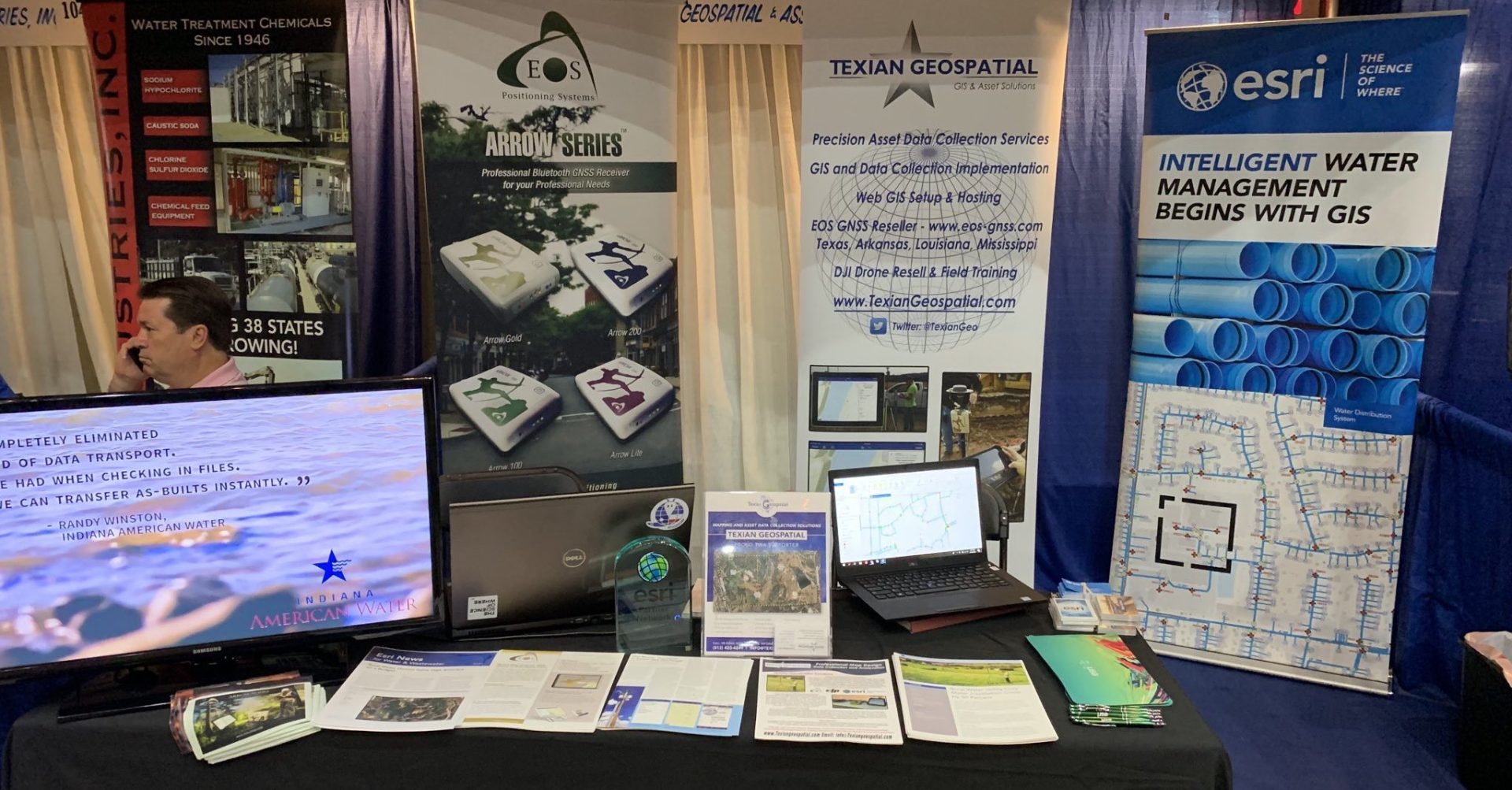
An authorized Eos Arrow representative will be exhibiting in the expo hall at the 2019 Arkansas GIS Symposium. Look for the below booth setup:
Look for this Booth!

Location
Best Western Inn of the Ozarks
207 W Van Buren
Eureka Springs, AR 72632
Session We Recommend
Title: “High Precision Data Collection with ArcGIS Collector”
Presenter: David Pritchard, Texian Geospatial
Time: TBD
Social Media
Website
https://symposium2019sponsors.eventzilla.net/web/event?eventid=2138718311
Featured Case Study: Texas Drone Consultancy Maps Enchanted Rock Using Arrow Gold for Ground Control Points (GCPs)

Raptor Aerial Services in Texas provided a brand-new updated orthophoto mosaic, digital elevation model, and 3D topographic map of Enchanted Rock State Natural Area to be used for education, planning, search and rescue, field research and more
Featured Case Study: City of Gastonia Public Utility Department Looks to the Future of GIS with Arrow 100 for Valve Exercising

Two Rivers Utilities added hundreds of valves to its GIS as part of a new valve-exercising program, intended to reduce service interruptions and modernize valve-tracing on the Esri ArcGIS platform.