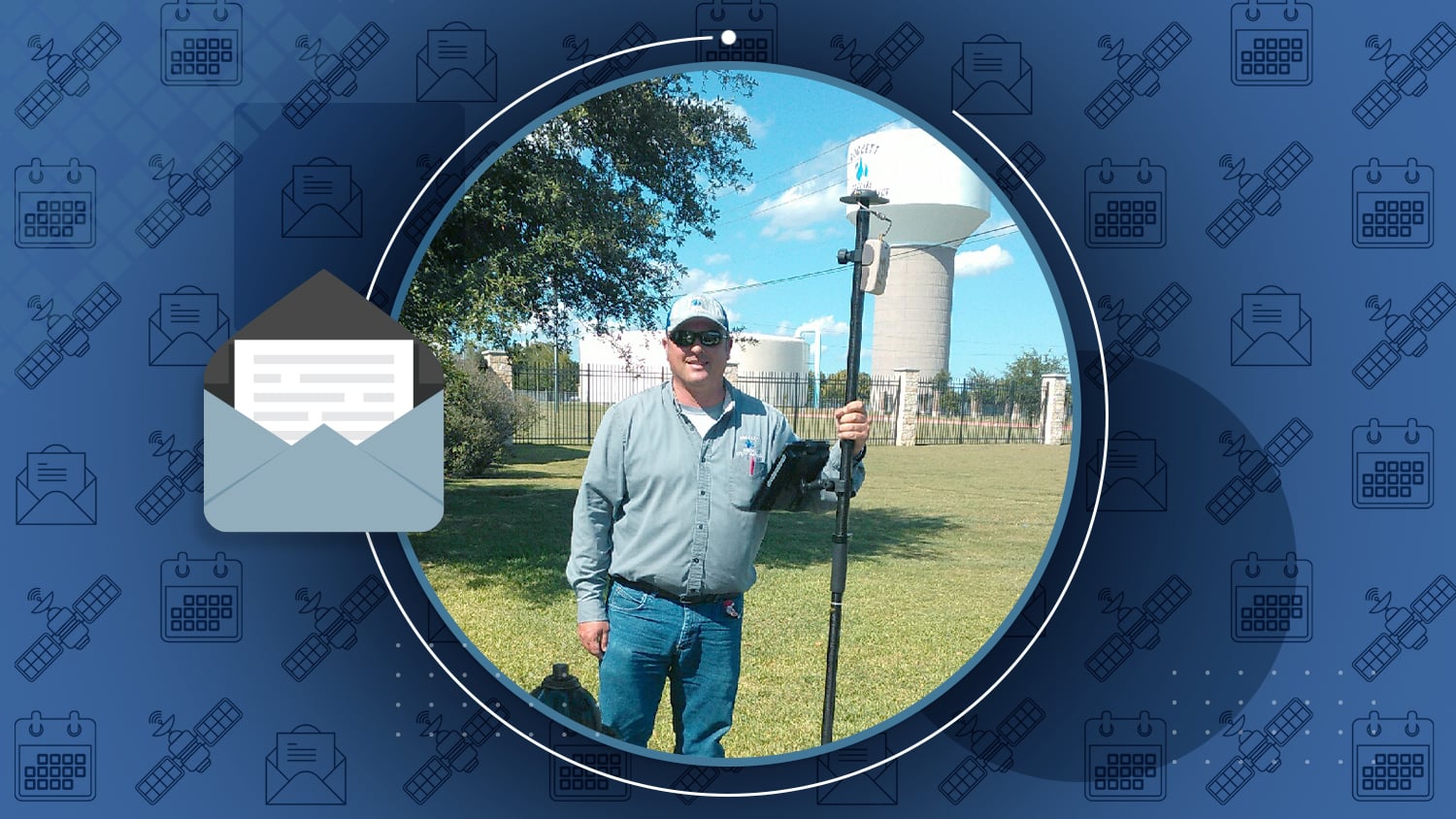

/// Mapping a Rural Water System with High Accuracy

Rockett Special Utility District is a small water utility located near Dallas, Texas. They needed to improve field work efficiency as service demand grew. By implementing an Arrow Gold RTK GNSS base/rover config with ArcGIS Collector on iPad®s, they improved mobile GIS data collection accuracy. Field workers no longer make several calls per day to locate assets, and office staff are free to perform their primary work. Read their story >

/// Eos News

Eos Locate™ for ArcGIS® now Compatible with Subsite® Electronics Products
Eos Locate™ for ArcGIS®, an underground asset-mapping solution, is now immediately compatible with Bluetooth-enabled Subsite UtiliGuard® and UtiliGuard 2 model utility locators, and introduces the ability to use Eos Locate for horizontal directional drilling with the Subsite TK® Recon HDD guidance system. Read the press release >

Eos wins TECTERRA’s 2020 Award for “Most Disruptive Technology”
Eos is extremely honored and humbled to be recognized for its contributions to geospatial technology. Watch the winner announcement video to learn about amazing individuals and companies, and look for Eos around minute 2:35.
Learn about the award and fellow 2020 winners >

OHM Advisors deploys Eos Locate™ at Oakland County, Michigan
ICYMI: The 25th annual MiCAMP conference happened virtually this past month (view sessions in this ArcGIS StoryMap). Michael Cousins of OHM Advisors presented how his team mapped underground utilities (electric, gas, water, steam, CCTV and much more) with Eos Locate™. Watch his session directly here.
Or browse all sessions and make a pit stop at “GNSS GPS” >
/// GNSS and GIS Industry News from around the Web
ASECNA, Thales provide African early SBAS open service
by Tracy Cozzens, GPS World
“Service opens a new era of satellite navigation performance augmentation in the Africa and Indian Ocean Region”. Read more >
GPS Block III: a new generation of GPS satellites now included in the EGNOS solution
from the EGSA
“Advances in technology and user demands have led to the modernization of the GPS constellation with the new capability-improved GPS Block III satellites.” Read more >
GNSS: China to lose access to Australia tracking station
by Tracy Cozzens, GPS World
“China will lose access to a strategic space tracking station in Western Australia when its contract expires [which] could affect BeiDou constellation service in the Pacific region”. Read more >
GNSS: SpaceX’s GPS contract modified to allow reuse of Falcon 9 boosters
by Sandra Erwin, SpaceNews
“A SpaceX Falcon 9 rocket for the first time next year will launch a military GPS satellite with a previously flown main booster, the U.S. Space Force announced Sept. 25.” Read more >

/// Eos Support Manager Alvaro Paez provides technical updates
| ICYMI: Eos Tools Pro now features a built-in TCP Server to allow multiple apps to access your Arrow GNSS location data concurrently. For instance, you can now run ArcGIS Collector (or Field Maps), Survey123, QuickCapture, all at the same time on the same iOS® or Android device. |
What comes in the box when you purchase an Arrow 100 submeter GNSS receiver?
Watch our brand-new unboxing video >
/// GNSS Constellation Status Update: Sep 24, 2020


/// Jim Casey combines GIS with philanthropy

With over a decade of GIS experience, Jim Casey uses the power of geospatial technology to advance his philanthropic work. We met Jim through his passion project, mapping Colorado’s Amache Internment Camp.
Read about Jim’s latest work with drones and more! >


URISA’s GIS Pro
September 29 – October 1
Attend our live lunch and learn about GNSS/GPS, drones and mobile GIS on Tuesday, September 29 (session details here). And/or attend our indoor/outdoor high-accuracy data collection demonstration (Arrow RTK GNSS, ArcGIS Collector) with a live Q&A on Wednesday, September 30 (demo details here).
*You must be registered for GIS-Pro to attend these sessions.

GIS Week (Gas Technology Institute)
October 6-7
Join Eos staff live on either Tuesday or Wednesday. First, there is a one-hour Expo Hour slot on each day (check agenda for time) where you can ask our team anything (just click “Enter Virtual Trade Show Booth” from our sponsor listing page during the designated time). You will also be able to hear from Eos CTO Jean-Yves Lauture and GTI staff live on Tuesday (during the “Sponsor Showcase”), Wednesday (during the “Birds of a Feather” GNSS session), and again Wednesday during the live session “Eos Positioning Systems High-accuracy GNSS Product Update and Select Gas Case Studies.”
*You must be registered for GIS Week to access these sessions.
High-Accuracy GPS 101: How to Design Your Mobile GIS Data Collection System
October 8
Join Eos and Directions Magazine for this free webinar. You will learn best practices for field operations from high-accuracy data-collection and GIS users. Zachary Petix of Palmetto Engineering will discuss how his team collected survey-grade data in the Arizona desert during a historic heat wave, and William Rockwell from the City of Sarasota will describe how his team created a “grandma-proof” data-collection system to keep non-GIS/IT employees busy collecting accurate data during COVID-19. There will be time for a panel Q&A.
*Register soon for this upcoming webinar.
Texas Society of Professional Surveyors
October 8-10
Denton, Texas (physical event)
Join us in person in Denton, Texas, at the Embassy Suites by Hilton Denton Convention Center (Level 1 – Universities Grand Ballroom). Our Arrow GNSS expert will be in the Eos booth from Oct 8-10.
*This event requires registration and physical attendance.

Esri France SIG
October 12
Chat live with our representative in French.
* You must be registered to access chat; SIG registration is free.

INTERGEO
October 13-15
Check the agenda to find our live session in German and visit our virtual listing page to set up a personalized time to speak with our team in English, German, or French.
*You must be registered to attend; contact Eos to request a free INTERGEO registration voucher (while quantity lasts).

OZRI (Esri Australia)
October 15
Visit our virtual kiosk from 8:30am-5pm AEDT to chat live with our GNSS experts. Attend our session with Australian Cultural Heritage Management’s Dr. Shaun Canning and 4D Global and participate in the live session Q&A. Attendees who visit our virtual listing page and talk with a representative will also be entered to win one of several free pizzas, delivered directly and safely to your door!
*You must be registered to attend; Ozri 2020 registration is free.

“Mapping Made Easy with GIS and GPS”
October 20
Join Eos and Esri Water for a free virtual, high-accuracy data-collection training workshop. During this 2.5-hour workshop, you will hear from a customer about their recent mobile GIS transformation, get an overview of the Esri Platform and of Arrow GNSS receivers’ compatibility with ArcGIS Apps, view in a live outdoor high-accuracy data collection demonstration (Arrow Gold RTK GNSS, ArcGIS Collector), get an overview of ArcGIS Field Maps, and have a chance to ask the full panel questions.
*Registration is free, but space is limited. Save your spot in the workshop today.
Esri IMGIS
October 27-30
Join Eos at the first-ever Esri Infrastructure Management and GIS virtual event. Watch our live “Ask me anything!” style session with high-accuracy mobile GIS experts. Registration is required to attend but free to eligible Esri users.