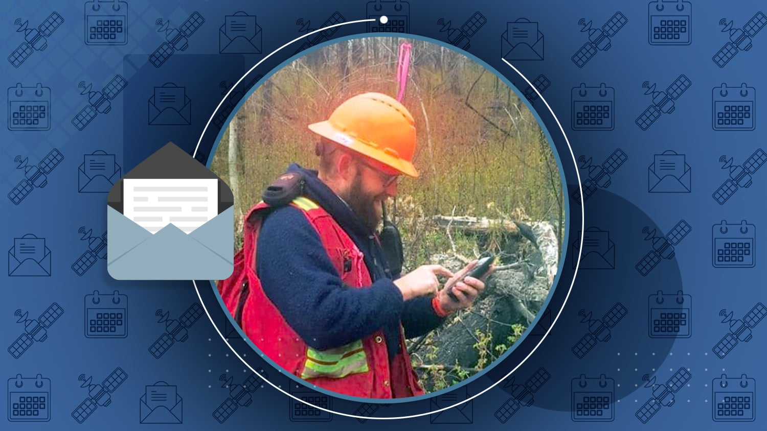
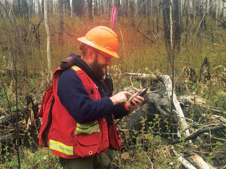
In the dense woods of Northern Canada, obtaining accurate location data under tree canopy proved to be a challenge. By upgrading to Eos Arrow 100 GNSS receivers and Esri’s ArcGIS Collector, Tolko Industries easily obtained high-accuracy data in remote areas!

Please take our short survey!
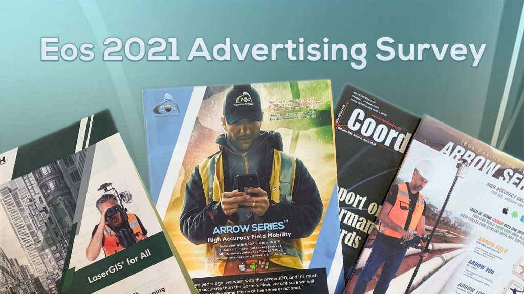
10-question survey helps Eos
In our first newsletter of the year, we’d like to renew our best wishes to you for 2021. We also come to you with a request for help: Would you please take a moment to fill out a brief survey about your experience with advertising? Your answers will help Eos better streamline our 2021 ads.
Please help us by answering a few questions >
Introducing NEW Arrow Bundles
Update for the Eos-Esri partnership
ICYMI: Eos is now pleased to offer our U.S. customers Arrow GNSS hardware bundles with Esri ArcGIS software in flexible combinations. Purchase everything you need for high-accuracy mobile work in one place.
Learn about the Arrow Bundles >
GNSS Receiver Trends for 2021
By Matteo Lucio, GPS World
This month, GPS World asked leading GNSS manufacturers to look ahead two years for industry predictions. Here is what our CTO Jean-Yves Lauture had to say.
Read our CTO’s predictions for GNSS >
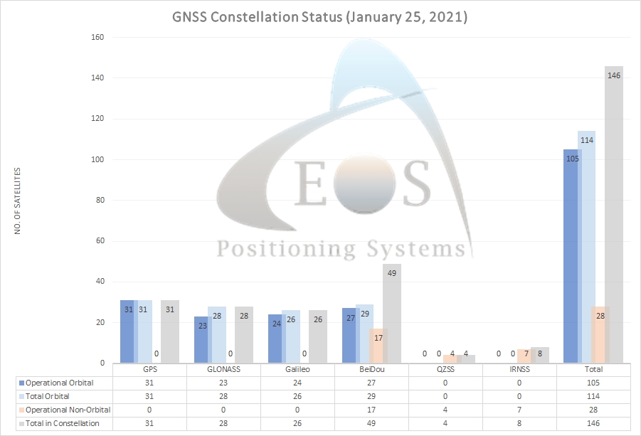
Commission awards €1.47 bn in contracts to launch the 2nd Generation of Galileo Satellites
EU update on Galileo GNSS
On Jan. 20, the European Commission awarded two contracts for 12 total new next-gen Galileo GNSS satellites, estimated to start reaching orbit in 2024.
Learn more about the next-gen Galileo satellites >


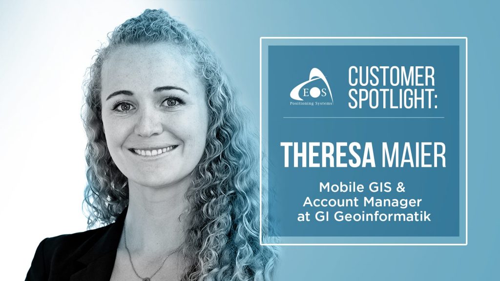
Theresa Maier Shares “GPS for GIS” Best Practices
Theresa Maier of Esri Deutschland partner GI Geoinformatik, based in Germany, shares the endless opportunities of GPS for GIS users. She values making her clients successful.
Get to know Theresa Maier >
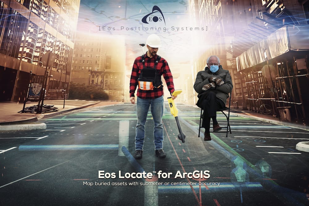
SPOTTED: Bernie wondering if something new is coming for Eos Locate™ …
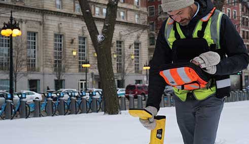
Check back soon for exciting updates about our popular underground-mapping solution, Eos Locate™ for ArcGIS® Apps (Collector, Field Maps)!
While you’re waiting: Learn more about Eos Locate >

ECO-Impact 2021
Thursday, January 28 from 7am-3pm PST
- Registration: Price varies (click here)
Join an Eos representative at this virtual event that brings together likeminded Canadian environmental professionals. Login the day of, visit our virtual booth, and chat with our representative in a chat room or a virtual conference room.
High Accuracy GNSS w/ Esri Mobile Apps
Tuesday, February 9 at 12-1pm EST
- Registration: None (join day-of via this link)
Eos and VAMLIS have teamed up to provide a free, educational webinar. First, we’ll show you a live outdoor data-collection demonstration (Arrow Gold GNSS, ArcGIS Collector). Then, join us inside to configure a web map for GNSS use. No reservation required. Save the date and join the day of.
Save the date and join here on Feb. 9 >
North Carolina GIS Conference
Friday, February 19 at 10-10:30am EST
- Registration: Must be registered for conference ($25)
Join Eos for a 30-min. vendor presentation about high-accuracy data collection at the NC GIS Conference. Our local representative will be available to take questions during the event. Must be registered.
Save the date and register here >
Esri Federal GIS Conference
Mon.-Wed., February 22-24
- Registration: Must be registered for conference ($100)
Join Eos at the first-ever *virtual* Esri Federal GIS Conference. Drop your business card on our event listing page in the exhibitor center. Our team will promptly reach out to you.
Register for this Esri event >
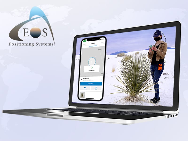
Eos High-Accuracy ArcGIS Field Maps Workshop with Guest Esri
Thursday, February 25 at 9:30am-12pm PDT
- Registration: Must register by Feb. 24 to attend (free)
Join Eos with special guest Esri for this live educational workshop. First, learn how to configure the new ArcGIS Field Maps web application. Then, after a quick break, return for an outdoor GNSS data-collection demonstration using Arrow Gold, Field Maps, and iPad®. Registration is free but limited.
Register today to reserve your spot >

L.A. Geospatial Summit
Friday, February 26 at 12pm-1pm PDT
- Registration: Must be registered for summit ($25-$75)
Join our partner Isaiah Mack for this live presentation, “How 4 Constellation GPS (GNSS) is changing the high accuracy mapping and GIS RTK landscape in California and beyond.” Isaiah will be available for Q&A after the event. View the full agenda here.
Register and add this session to your calendar >

