/// Vermont Gas Systems Doubles Efficiency with Arrow Golds and iPad®s

“We would spend eight or nine months installing services and mains with only a vague idea of what happened and when. Then we’d spend the winter figuring out what we did and making record of it.” — James Cunningham, GIS Administrator
After replacing paper workflows and institutional knowledge with modern mapping hardware and software, Vermont Gas Systems doubled their mobile efficiency.
You no longer need X-ray vision to “see” underground assets. Tomorrow, you’re invited to learn how Oakland County, Michigan, mapped their buried utilities with centimeter accuracy — in real time— directly into their web GIS. Speakers from Eos, Esri, OHM Advisors, and Oakland County will be available for Q&A after the presentation.

Eos celebrates women in tech!
Eos social media post
ICYMI: March 8 was International Women’s Day. Eos is proud to celebrate women whose work changes the world. Browse some of our favorite customer submissions, and follow Eos on Twitter for more dispatches from the field.
Field Worker user type – more opportunities to use location tracking
ArcGIS Blog by Esri’s Jeff Shaner
With the April 2021 update to ArcGIS Online, Esri announced that ArcGIS users assigned a Field Worker user type will no longer require an ArcGIS Tracker premium add-on license! Now Arrow GNSS users will be able to take advantage of high-accuracy tracking in ArcGIS Field Maps for no added cost.
/// Technical tips and GNSS updates from our Tech Support Manager, Alvaro Paez:
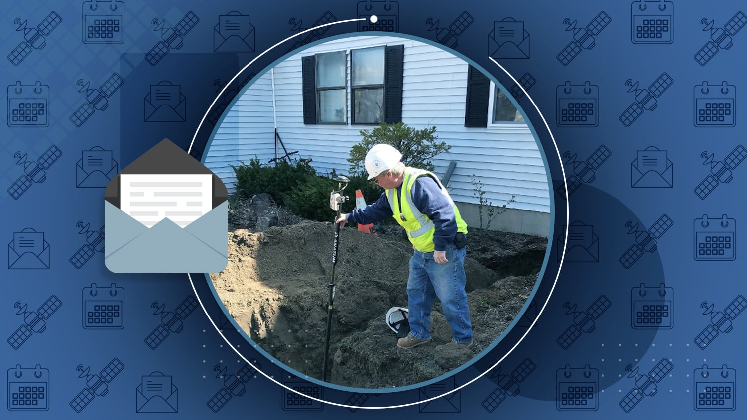
New Eos Locate™ (underground mapping) manuals available: Dear Eos customers: As of March 2021, there are two new/updated user manuals available to help you get started with underground mapping using the Eos Locate™ for ArcGIS® Apps solution:
- Download the updated User Manual for compatible Vivax-Metrotech locator models
- Download the updated User Manual for compatible Subsite® models
Have a different model? Contact Eos tech support to learn if we support it

Zac Petix, the Sherlock Holmes of High-Accuracy GIS
Whether he is working in a historic heatwave or sourcing the next best mobile solution, Zac Petix is always ready to solve a challenge. Learn what makes Zac the Sherlock Holmes of high-accuracy GIS.

[Webinar] Bring Your Buried Assets to Life
Date: Wed, March 31 from 10-11am PDT
Join Esri and Eos for a presentation on underground utility mapping using Eos Locate™ for ArcGIS® Field Maps. You’ll hear how Oakland County and OHM Advisors used this solution to map mixed utilities in Michigan. Panelists from all organizations will be available live to answer questions.

[Workshop] Underground Utility Mapping with Eos Locate™ for ArcGIS® Field Maps (with live outdoor demonstration)
Date: Thurs, April 29 from 9:30am-12pm PDT
Join Eos and Esri for a free training workshop in underground utility mapping. Our team will teach you every step, from getting your web map ready in ArcGIS Pro to locating and mapping a buried utility live. Panelists will stay for Q&A.
[Event] TNGIC Spring Conference
Date: Tuesday, April 20
Eos is a proud sponsor of the Tennessee Geographic Information Council’s annual conference. Visit our sponsor listing page and connect with our local representative during the event. TNGIC members can find registration information by logging in online.