Visit Eos Positioning Systems® (Eos) — an Esri Silver Partner and ArcGIS Online Specialty Partner — at the 2018 Texas GIS Forum in Austin, Texas. This year’s event will be held at the Commons Learning Center at the J.J. Pickle Research Campus.
Discover how high-accuracy field GIS works, and meet the Eos team. We’ll bring you the world’s premier Bluetooth GNSS receiver, the Arrow Series. Visit the Eos booth to learn how you can make any device, from iOS® to Android and Windows, capture high-accuracy location in nearly any environment — including GNSS-impaired environments.
How to find Eos at the 2018 Texas GIS Forum
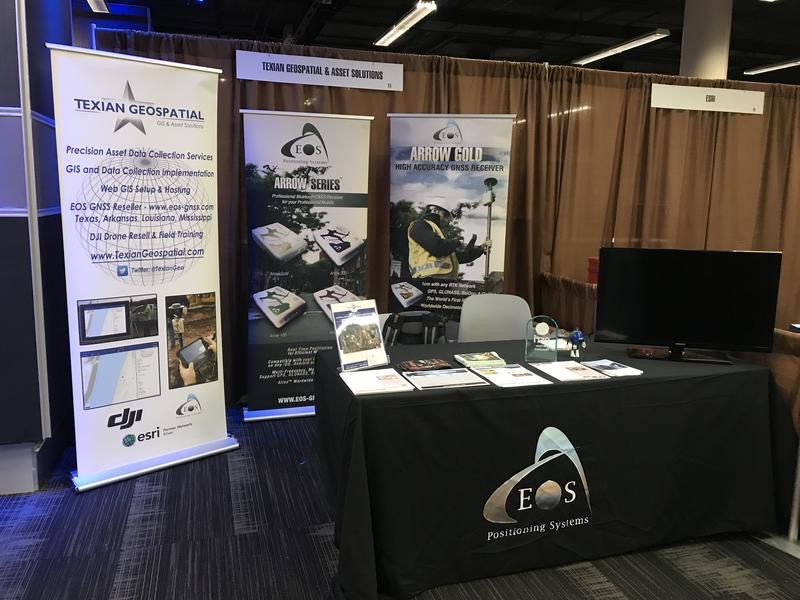
Eos will be exhibiting from October 22-26. Look for this familiar face!

Location
Commons Learning Center at the J.J. Pickle Research Campus
10100 Burnet Rd.
Austin, TX 78753
Expo Date & Time
October 22-26
SESSION WE RECOMMEND:
“Centimeter Accuracy GPS/GIS on Your Smartphone or Tablet”
Thursday, October 25 11:30 a.m. to 12 p.m. (noon)
Presented by David Pritchard, Texian Geospatial and Asset Solutions
About the 2018 Texas GIS Forum
The 2018 Texas GIS Forum is an affordable and jam-packed meeting of the GIS minds. Join professionals from government organizations and private industries, as well as budding innovators in the regional geospatial market, for one of the most robust geospatial events in Texas. Attendees may choose to attend pre-conference workshops, several days of presentations, and a keynote from the Travel Channel representatives. This year, our focus will be showing the geospatial community new, more affordable, easier-to-use ways to capture high-accuracy GNSS data (location) in the field.
About Eos Arrow and Our Global Partners
Eos works with a variety of partners to bring affordable and intuitive high-accuracy field solutions to users across industries.
This means submeter and centimeter RTK field data is available on your phone or tablet, regardless of which operating system you use. So your crews can work on iOS, Android, Windows, Windows Mobile, or a combination of devices.