


Visit Eos Positioning Systems® (Eos) — a 2019 Esri Award-Winning Silver Partner and ArcGIS Online Specialty Partner — at the 2020 CalGIS event. This year’s event will be held at Hilton Long Beach in Long Beach, California. Eos will be exhibiting as a Bronze Sponsor from February 10-11.
Scroll down to
- Find Eos on the floor plan
- Preview what our booth looks like
Find Eos on the 2020 CalGIS floor plan
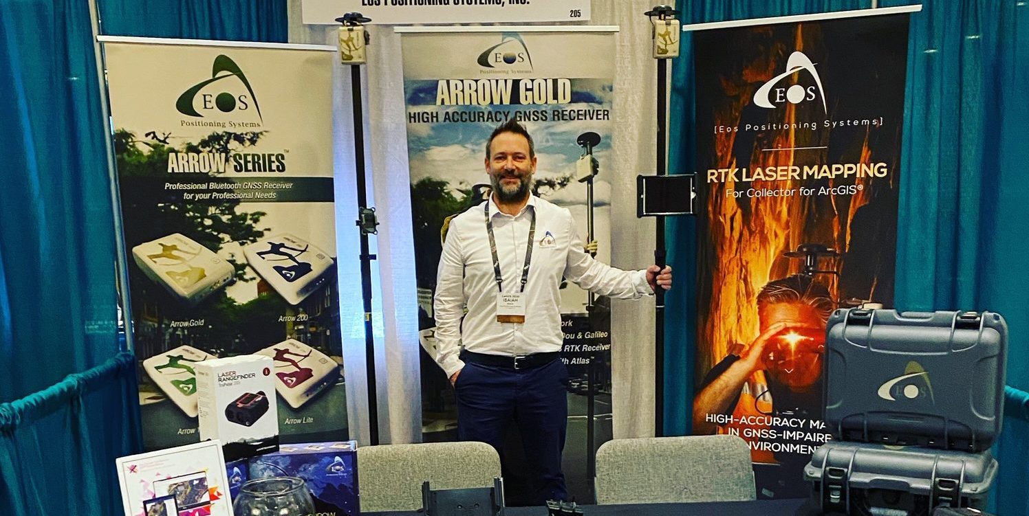
Eos is proud to be exhibiting as a Bronze Sponsor this year. Here is how to find us in the Expo Area in Booth #205:

Location
Hilton Long Beach
701 W Ocean Blvd
Long Beach, CA 90831
Booth #205
Expo Dates and Times
Feb. 10 – 10am-6pm
Feb. 11 – 10am-2pm
Preview what the booth will look like
The Eos Positioning Systems booth will look like this (the actual booth may vary slightly!):

Watch a related video:
Eos Locate™ for ArcGIS® Collector is the world’s first real-time, high-accuracy, underground-mapping solution for utilities using Esri Collector. With Eos Locate™ for Collector, utilities can map their buried infrastructure (e.g., electric, gas, water, telecommunications infrastructure and more) with submeter or centimeter accuracy. All a field worker needs is an Eos Arrow GNSS receiver, Esri Collector, and a compatible locator device.
Read a relevant case study:

Gathering data in remote, rugged areas can be very challenging. In typical situations, this requires a large team to put in lots of time and effort. But in 2017, Sulphur Springs Valley Electric Cooperative (SSVEC), based in southeastern Arizona, managed to collect data on more than 7,000 locations in 32 days—with only two staff members. The secret to this success? ArcGIS Collector.