


Visit Eos Positioning Systems® (Eos) — a 2019 Esri Award-Winning Silver Partner and ArcGIS Online Specialty Partner — at DistribuTECH 2020. This year’s event will be held at Henry B. Gonzalez Convention Center in San Antonio, TX. Eos will be in the Esri booth from January 28-30.
Scroll down to
- Find Eos on the floor plan
- Preview what our booth looks like
- Watch a related video
- Read a relevant case study!
Find Eos on the DistribuTECH 2020 floor plan
Eos is proud to be exhibiting with the Esri team this year. We will occupy one of the Partner Pavillions within the Esri booth itself. Join us to learn about new GPS solutions for Esri ArcGIS applications!
Here is how to find us in the Expo Hall in Booth #2047:

Location
Henry B. Gonzalez Convention Center
900 E Market St
San Antonio, TX 78205
Booth #2047
Expo Dates and Times
Jan. 28 – 10am-6pm
Jan. 29 – 10am-5pm
Jan. 30 – 9am-1pm
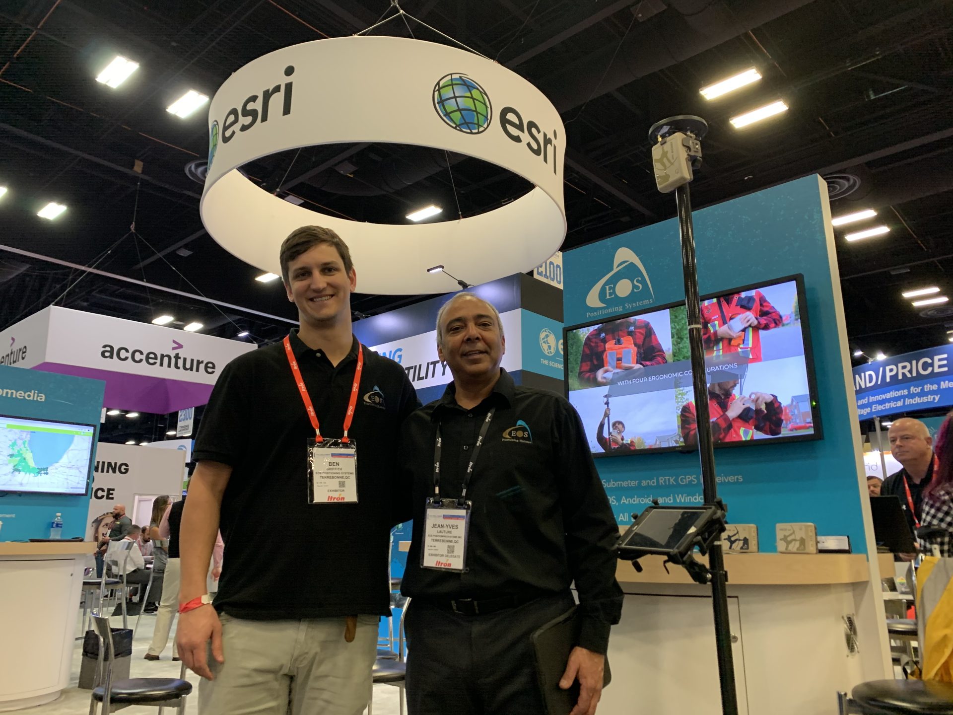
Preview what the booth will look like
The Eos Positioning Systems Partner Pavillion will look like this (actual booth may vary slightly):

Watch a related video:
Eos Locate™ for ArcGIS® Collector is the world’s first real-time, high-accuracy, underground-mapping solution for utilities using Esri Collector. With Eos Locate™ for Collector, utilities can map their buried infrastructure (e.g., electric, gas, water, telecommunications infrastructure and more) with submeter or centimeter accuracy. All a field worker needs is an Eos Arrow GNSS receiver, Esri Collector, and a compatible locator device.
Read a relevant case study:

Gathering data in remote, rugged areas can be very challenging. In typical situations, this requires a large team to put in lots of time and effort. But in 2017, Sulphur Springs Valley Electric Cooperative (SSVEC), based in southeastern Arizona, managed to collect data on more than 7,000 locations in 32 days—with only two staff members. The secret to this success? ArcGIS Collector.