Date and Time
Wednesday, October 6, 2021
12 p.m. (Noon) – 1 p.m. EDT
Registrants will receive a recording even if they cannot attend live.
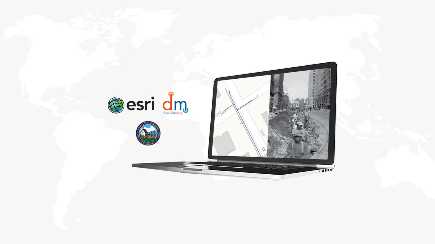
Are you new to high-accuracy mobile mapping? Or maybe you have a current mapping workflow in ArcGIS Collector. No matter what your experience level, this webinar will walk you through what you need to know about using high-accuracy Arrow GNSS receivers in Esri’s newest data-collection app, ArcGIS Field Maps. Join guests from Eos Positioning Systems, Esri, the City of Wilmington, and Directions Magazine. You will learn what to expect when migrating from Collector to Field Maps, what to know about using Arrow GNSS receivers with Field Maps and hear from a current user about his experience in deploying ArcGIS Field Maps to a municipal mapping project — including how accurate, standardized, and real-time data collection helped turnaround as-built time from over a year to near real time.
In this webinar, you will learn:
- What to expect when migrating from ArcGIS Collector to ArcGIS Field Maps
- Real-life use case of deploying ArcGIS Field Maps with high-accuracy Eos Arrow GNSS receivers
- Best practices when using Arrow GNSS receivers with Field Maps
Speakers Include:
- Yousre Odeh, GIS Technician II, City of Wilmington, Delaware
- Jeff Shaner, Field Apps Product Engineering Lead, Esri
- Jean-Yves Lauture, Chief Technology Officer, Eos Positioning Systems