How do I know if My iOS® or Android Device Is Using My Bluetooth GNSS Receiver?
One question we often are asked is “how do I know if my iPad®/Android is using my Bluetooth GNSS receiver or the internal iPad/Android GNSS receiver?”. With legacy Microsoft Windows devices, it’s easy to assign the Bluetooth receiver to a “COM” port on the mobile device so the user knows, without question, that their data collection software is using the Bluetooth receiver. With iOS and Android devices, it’s not so easy.
Location Services. Both iOS and Android (and future Windows devices) use a concept called Location Services. Location Services is a central service that apps use for determining your location. This can be any app from Apple/Google maps to Esri’s Collector software. The most confusing part of Location Services is that it can derive location from a number of different sources, not just your Bluetooth GNSS receiver, and you don’t have the ability to select the location source. Other sources of location information, besides GPS, include Wifi and cell tower triangulation, both of which are much less accurate than GPS.
Another limitation of Location Services is that it only recognizes general information from the Bluetooth GNSS receiver. Specifically, iOS Core Location services only recognizes $GPGGA and $GPRMC NMEA data, which offers limited information about how the Bluetooth receiver is performing. Therefore, most app developers only report limited information from the Bluetooth GNSS receivers. Of course, after spending several hundreds or thousands of dollars on a high-performance Bluetooth GNSS receiver, users want specific metadata from the Bluetooth GNSS receiver, with the big one being estimated precision. iOS Core Location doesn’t support reporting estimated precision. This is why when you use iOS mapping applications, virtually no GNSS metadata is available or recorded in the app unless the app developer makes a specific effort to incorporate GNSS metadata.
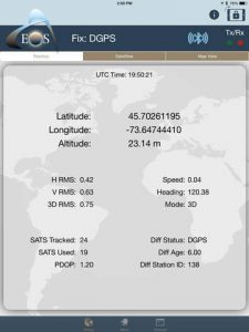
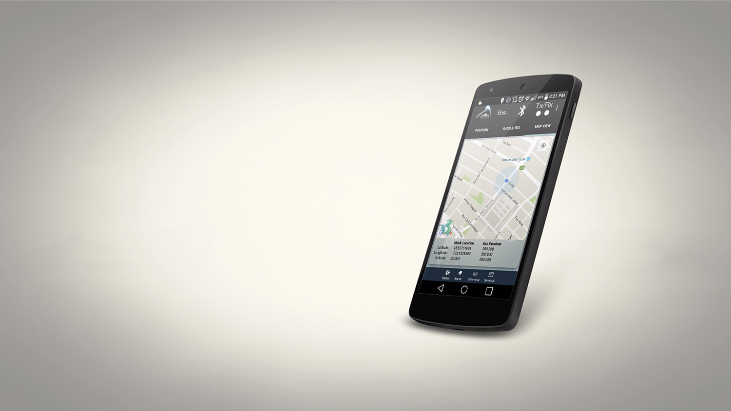
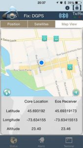
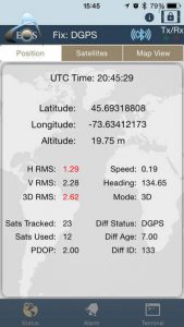
To overcome the deficiency of Location Services in providing GNSS metadata, the quality of the GNSS receiver companion app becomes very important. The companion app runs concurrently with the mapping app. For our products, we have companion apps for iOS, Android and Windows. Our iOS and Android companion apps display a lot of useful GNSS metadata, including estimated accuracy, age of differential correction, and detailed information about the satellites being used by the receiver. Equally important to GNSS metadata is the companion app’s ability to allow the user to set alarms and be warned if limits are exceeded. For example, if the user doesn’t want to record data if the accuracy is greater than 5cm, they can set a limit in the companion app to sound an alarm if the estimated precision is greater than 5cm.
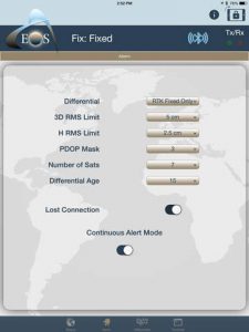
To answer the original question, “how do I know if my iPad/Android is using my Bluetooth GNSS receiver or the internal iPad/Android GNSS receiver?”, lies in the companion app. In Eos Tools Pro, an alarm will sound if your iPad/Android is not connected or using the location information from our Arrow receivers.
The value of our companion apps is that you can use them with any iOS or Android mapping app. Our companion apps give you the information and reassurance you need in order to know if you are collecting high quality data in your mapping app. If you’re a mapping app developer and would like to incorporate the functionality of our companion apps inside your software, please contact us and we’d love to help you do this. It’s a simple process.

