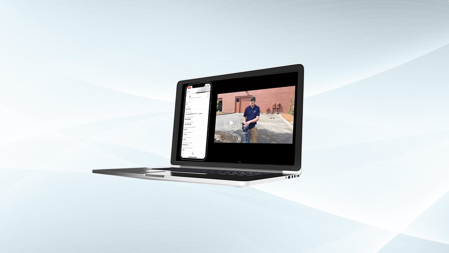
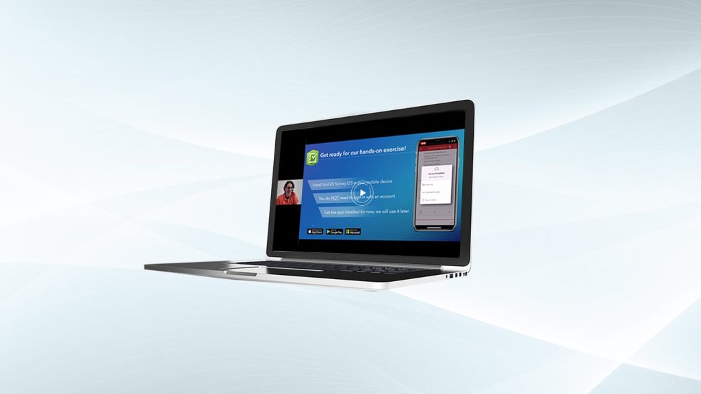
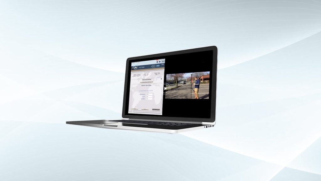
Eos Positioning Systems is pleased to offer a free training workshop for Eos Locate™, our underground utility mapping solution that works with Esri’s ArcGIS Field Maps. The following workshop was recorded live in 2021 during the COVID-19 pandemic. To request a copy of the recording, please email marketing (at) eos-gnss (dot) com. Please use your work email address when requesting a recording.
Underground Utility Mapping with Eos Locate™ for ArcGIS (April 2021 Workshop with Esri)
Join Eos Positioning Systems, Esri, and hundreds of attendees for a high-accuracy underground utility mapping workshop on April 29. In this free, exclusive training workshop you’ll have the opportunity to:
1. Learn about the new free, high-accuracy underground-mapping solution from partners Eos and Esri: Eos Locate™ for ArcGIS® apps
2. Explore how to improve the spatial accuracy of your entire network — by ensuring that the location data for existing buried infrastructure is (finally) just as good as that of newly installed assets
3. Receive hands-on training in the software and hardware components required to map underground utilities directly into your Esri GIS
4. Participate in a live outdoor data-collection demonstration during which we map an underground utility in real time
This workshop will cover the following hardware and software technologies:
- Eos Arrow Gold® GNSS receiver
- Eos Bridge™
- ArcGIS Field Maps
- ArcGIS Online/Pro
- Compatible utility locator models (e.g., Subsite, Radiodetection, Vivax-Metrotech)


