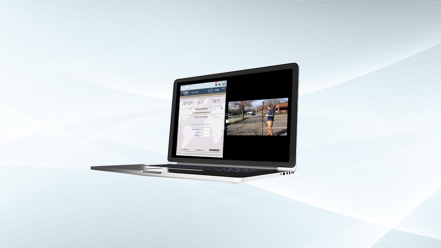
Eos Positioning Systems is pleased to offer a free training workshop for Eos Laser Mapping™, our solution for mapping assets from afar with high-accuracy. The following workshop was recorded live in 2021 during the COVID-19 pandemic. To request a copy of the recording, please use your work email address.
Eos Laser Mapping for ArcGIS Field Maps (March 2021 Workshop with Esri and LTI)
Join Eos Positioning Systems with special guests from Esri and Laser Tech (LTI), as well as hundreds of attendees, for a virtual workshop on Eos Laser Mapping™ for ArcGIS Field Maps. Eos Laser Mapping™ is the process of mapping an asset without having to physically occupy its location, using GNSS and handheld laser rangefinders.
In this free educational training event, you will:
- Learn about mapping in Field Maps using high-accuracy GNSS and handheld laser rangefinders
- Go over the various laser-mapping workflows/methods available with Eos Laser Mapping™ for ArcGIS, including pros, cons, and technology requirements of each
- Receive training on how to configure your Esri web maps for laser mapping
- View a live outdoor demonstration of laser mapping with Field Maps
This workshop will cover the following hardware and software technologies required for Eos Laser Mapping for ArcGIS:
- Eos Arrow GNSS Receivers
- LaserTech handheld laser rangefinders, including new support for legacy TruPulse 200L/200 and 360/360B/360R lasers
- Esri ArcGIS Field Maps and ArcGIS Collector
- Esri ArcGIS Online
In this multi-part workshop, you will learn the value of laser mapping in Field Maps and get an overview of the various methods available for your workflows. You will then view a live web-map configuration, followed by a live outdoor data-collection demonstration. This series of exercises is designed to provide a foundational understanding of laser GIS. A panel of experts from Eos, Esri and LaserTech is available at the end to answer all questions.


