
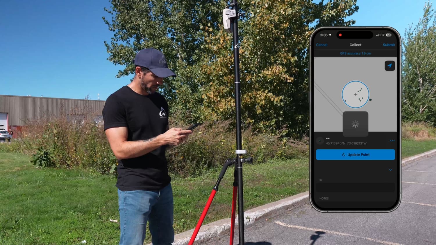
Learn how to collect highly accurate RTK point features in Esri’s ArcGIS Field Maps using the Arrow Gold+ GNSS receiver. In this step-by-step field demonstration, you’ll see the complete workflow from the mobile user’s perspective, including receiver setup, RTK correction status, positioning in the field, and point feature collection directly in ArcGIS Field Maps.
This tutorial provides a real-world view of what field crews see on their device and what they do on site to capture precise GIS data. Whether you’re mapping utilities, infrastructure, assets, or environmental features, you’ll learn how to use RTK GNSS positioning to improve data accuracy and confidence.
This video covers the following:
- Connecting ArcGIS Field Maps to the Arrow Gold+ GNSS receiver
- Confirming RTK corrections and positioning quality
- Navigating to a collection location
- Capturing a point feature in ArcGIS Field Maps with and without photos
- Reviewing GNSS metadata and accuracy information
- Best practices for high-accuracy GIS data collection
Learn more about the Arrow Gold+® GNSS receiver.
Explore Related Items
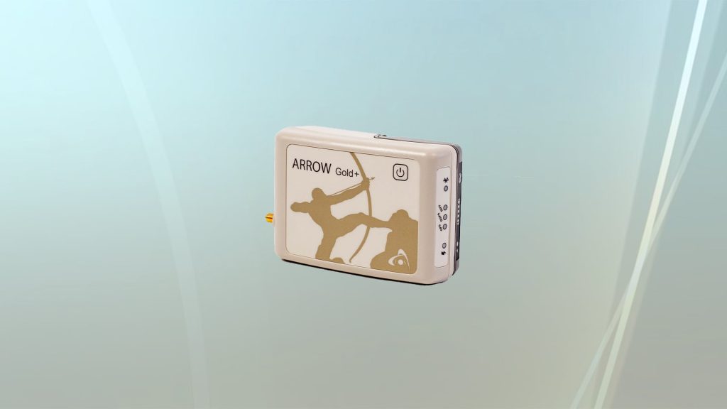
Arrow Gold+® Datasheet: Download Technical Specifications
Arrow Gold+® datasheet: Key features and technical specifications for the Arrow Gold+® GNSS RTK receiver from Eos Positioning Systems.
Unboxing the Arrow Gold+® [Video]
Unbox the Arrow Gold+® GNSS receiver. This is the most powerful GNSS receiver in the Arrow Series® product line.