Feature Story
/// Mapping Dreams: Detroit Students Empower Their Futures with GNSS
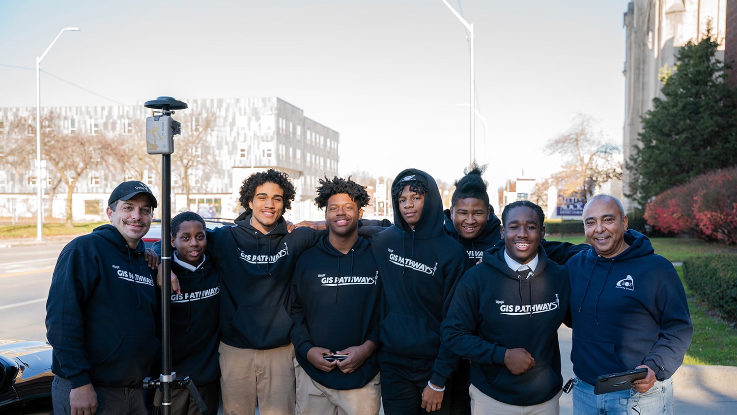
In Detroit, Michigan, a transformative program is helping high school students map their futures. The GIS Pathways program at Frederick Douglass Academy equips students with GIS, GNSS, and drone technology skills — opening doors to both educational and career opportunities. Many students have earned GIS internships, drone pilot licenses, and speaking spots at national GIS conferences. All have grown as students, collaborators, communicators, technology evangelists, and leaders. Learn how the students use cutting-edge mapping technology to open doors to their futures.
Industry News
Cassatt Water previously relied on CAD drawings and paper map books in the field. See how modern maps are equipping their next-gen crews with reliable digital locations.
Do you manage field projects for a port, department of transportation (DOT), railway, or other transportation organization? Eos Positioning Systems has a GNSS solution for you. Embark on your journey toward greater accuracy by browsing our offers and contacting our team!
Making Infrastructure Customers Successful (Volume IV)
By Esri
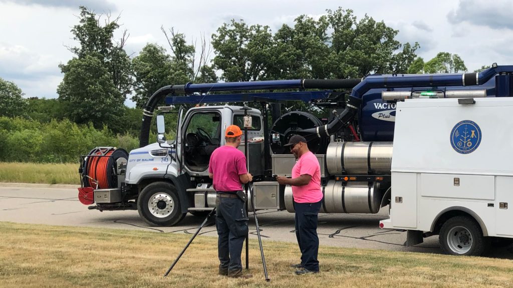
Volume 4 of the annual Esri ebook is live! Read real stories about water, electric, and other utility professionals making a difference with maps. Eos extends warm congratulations to our customers, Sheboygan Falls Utilities and the City of Saline, whose work is featured!
Al’s Corner: Technical Tips
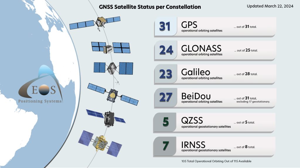
Current GNSS Satellite Status for March 22, 2024:
Customer Spotlight
Nathan Ward Guides Collaborative Water Utility Mapping
With nearly 24 years of experience in the consulting field, Nathan Ward entered the water utility sector with a trove of problem-solving know-how. Today as Cassatt Water’s Director of Engineering, Nathan creates cutting-edge and proactive solutions for both internal and external stakeholders. Learn how Nathan recently transformed GIS at Cassatt Water — and what drives him to innovate and serve.
Upcoming Events
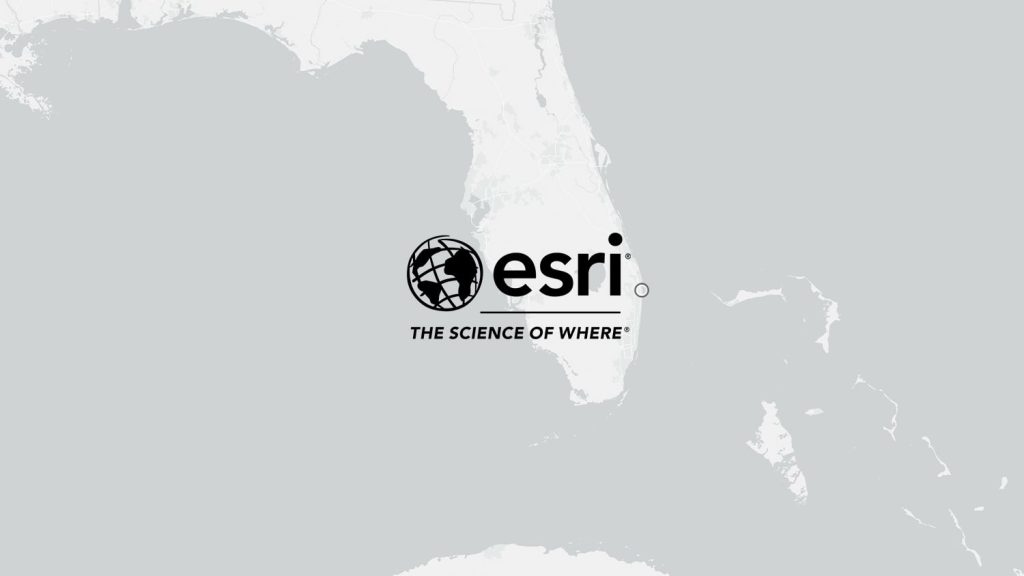
Esri Southeast UC
April 3-4 | Florida, USA
Join Eos in West Palm Beach, Florida, for the annual Esri SEUC. Our expert staff will be on hand to answer any questions about getting higher location accuracy directly in your ArcGIS apps!
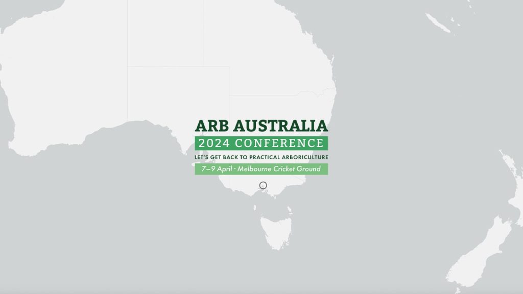
ARB Australia
April 7-9 | Victoria, Australia
Do you get excited about trees and GPS? Visit our authorized representative at this annual conference for Australian arboriculture professionals. Our local experts will be on hand to answer any questions about high-accuracy data collection in Australia.
Esri International IMGIS
April 8-10 | Frankfurt, Germany
Eos is back at the second-ever International IMGIS event in Frankfurt! Visit our team from all over the world in booth #116. Our staff can answer questions about using GNSS worldwide in a variety of environments, finding the best solution for your needs. Don’t miss our global team at this event!
Mid-America GIS Consortium
April 16-17 | Nebraska, USA
Find an authorized Eos representative at the MAGIC event in Omaha, Nebraska. Ask us anything about using mobile GIS with flexible, agnostic GNSS receivers.
Esri Water Meetup – San Antonio
April 17 | Texas, USA
Eos is pleased to sponsor this local Esri Water Meetup at the Esri San Antonio regional office. Join us for free lunch and learn about high-accuracy mobile mapping. Spots are limited so reserve yours today!
California Rural Water
April 24 | Nevada, USA
Eos and Esri are back at the California Rural Water Association annual conference in Lake Tahoe, Nevada. Find us in booth 75 in the exhibitor area. Ask experts from both companies any questions about high-accuracy mobile mapping technology.
SCAUG
April 24-25 | Texas, USA
Eos is pleased to support the annual SCAUG event in Dallas-Frisco. Find our representative in the exhibitor area and ask us anything from beginner to advanced high-accuracy mapping questions!
Esri ERGIS
April 24-25 | Texas, USA
Eos is pleased to sponsor the annual ERGIS event in Houston! Ask our team of GNSS experts what’s new for Esri users. Find our team in booth 403 and learn the latest about using GNSS with ArcGIS apps.


