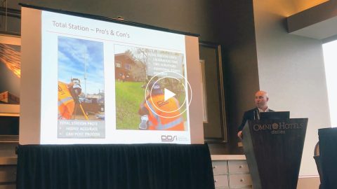
DDSI at Esri GeoConX explains how they accelerated field work, enabled real-time QA/QC and reduced accuracy error for utility field work with laser mapping.

DDSI at Esri GeoConX explains how they accelerated field work, enabled real-time QA/QC and reduced accuracy error for utility field work with laser mapping.

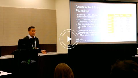
Urban Forestry with Eos Arrow 100 and Esri Collector: See how students used Collector and Eos Arrow GNSS to hold contractors accountable and save Halifax Regional Municipality over $270,000.