Using 50-Hz observations from an Arrow Gold+ GNSS receiver aboard an Arctic research ship, one Canadian graduate student studies a way to mitigate the impact of ionospheric scintillation on GNSS positioning
Several years ago, on the eastern Canada coast, University of New Brunswick (UNB) then-undergraduate student Sophie LeGresley developed a love for analyzing geospatial errors. Her passion has since translated into an interest in GNSS errors.
“I like figuring out where GNSS error comes from and solving those little puzzles,” LeGresley said.
Now a UNB graduate student, LeGresley has undertaken a “scintillating” research project. Her goal? To develop a method to reduce GNSS error caused by ionospheric scintillation.
What is Scintillation?
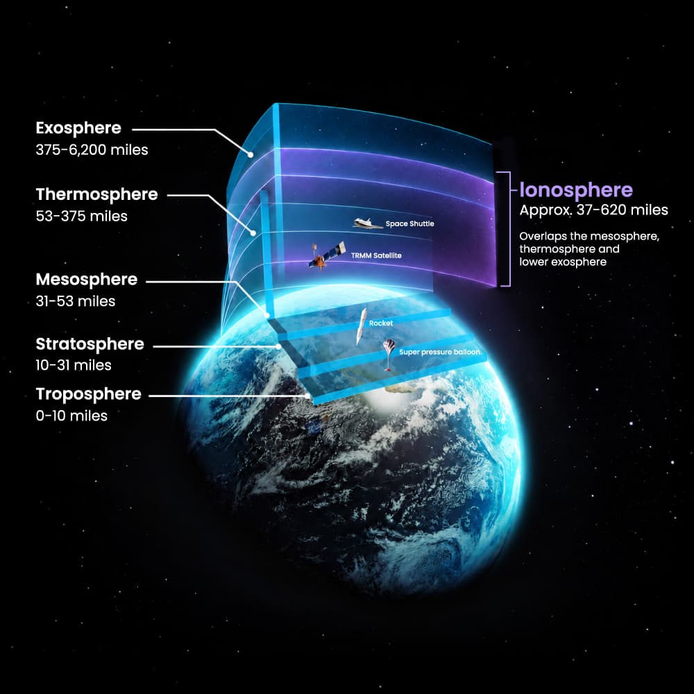
At a high level, GNSS signals pass from satellites to receivers through the Earth’s ionosphere. In this (aptly named) atmospheric region, free electrons disrupt signals. Even tiny fluctuations in a GNSS signal’s path can create meters of inaccuracy in the position calculation.
Today, most errors from ionospheric activity can be corrected for by widely available corrections services such as RTK and SBAS. But sometimes — especially in regions like the equator, Arctic, and Antarctic — GNSS signals undergo an anomaly known as scintillation. At high latitudes, scintillation stems from strong geomagnetic activity, such as a solar storm, which can disrupt the ionosphere, thus causing the signals passing through it to scintillate. What’s happening at a high level is that the electron density doesn’t stay smoothly distributed during these moments of strong activity. So when a signal passes through the area of irregular electron distribution, it begins rapidly fluctuating, leading to a weaker single, more error in the measurements based upon that signal, or even signal lock loss. Because scintillation is a random anomaly, it’s incredibly difficult to mitigate.
Unsurprisingly, there are also fewer scintillation studies being undertaken in hard-to-reach regions like the Arctic, as compared to those taking place at the equator.
“There’s much less research being done on high-latitude scintillation,” LeGresley said.
So that’s what she set out to study.
Monitoring Scintillation Takes More Than a Standard Receiver
“Think of it like wiggling. If a signal is wiggling 20 times per second, you need to observe it at least 50 times per second to be able to see those really fast wiggles.”
— Sophie LeGresley, Graduate Student, University of New Brunswick
Not only is scintillation difficult to correct; it’s difficult even to observe.
Scintillation happens quickly, with as many as 20 fluctuations occurring per second, always at random. Because of this, LeGresley needed a GNSS receiver capable of outputting signal observations at a rate of 50 Hertz (50 times per second).
“You need to be taking 50 observations per second to be able to resolve those fluctuations,” LeGresley said. “Think of it like wiggling. If a signal is wiggling 20 times per second, you need to observe it at least 50 times per second to be able to see those really fast wiggles.”
A 50-Hz observation isn’t something most off-the-shelf GNSS receivers do. In fact, most 50-Hz receivers are used exclusively by scientists studying the ionosphere.
Yet it just so happens that the UNB physics department runs the Canadian High Arctic Ionospheric Network (CHAIN) across northern Canada, including the Arctic. These CHAIN stations take the 50-Hz observations necessary to monitor scintillation, and their data is available to download online.
For her first testing phase, LeGresley used this scintillation data to create a regional scintillation map, which can be used to estimate the scintillation being experienced by any receiver in that region. These estimates are then used in an open-source precise point positioning (PPP) software, which she modified to account for scintillation in the position solution.
She applied her mitigation method to the static receivers to determine if the scintillation was, in fact, mitigated. For her next phase, LeGresley wanted to study the effectiveness of the mitigation method on a moving receiver, to better mimic real-world applications.
“I wanted to test the mitigation method on messier data, in a real-world application,” she said.
The Research Vessel That Carried the Method Forward
“It’s great that the Eos receiver just so happens to be able to operate at 50 Hz, which is not common.”
— Sophie LeGresley, Graduate Student, University of New Brunswick
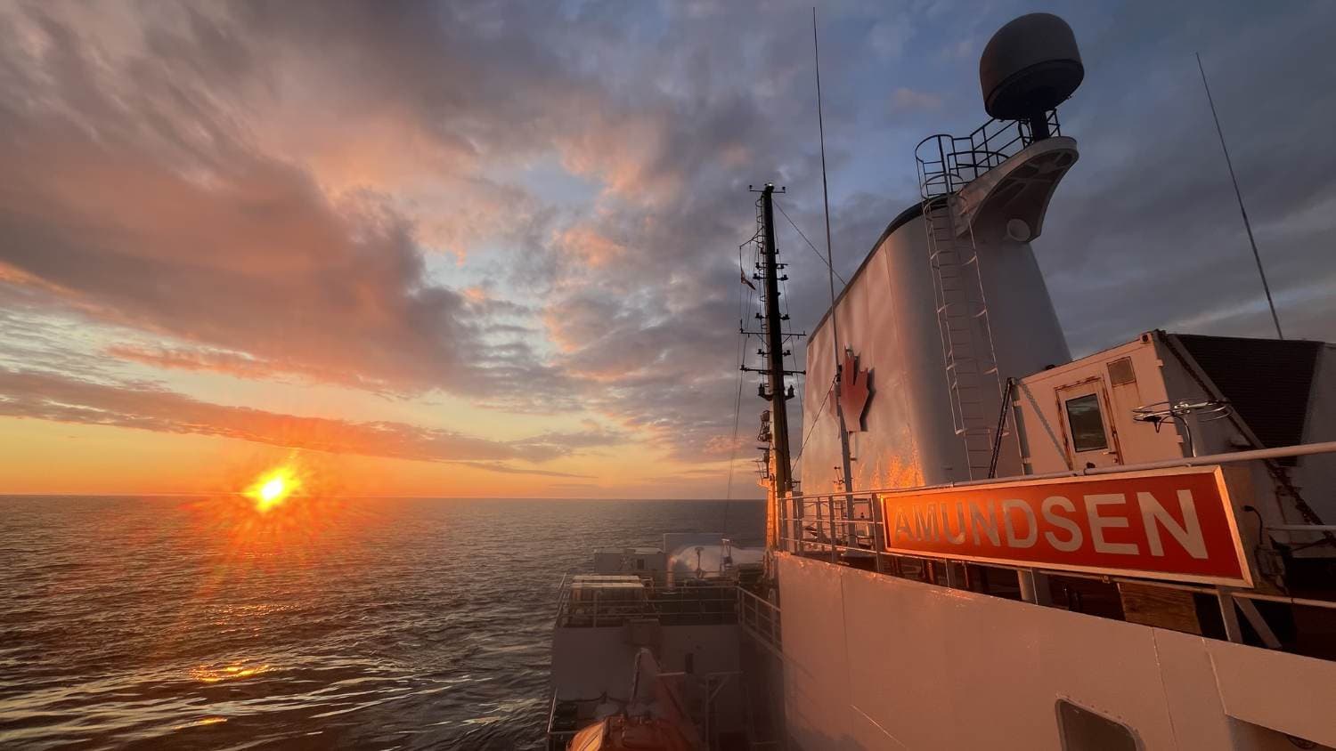
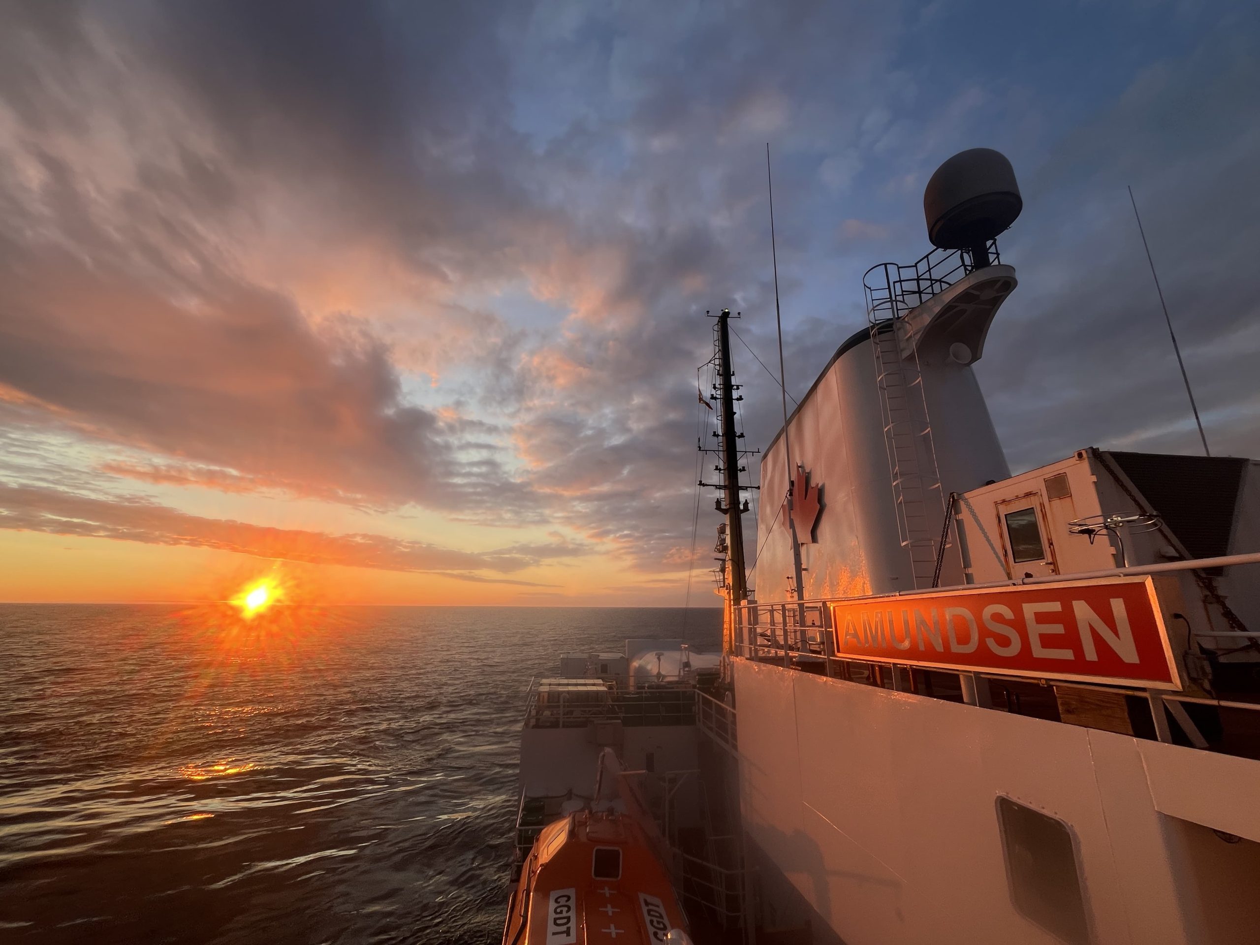
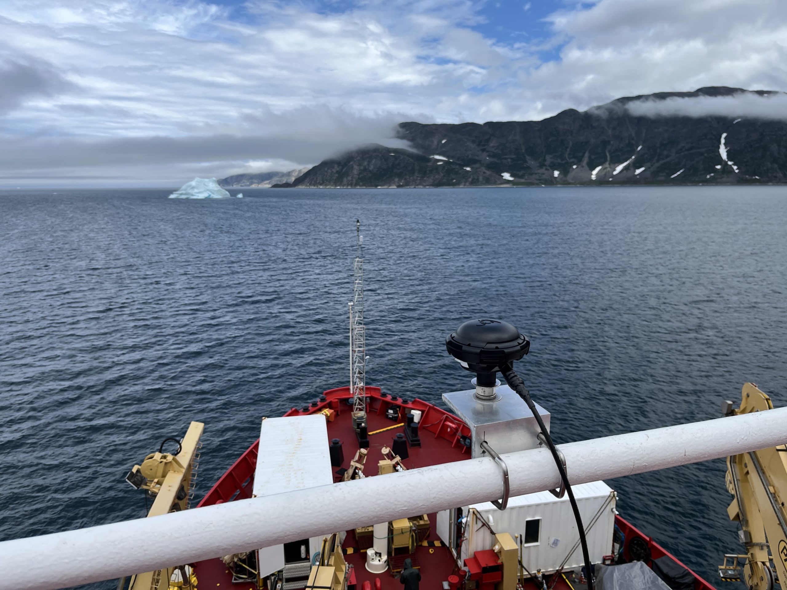
By chance, elsewhere at UNB around the same time, researchers were gearing up for an Arctic research expedition aboard the Canadian Coast Guard Ship (CCGS) Amundsen. The CCGS Amundsen, whose scientific mandate is managed by Amundsen Science, would travel for four weeks from Quebec City to Iqaluit in the Canadian Arctic. Aboard it were scientists from countless organizations studying all sorts of topics.
Researchers from UNB’s Ocean Mapping Group went aboard the CCGS Amundsen to map ocean floors with high accuracy.
Part of their technology kit included an Arrow Gold+® GNSS receiver made by Eos Positioning Systems (Eos). What makes the Arrow Gold+ unique is that, despite being an off-the-shelf GNSS receiver, it was capable of 50-Hz observations.
“The Amundsen was going to the Arctic anyway, and it was equipped with an Arrow Gold+ for ocean mapping,” LeGresley said. “It’s great that the Eos receiver just so happens to be able to operate at 50 Hz, which is not common.”
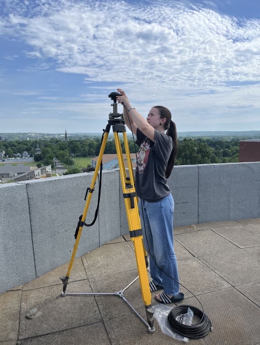
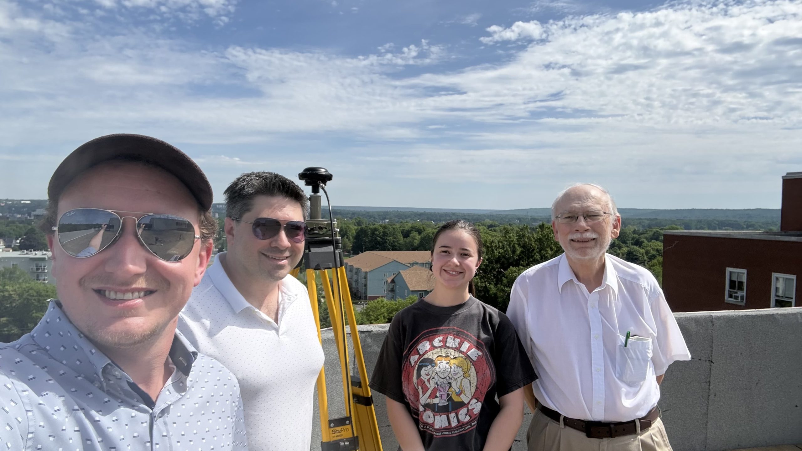
As the CCGS Amundsen approached its July 2026 departure date, Ocean Mapping Group Research Scientist Dr. Kevin Wilcox worked with Eos to activate the 50-Hz output, and UNB Research Assistant Tony Furey. helped prepare, test, and deploy the Arrow Gold+ data collection system.
Ocean Mapping Group has been advancing seafloor mapping research for more than 30 years
Founded in 1991 at the University of New Brunswick (UNB), the Ocean Mapping Group collects, visualizes, and interprets bathymetric data to support research in regions that remain largely unmapped. As part of UNB's Department of Geodesy and Geomatics Engineering, the group brings together expertise in hydrography, GIS, and 3D visualization.

Before the expedition, Furey configured the receiver for 50-Hz GNSS logging with Eos Utility and conducted rooftop testing to verify that the system could reliably capture, record, and convert high-rate observations — without data gaps — under open-sky conditions.
“We set the Arrow Gold up on the roof and were recording data under open-sky conditions because we wanted to get as many satellites as possible and really push the data-transfer capability to the limit,” Furey said. “We were pretty happy when we saw all the binary messages showing up in the file and could convert them to RINEX with no missing data at 50 Hz.”
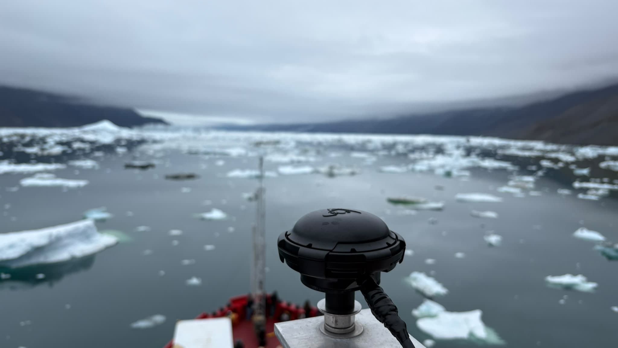
Once the system was validated on land, Furey oversaw installation aboard the Amundsen, including running a 40-meter cable from the acquisition room (where data is logged) to the observation deck, where he installed the Arrow Gold+. He also surveyed the antenna position relative to known reference points on the ship, ensuring the resulting datasets could be accurately tied to the vessel’s reference framework and compared against its existing navigation systems.
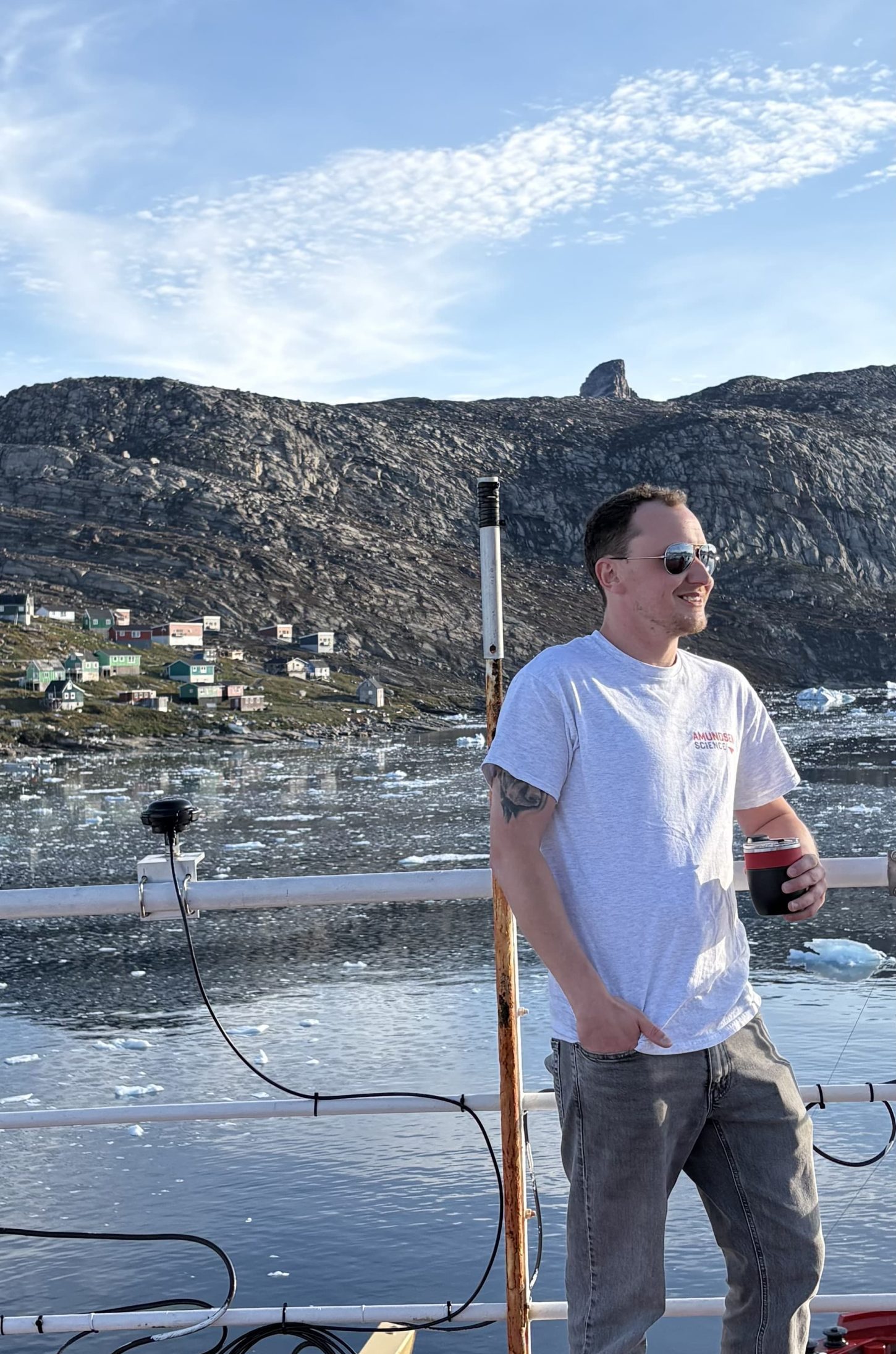
“We were pretty happy when we saw all the binary messages showing up in the file and could convert them to RINEX with no missing data at 50 Hz.”
— Tony Furey, Research Assistant, University of New Brunswick
Scintillating Findings, and Possible Real-World Applications
The CCGS Amundsen completed the first leg of its journey in August 2026. LeGresley is currently processing the data and interpreting her findings. She hopes to publish her work in early 2027.
So far, she’s had promising results, though her findings will remain private until her research is completed.
“I’m excited to share the findings,” she said.
That type of result could have positive implications for field workers who use GNSS equipment every day, especially at times of high solar activities. What’s uniquely helpful is that LeGresley’s research is based on open-source processing-software adjustments rather than hardware adjustments. This makes the mitigation method accessible to all.
“You don’t need any special hardware to implement this,” she said. “It’s just a change to the algorithm, which anyone could modify in any software to implement this.”
To learn more about the research happening aboard the CCGS Amundsen, click here.
To learn more about UNB’s Department of Geodesy and Geomatics Engineering, click here.
To learn more about Ocean Mapping Group, click here.
More Photos from the CCGS Amundsen’s Summer 2026 Arctic Voyage


Explore Related Content

The First All-Canadian Antarctic Expedition Uses Galileo HAS and Eos GNSS to Map Underwater Features
Discover how the first all-Canadian Antarctic research expedition achieved high-accuracy underwater mapping using the Arrow Gold+ and Galileo HAS — all in one of the world’s most remote, RTK-free environments.
Mapping The Western Hemisphere’s Deepest Cave with High Accuracy
PESH is on a mission to explore and map México’s Sistema Huautla. The Arrow 100 GNSS receiver is helping them prove their survey findings.