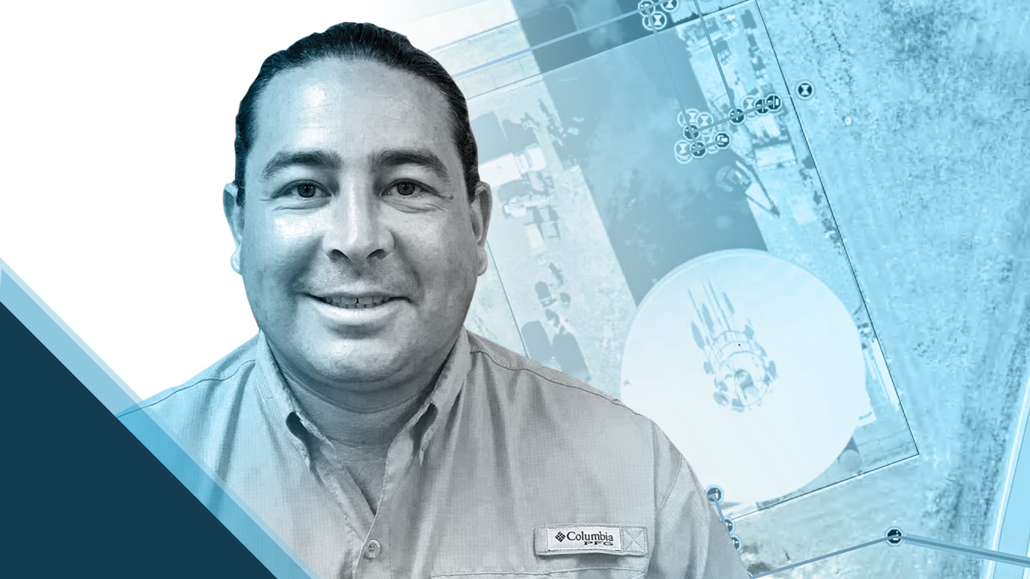
As a one-man GIS team, Dave Babicki is constantly searching for ways to increase efficiency without sacrificing accuracy. In his role as GIS Specialist at Jonah Water Special Utility District (SUD), he is committed to mapping the district’s extensive water assets. Using an Eos Arrow Gold® GNSS receiver alongside Esri’s ArcGIS Field Maps, Dave records these assets with centimeter-level accuracy.
As his water utility grows, these accurate locations are key to providing quality water service to customers. Dave’s work ensures quicker repairs, informs decision-making, and promotes collaboration across the district. Scroll down to learn how Dave uses the latest GNSS technology to take his water utility to the next level!
1. Why are you passionate about your job?
As a GIS analyst, I am passionate about using location awareness, relationship detection, and pattern recognition to create solutions to challenges. On top of this, I am able to do this at a wonderful organization that is committed to providing safe, high-quality water services to our community and maintaining a standard of excellence in customer service.
2. How did you first find out about Eos Positioning Systems’ GNSS products?
Once I began researching GNSS receivers, I received a recommendation for Eos products and was introduced to a regional Eos representative. After exploring the Eos website and receiving a personal demonstration of the Eos Arrow Gold® GNSS receiver, it was evident Arrow was the right product for Jonah Water SUD.
3. What do you use Arrow Series® GNSS receivers for?
Jonah Water SUD covers a large area of central Williamson County. We are steadily changing from a small, rural public water system to a mid-sized system serving rural and urban residential developments as well as commercial and industrial customers. Like many utility companies, knowing where our assets are located is a critical component to successfully providing the highest quality service to our customers. I use an Eos Arrow Gold® GNSS receiver with an Eos RTK base station to locate assets with centimeter-grade accuracy. Having confidence in our locations promotes informed decision-making about repairs, improves customer relations and water service updates, and encourages collaboration throughout different departments.
4. Do you have a favorite experience or memory from your projects with Eos Arrow?
Since deploying Eos products, my entire experience has been great. One particular memory was demonstrating to our maintenance supervisor the centimeter-grade accuracy with the Arrow Gold® after a contractor hit one of our waterlines. Our maintenance supervisor spent several hours searching for the buried valve, which needed to be shut off to isolate the water leak. Prior to starting this new construction project, I had collected the locations of the existing inline gate valves. So, it was easy to find the buried valve in question. I walked up, turned on the Arrow Gold®, and placed my range pole on top of the buried valve. He was impressed with how efficient and effective it was to locate the valve with the Eos equipment. It was proof of concept.
5. Do you have a favorite feature of Arrow GNSS receivers?
There are several great features to the Arrow Gold® GNSS receiver that I am enthusiastic about. My favorite feature is its easability and functionality — seamlessly connecting to Esri’s ArcGIS Field Maps streamlines the data collection process.

6. Is there anything we didn’t ask you that you’d like to share with us?
My experience with Eos products and the Eos team has been great. From setting up the Arrow Gold® GNSS receiver to installing and configuring the RTK base station, the Eos team ensured its successful completion. Their webinars and training workshops are very informative, and they continue to demonstrate their innovation by developing new products like Eos Laser Mapping™ for ArcGIS and Eos Locate™ for ArcGIS®. We recently added Eos Laser Mapping solution to our workflow to capture hard-to-reach assets safely. It is a very easy-to-use solution that requires very little configuration.
You May Also Like One of These Success Stories:

5 Water Utilities Using Bluetooth GNSS Receivers
Five water utilities are using high-accuracy Bluetooth® GNSS receivers to transform their mobile data collection. Here’s how.

Santa Barbara Fights Drought by Upgrading Mobile GIS/GNSS
City of Santa Barbara is using an Arrow Gold® Base Station to map meters with centimeter accuracy, as city staff replace assets to respond to drought.
