The use of high-accuracy GNSS technology has proliferated among water and wastewater service providers. The following are five ways water utilities are saving time, cutting operational expenses, and definitively improving the accuracy of their asset management systems by capturing survey-grade locations.
1. Rockett Special Utility District replies faster to service demands

Use Case: Increase field efficiency
Demand for residential and commercial water services is booming in the rural Texas area served by Rocket Special Utility District (Rockett SUD). As field work increases, the crews required better maps. Previously, paper map books provided an address on which a meter or hydrant was located, but frequently throughout the day, the field worker would have to call a knowledge holder at the office to get guidance on where to look for the meter. Rockett SUD decided to remap all assets with survey-grade accuracy. They installed a private Arrow Gold® base station and rover, stood up an Esri ArcGIS Online account to take advantage of the ArcGIS Collector data collection app (which included offline support). Today, field workers no longer call in for directions, accelerating their productivity and freeing office staff to perform their primary functions.
2. Oldham County Water District cuts water meter installation cost in half

Use Case: Reduce operational expenses
Oldham County Water District serves over 8,300 residences with 369 miles of pipeline in rural Kentucky. In 2001, the utility digitized its assets for the first time. In 2016, they decided it was time to improve the assets’ accuracy. GIS Manager Kenny Ratliff deployed ArcGIS Collector, iPad® 2 mobile devices, and the Arrow Gold® GNSS receiver. As a result, OCWD was able to more quickly arrive exactly at the location where meters were to be replaced. With the savings of time, labor and fuel, OCWD brought the cost down by half from $212 to $111.
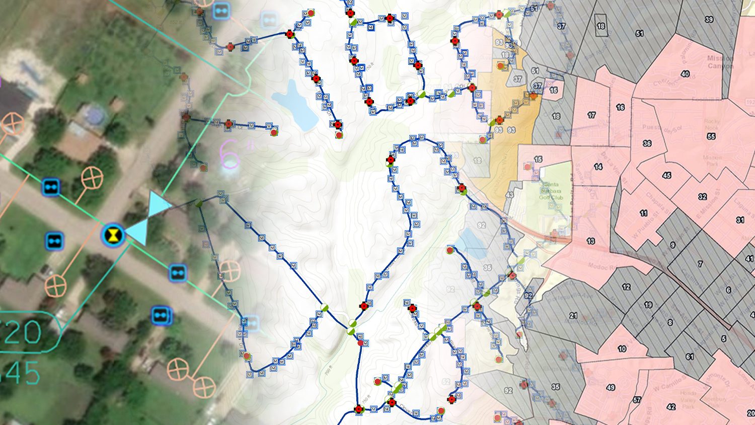
3. City of Santa Barbara fights drought with new system deployment

Use Case: Accelerate new-system deployment
Ninety miles north of Los Angeles, the City of Santa Barbara is prone to California’s increasing drought severity. Their public works team decided to replace aging infrastructure with 27,500 new meters, which would improve water-usage regulation. The replacement project was projected to take several years, and one of the problems encountered was locating old meters. Previously, meters had been mapped by association with a parcel. This meant multiple meters sharing a parcel also shared a location, which made it difficult to determine which mater was which. The city deployed an Arrow Gold® base / rover configuration and replaced a legacy field app with ArcGIS Collector. Not only were crews able to precisely map the new meters, but the new technology was so much easier to use that they also exceeded project timelines by 50%.
4. Indiana American Water reduces as-built time to 1 week from 6 months

Use Case: Faster as-builts
Indiana American Water serves over 300,000 customers statewide. Previously, the utility’s as-built workflow required manually exporting data from desktop GIS and then importing to mobile devices. These were shipped statewide and then returned to the office for processing. The whole check in/out system took up to 6 months to complete, and longer if the field data was corrupt or not transferred properly. Today, Indiana American Water has switched to a real-time field-to-office workflow using Arrow 200® GNSS receivers, ArcGIS Collector, and iPad Mini® 4s. As-built data is processed from office to field and back in 7 days.
5. Niagara region brings utility locates in house

Use Case: Eliminating a third-party cost
Like many Canadian municipalities, Niagara Region is responsible for locating buried pipes at its water and wastewater facilities. In the past, Niagara Region outsourced locates to third parties, but this was expensive and the data was often inaccurate when compared to desktop GIS records. Niagara Region hired a consultancy to install an Arrow Gold® base station, which provided centimeter RTK accuracy to iPads running ArcGIS Collector with another Arrow Gold® rover. The municipality officially eliminated the need to hire third-parties to perform the same work, and enjoy reliable records for the first time.
You May Also Like One of These Success Stories

Water District Supports Daily Workflows with GIS & GPS
In this webinar Esri’s Christa Campbell joins Kenny Ratliff, GIS manager at Oldham County Water District to share their field mapping journey.

Customer Spotlight: Ronald Stith López Improves Water Systems using GIS Across Peru and Colombia
GIS is more than just a job to Ronald Stith Lopez. It’s a way to improve people’s lives. Learn how Ronald uses GNSS across Peru and Colombia.
