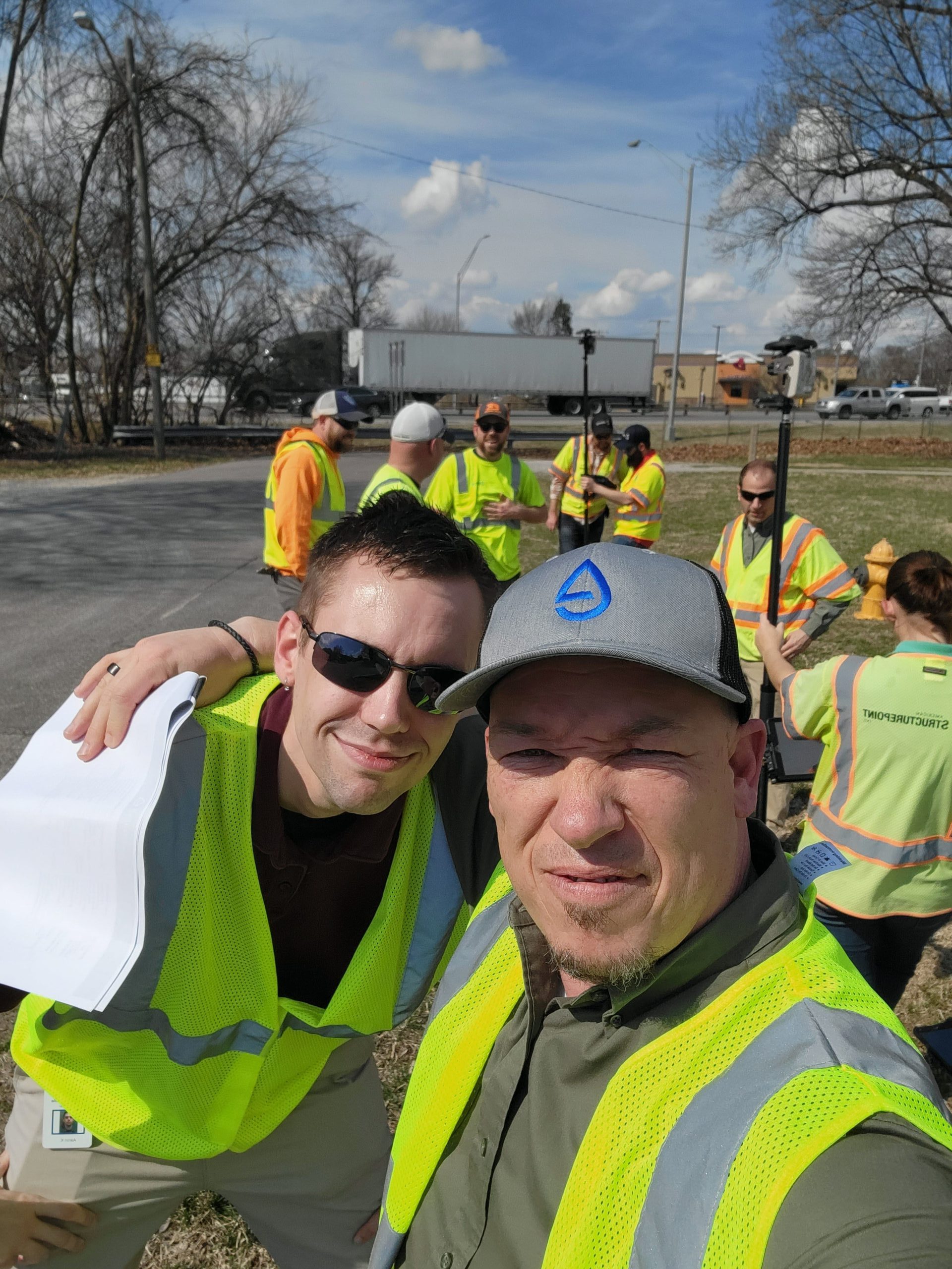
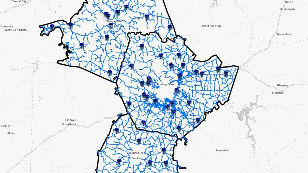
As the Geospatial Information System (GIS) Manager at Evansville Water and Sewer Utility (EWSU), Ryan Key ensures utility management not only runs smoothly, but also evolves continuously. Since joining EWSU in 2018, Ryan has helped lead the utility’s migration to the ArcGIS® Utility Network.
As EWSU transitioned their data from the Geometric Network to the Utility Network, it became evident that many locations required re-mapping. The existing data was often inaccurate, and clusters of assets (e.g. multiple water meters at a single location) made it difficult to locate individual assets during maintenance requests. Previously, updating these infrastructure locations could take up to a year as the process required time-consuming manual corrections, and the overall capital improvement project completion required the creation and submission of as-built drawings. To address these challenges, Ryan implemented an easy-to-use mobile data collection workflow using Eos global navigation satellite systems (GNSS) receivers. By pairing Arrow 100® and Arrow Gold® GNSS receivers with ArcGIS Field Maps, crews could update asset locations directly from the field during inspections.
This transformation has led to improved maintenance responses, faster turnaround times on annual inspections, and enhanced confidence in the utility’s data. Scroll to learn how Ryan’s forward-thinking strategies are revolutionizing EWSU’s utility management!
1. Why are you passionate about your job?
I come from a long line of public servants. I am truly passionate about utilizing technology to help bring clean, safe drinking water to the community we serve at EWSU.
2. How did you first find out about Eos Positioning Systems’ GNSS products?
I actually went out with our field crew and tested an Arrow receiver alongside some other receivers. We did side-by-side comparisons of the location data, and in the end, Arrow won. Our decision really came down to the accuracy of the Arrow receiver and its quick integration with ArcGIS Field Maps.
A fellow GIS colleague, Erin Mara from Country Mark, recommended the Arrow receivers. I’m a firm believer in “try before you buy.” This helps me avoid buying any equipment that ultimately ends up sitting on a shelf. And I can tell you, we definitely tried before we bought!
I actually went out with our field crew and tested an Arrow receiver alongside some other receivers. We did side-by-side comparisons of the location data, and in the end, Arrow won. Our decision really came down to the accuracy of the Arrow receiver and its quick integration with ArcGIS Field Maps. We’re an Esri shop, and it was important for us to be able to leverage service-based data collection.
3. What do you use Eos GNSS products for?
We use the Arrow receivers to rectify the locations of incorrectly mapped assets. Additionally, they help us add newly discovered assets during annual inspections and throughout capital infrastructure projects.
4. Do you have a favorite experience or memory from your projects with Eos hardware?
Seeing the transformation has been really rewarding. We have managed to streamline GIS edits by leaving behind a process that once took months (or even a year!) to now updating these assets in real time as they’re being inspected in the field, all while maintaining a high level of spatial precision and accuracy.

5. Do you have a favorite feature of Eos GNSS receivers?
The ease of use and reliability are essential features for us. I mean, it’s essentially plug and play. We just wrote up some basic documentation as a quick user guide. A lot of these guys had no GIS experience, and they transitioned to collecting data like ducks to water. They get it and they love it. They understand that what they’re doing will ultimately end up making their lives easier when they go out and do these inspections and that it will provide future EWSU staff with highly accurate data.
Plus, they can rely on the information and the accuracy of the maps. So, when they go out and do these inspections annually, they can rely on what they’re looking at in the map to be real and find these assets. And not only that, but it also translates over to our 811 locators that consume GIS data. Whenever there’s a new commercial development and someone has to call in locates for a project, our locators can now rely more confidently on the data we provide.
Is there anything we didn’t ask you that you’d like to share with us?
We love the technology! Just to see the field data collection program take off like it has in the last couple of years here has been very rewarding. I’m proud of our team.


