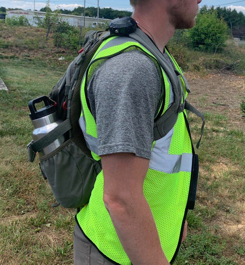
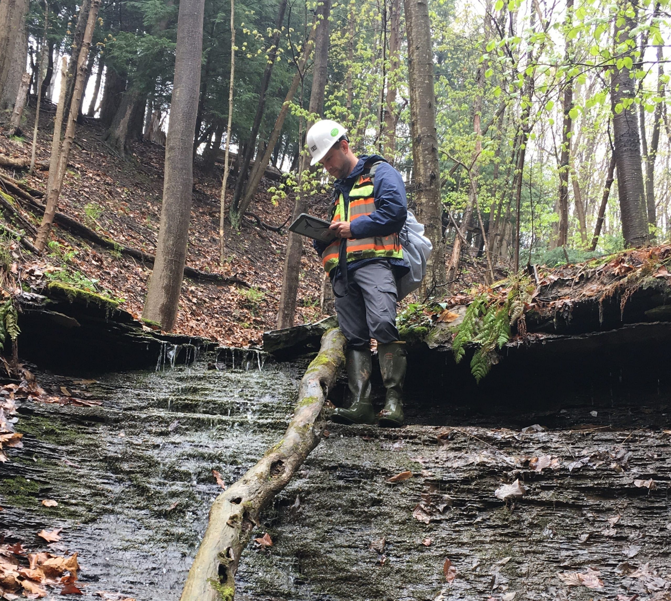
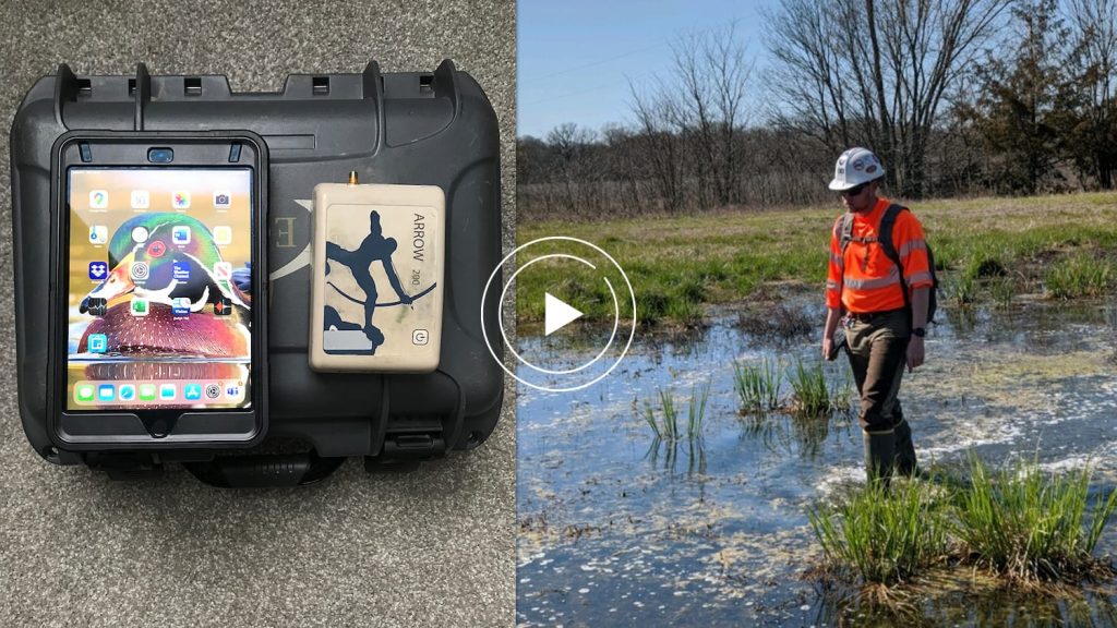
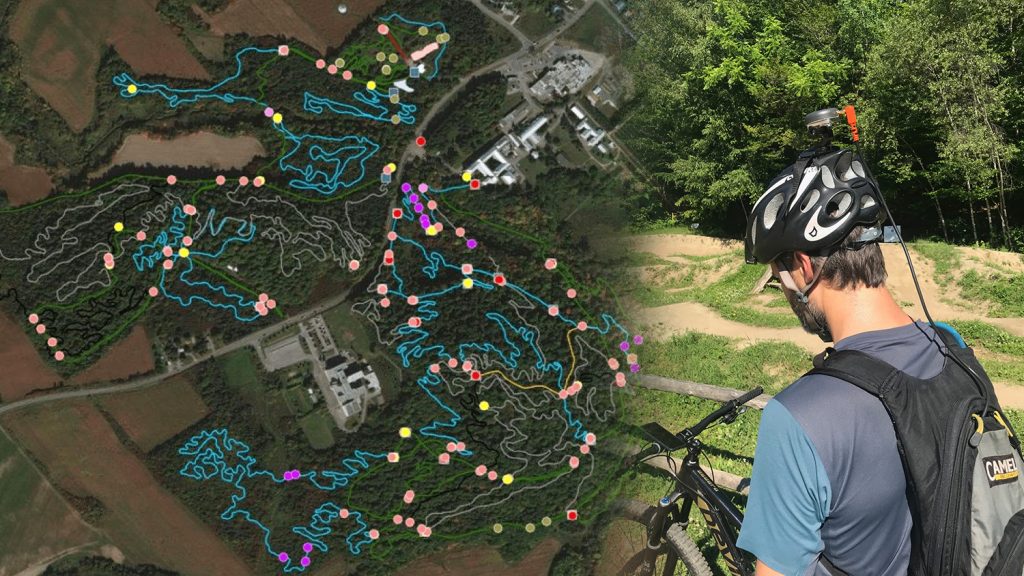
Challenging environments, offline areas, and extensive field work are all part of the job for Scott Denham. His passion for environmental consulting drives him to find the most efficient solution for his projects. As a Wetlands & Permitting Manager at Environmental Solutions and Innovations, Inc. (ESI), Scott knows that navigating remote areas requires staying mobile and keeping his hands free. To combat this challenge, Scott sought out a portable, easy-to-use GNSS solution. He even shared this setup in a webinar with Eos partner Ecobot. (Scroll below to view the video!)
With Scott’s new setup, ESI increased both speed and accuracy while maintaining high mobility. Keep reading to learn more about his everyday work and how Scott continually raises the bar for high-accuracy data collection!
1. Why are you passionate about your job?
I’m part of a great company whose goals and ideas are driven by passion and also align with my own. I got into wetland/environmental work because I am an avid outdoorsman who enjoys hunting and fishing, and because my father was in a similar industry. I have spent many years researching wetlands, and I find the nuances of wetlands fascinating. I enjoy working with my team doing wetland delineations, surveying threatened and endangered species (T&E), and performing wetland mitigation/restoration projects. Additionally, I like the nuances of the always changing Wetlands of the United States (WOTUS) and 404/401 CWA regulations.
2. How did you first find out about Eos Positioning Systems’ GNSS products?
I found out about Eos from an old coworker of mine. I had used a variety of different GPS products in the past, and I wanted something I could pair with a tablet to decrease the amount of hard-copy maps I carry with me in the field. Additionally, I wanted a system I could use while working in the most difficult of areas, which also wasn’t too bulky and allowed my hands to be free. Many times, I need to crawl, slide and climb to get through tough areas when working.
3. What do you use Arrow Series® GNSS receivers for?
As an environmental consultant, I have a wide variety of clients with many different types of projects. Most of my work revolves around aquatic resource delineations and permitting, but it can also include habitat surveys, botany surveys, and T&E surveys. I use the Arrow Gold® and the Arrow 200® units to map streams, wetlands, invasive plant species, potential bat-roost trees and more.
4. Do you have a favorite experience or memory from your projects with Eos Arrow?
On one project, we were in charge of taking detailed stream-crossing data for a client. The client had to provide accurate stream measurements to their reviewing agency. We used numerous Arrow Gold® units to connect to a local, real-time kinematic (RTK) network for real-time corrections, so we could provide them with the highest level of accuracy possible. To collect the data, we set up an ArcGIS Collector web map. The stream measurements we captured were then used by our engineering department for restoration design plans. The reviewing agency was very impressed with our accuracy (8cm!), and this allowed our restoration plans to be highly detailed.
5. Do you have a favorite feature of Arrow GNSS receivers?
I really like the Eos Tools Pro companion app. It allows you to see very easily your estimated accuracy and the quality of satellites you’re connected to in a certain position.
6. Is there anything we didn’t ask you that you’d like to share with us?
My GIS department and myself have had numerous meetings with the Eos staff. They have taken the time to help us set up our accuracy and maximize our equipment’s potential. They have been very helpful, and this has been a key to our company’s success.

