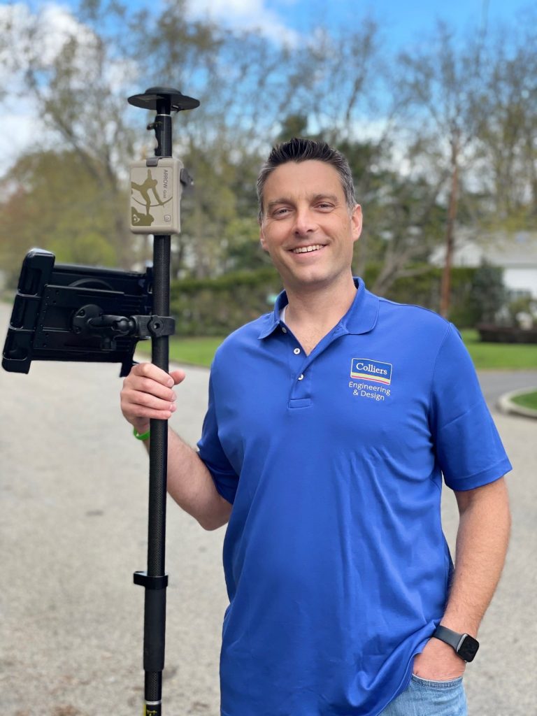
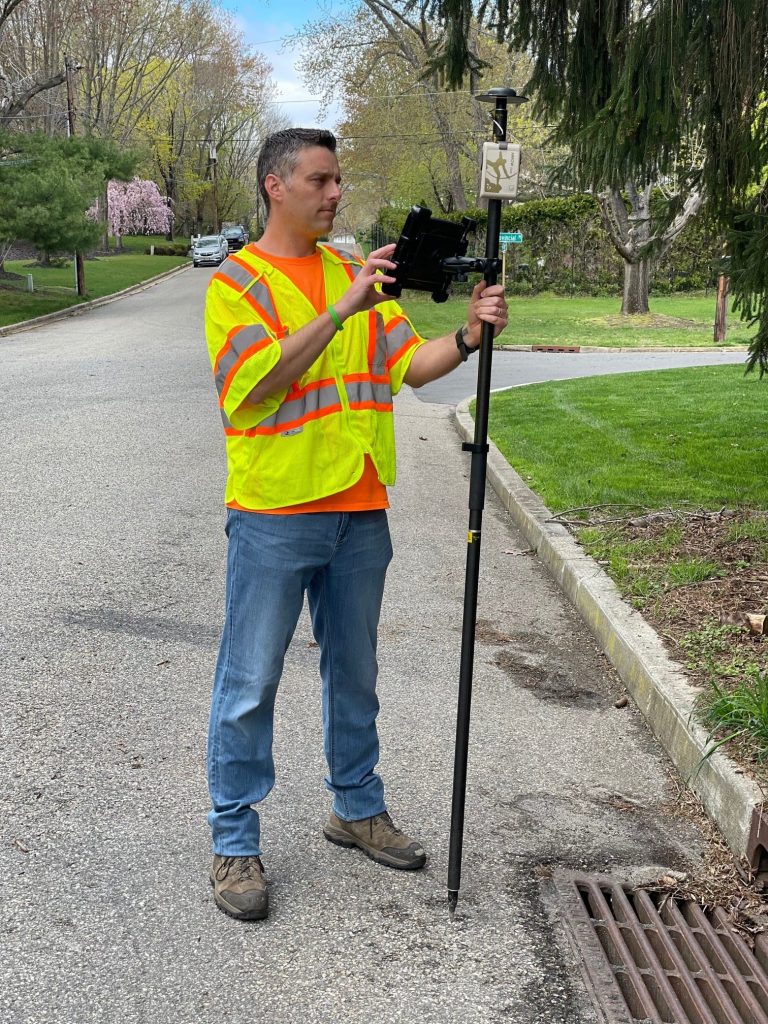
Michael Kolody is no stranger to maps. Enthralled by cartography as a child, he has turned his passion for people and places into a full-time career at Colliers Engineering & Design (formerly Maser Consulting), where he serves as the Geographic Discipline Leader for New Jersey and New York and as a Sr. Project Manager. Lately, Mike has been helping his clients — including utilities, municipalities, and even railroads — modernize their mobile mapping technology, so that they can get the most out of their time in the field. More importantly, he makes sure they can get the most out of their maps.
1. Why are you passionate about your job?
People and maps! I have been interested in maps since I was a child. I enjoy the cartographic aspects of mapping and GIS, as this is what transforms data and information into a “story” about the location and focus of the map.
While maps may have brought me to my job, it is the people who make every day rewarding. I am lucky to work at a great company as part of an amazing team. My manager is a great sponsor and mentor whom I continue to learn from every day. Our team is comprised of fellow professionals who are also passionate about GIS and always eager to learn. Working with my colleagues is rewarding, but helping our clients leverage GIS to solve their challenges and streamline operations is the ultimate reward.
2. How did you first find out about Eos Positioning Systems’ GNSS products?
I was performing a GIS needs assessment for a client back in 2016. One of their pain points was that their GPS equipment was only submeter, and post-processing was required to import the data into their GIS. Collecting data in the field with that equipment was easy enough, but getting it off the GPS hardware and into the GIS wasn’t. The data was regularly being left on the GPS unit weeks after it was collected. We had just started using ArcGIS Collector internally at our company, so I began researching GNSS receivers that connected to Collector. As I gathered more of the client’s requirements, it became evident that they needed centimeter-grade GPS accuracy, software with data collection and navigational capabilities, and a real-time connection from the field to their office GIS. As I searched for equipment that fulfilled these requirements, my research revealed Eos Positioning Systems’ GNSS products.
3. What do you use Arrow Series® GNSS receivers for?
As a GIS consultant to private and public clients, we use the Arrow Gold® GNSS receivers to map all different types of assets. A lot of our work is mapping utilities, including water distribution, stormwater conveyance, and sanitary sewer systems. We also map different types of assets for our local government clients such as traffic signals and signs, trees, playground equipment, recreational trails, and more. In addition, we have a handful of railroad clients and utilize our Arrow Gold® receivers to map their rail assets.
4. Do you have a favorite experience or memory from your projects with Eos Arrow?
The first client that I implemented an Eos Arrow Gold® for was a municipal utility authority that managed a water distribution system. We connected their Arrow Gold® to a local, real-time kinematic (RTK) network for real-time corrections, set up an ArcGIS Collector web map for GNSS data collection, and provided them with initial training in the field. Within a few minutes of that training session, we watched the estimated horizontal accuracy drop to 0.7 centimeters.
When I was showing a water department supervisor how to map the location of a hydrant, he asked me, “Where should I place the antenna?” I joked that with such high accuracy, we should collect the hydrant as a polygon! We had a good laugh. But ultimately, we decided that the best practice was to collect the center of the hydrant, above where the water line entered it.
5. Do you have a favorite feature of Arrow GNSS receivers?
My favorite feature that Eos provides is actually from the company itself — the online Eos Learning Center. The videos and tutorials that Eos provide are a great resource for getting started with the equipment. Additionally, there are alarms and warnings we can configure within Eos Tools Pro to let our end-user know if there are potential issues with the satellite coverage or RTK connection, and those are great.
6. Is there anything we didn’t ask you that you’d like to share with us?
The partnership between Esri and Eos is strong, and it’s a great benefit to users who are working with the Eos hardware and Esri software.
Watch Mike present about one of his recent projects!
In addition to helping his individual clients, Michael also shared his expertise with hundreds of attendees in a recent Eos virtual workshop on ArcGIS Field Maps. By presenting his work, Michael is helping pave the way for utilities to embark on their own GIS upgrades.


