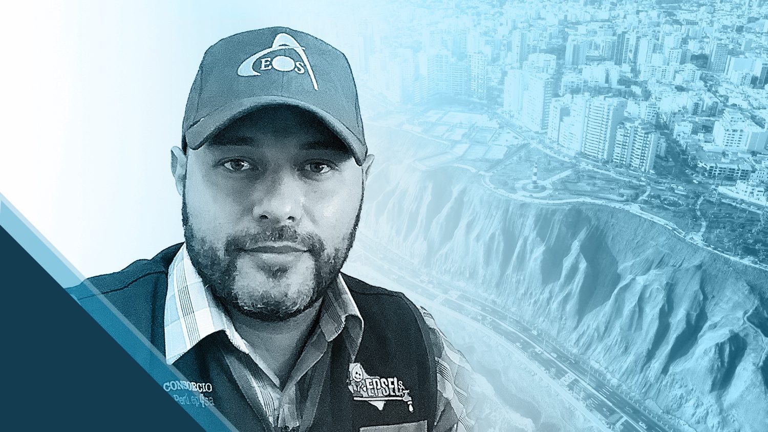
GIS is more than just a job to Ronald Stith López — it’s also an essential part of bettering the lives of citizens who live in the communities he serves. As a Technical Cadastral Coordinator at the Colombia-based water-utility services provider ConHydra, Ronald helps his clients across both Colombia and Peru to upgrade their water systems, improve sanitary conditions, and foster the overall success of local water companies.
Read on to learn how Ronald serves his clients through the use of high-accuracy mobile mapping technology.
1. Why are you passionate about your job?
I am passionate about my job because, for me, I genuinely do not feel that I am working. I view my work as an opportunity to better the quality of life for those who live where our projects take place.
It fills me with great joy when, after we carry out our work, a population begins to see improvement in their sanitary conditions and other benefits. In fact, because these improvements are tied to resource optimization, we can improve quality across a number of services our clients’ companies perform.
In each country and community I serve, I’m able to suggest new ways of doing things, promote new technologies, and standardize their production processes. To me, this is a way of approaching daily life, rather than work.
2. How did you first find out about Eos Positioning Systems’ GNSS products?
In 2019, we were carrying out a project for both a technical cadastre (of aqueduct networks) and a commercial-users cadastre for the Peruvian districts of Chimbote and Nuevo Chimbote. At that time, we were looking for a much faster method for gathering location information in the field. Coincidentally, we were invited to the 2019 Esri Peru annual users conference in Lima (hosted by Esri distributor TELEMATICA), where we learned about Eos Positioning Systems and the field solutions they could offer us.
From the moment we first spoke with the Canadian staff from Eos, we received a personalized relationship. We understood from then on, that Eos would be our partner in terms of satellite positioning systems. Their Arrow GNSS solutions fully covered the needs we had, and they met our expectations.
3. What do you use Arrow Series® GNSS receivers for?
Initially, we used the receivers for the orthorectification of satellite images. Currently, we use the Arrow Gold® GNSS receivers for the fast and precise location of all hydraulic and non-hydraulic elements of the aqueduct networks in cities where we have projects. We have also used the submeter Arrow 100® GNSS receiver to locate and georeference home drinking-water meters.
4. Do you have a favorite experience or memory from your projects with Eos Arrow?

The most gratifying experience I have had with the Arrow Series® receivers is their speed in the collection of information and also that, if our RTK connection is lost, the Arrow Gold® maintains our RTK corrections thanks to the SafeRTK® feature. In addition to this, we appreciate the Arrow’s integration with Esri ArcGIS apps (especially ArcGIS Collector and ArcGIS Survey123). These two parameters allowed us to reduce labor hours by 50% just in terms of time reduced while obtaining positioning information.
5. Do you have a favorite feature of Arrow GNSS receivers?
Undoubtedly, my favorite feature is the Arrow’s speed in obtaining locations in the field, using RTK corrections and the Atlas® subscription. These characteristics, in addition to the Arrow receivers’ versatile work capacity, create an ideal system for the activities that I carry out.
6. Is there anything we didn’t ask you that you’d like to share with us?

Yes, I want to attest to all the technical support received by Eos Positioning Systems, especially their representative in Peru. I have rarely felt that a company takes it upon itself to guarantee the accordance of its clients with such personalization.
Descarga este artículo en Español.
