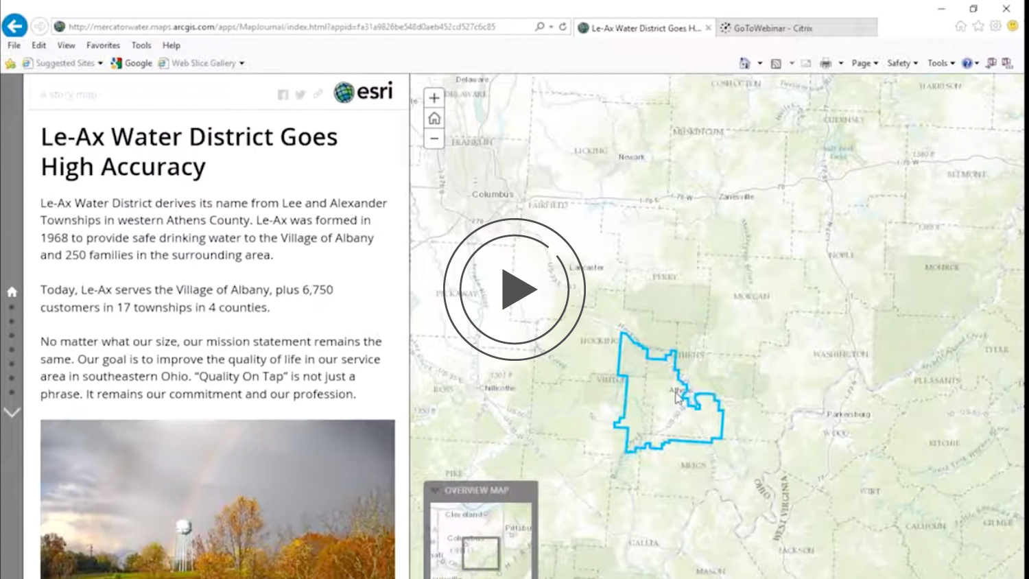
Watch how a small utility, Le-Ax Water District implements Esri’s ArcGIS Collector and the Eos Arrow GNSS receiver for a high-accuracy low-cost water data solution. By pairing these two tools with their own mobile devices, Le-Ax Water GIS staff were able to quickly collect high accuracy field data.
See How the High Accuracy Low Cost Water Data Solution Works:
The two main challenges the utility faced were, first, a limitation on existing staff knowledge and also training time they had. This made it critical for the utility to develop a way to quickly train staff on any solution they selected, as well as selecting a solution that could be easily implemented and deployed into the field.
The second challenge was the degree of accuracy the utility needed to collect, and the speed at which their legacy handheld devices did so. With wait times of up to several minutes per point, the staff quickly became frustrated with their legacy handheld devices, and they knew they needed a better solution.
This prompted the staff at Le-Ax to look into a solution that lay in the up-and-coming BYOD (bring your own device) market. They explored a new release of ArcGIS Collector, as it may allow the team to use much more user-friendly iPad®s in the field. After setting up ArcGIS Online and Collector, the staff was convinced they were on the path to finding their smartest solution. All that was left was determining if a Collector and iPad field toolkit would be accurate enough and easy enough to use for the Le-Ax field staff.
The final key lay in identifying the correct GPS / GNSS receiver for the job. That’s what led Le-Ax to the Eos Arrow receiver selection. With the entire high-accuracy toolkit collected, the Le-Ax staff took the technology into the field to test it. Here’s what happens next — and here’s what they thought of the ease of use for their staff.
Interested in learning more? Read the full success story here on the ArcGIS Blog.
You May Also Like One of These Success Stories

ArcGIS Collector Webinar: Getting Started with High-Accuracy Data Collection
Learn how to create your ArcGIS organizational account, build & share web maps, collect & edit features and attributes in Collector, and use your Arrow GPS.

Le-Ax Water District Gains High Accuracy Data on a Budget
Le-Ax Water District needed to GPS above-ground assets with a low budget. They used Arrow 100 for rural water data collection with Esri Collector.
