


Visit Eos Positioning Systems® (Eos) — a 2019 Esri® Award-Winning Silver Partner and ArcGIS Online Specialty Partner — at the 2019 NCAUG Annual Meeting. This year’s event will be held at the Hotel Ballast in Wilmington, NC. Eos will be exhibiting as a Platinum Sponsor from September 18-19.
Eos is a Canadian company and Esri Silver Business Partner that specializes in simple, affordable, high-accuracy field solutions (GPS / GNSS) for the GIS and mapping community. Eos Arrow Series Bluetooth® GPS (GNSS) receivers fit directly into existing mobile GIS workflows on the Esri ArcGIS Platform via ArcGIS and other data-collection apps (e.g., Collector, Survey123). Our solutions simply replace lower accuracy native device locations with higher-accuracy (submeter/cm) GNSS locations and metadata. The Arrow Series® GNSS (external Bluetooth® GPS) receivers work with any mobile device and field data-collection app.
Scroll down to learn how to get your hands on an Arrow GNSS receiver at the event.
How to find Eos at the 2019 NCAUG Annual Meeting in Wilmington, NC
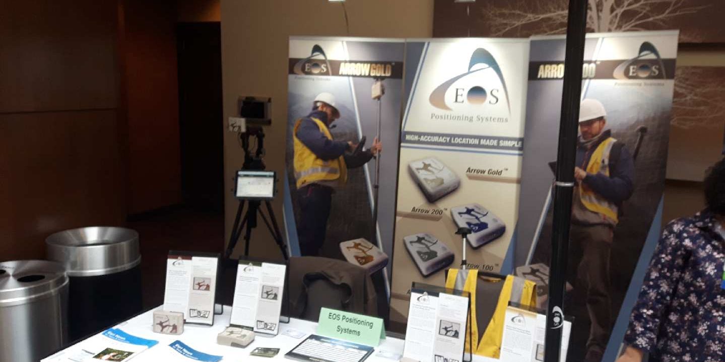
Eos is proud to be exhibiting as a Platinum Sponsor. To find our booth, look for our familiar setup toward the center of the expo hall:

Location
Hotel Ballast
301 N Water St
Wilmington, NC 28401
Expo Dates and Times
Sept. 18 from 1pm-5pm
Sept. 19 from 8am-5pm
Sessions we recommend:
“City of Gastonia Looks to the Future of GIS with Valve Exercising Program”
Presenter: Brian Hart, City of Gastonia
Sept. 19, 3:30pm
Grand Ballroom: Harnett
“High Accuracy Workflow for GIS Data Collection”
Presenter: Davis Wildman
Sept. 19, 4:30pm
Grand Ballroom: Harnett
Social Media
Website
Featured case study: City of Gastonia, NC

Two Rivers Utilities added hundreds of valves to its GIS as part of a new valve-exercising program, intended to reduce service interruptions and modernize valve-tracing on the Esri ArcGIS platform.
Brian Hart will also present their story at the 2019 NCAUG annual meeting.