Feature Story
Small City, Big Initiatives: City of Seguin Improves Water and Electric Asset Management with GPS and GIS
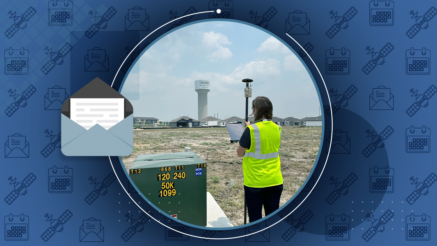
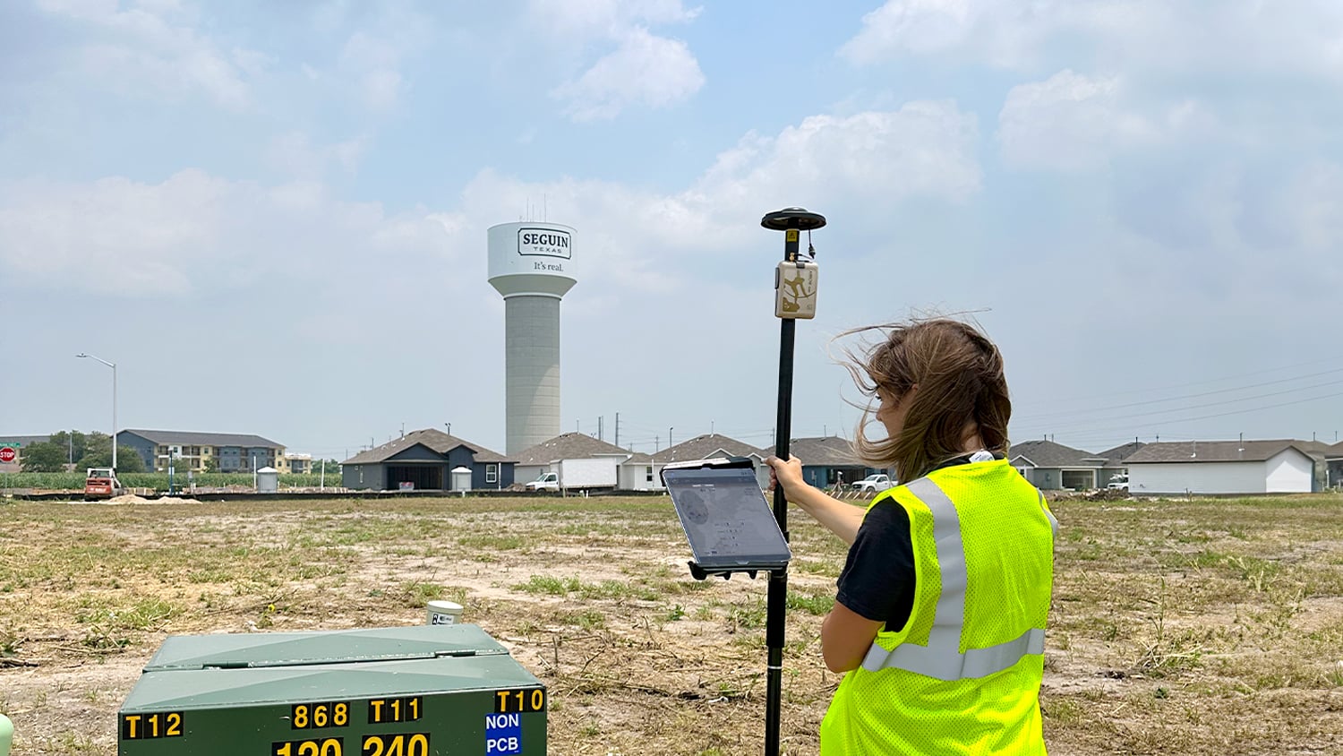
The City of Seguin, Texas, is taking big steps to modernize their utility management. While in the throws of busting regional development and increasing service requests, they’re mapping water, sewer, and electric assets with Eos GNSS and ArcGIS technologies. Their highly accurate digital maps help third parties avoid construction mishaps during development and also sets the stage for more informed maintenance down the road. They are also laying the foundation to explore the use of AI to identify lead service lines and to deploy the ArcGIS Utility Network for water and electric. All of this ensures smoother operations and smarter planning as the city serves its growing community!
Industry News
This video takes a closer look at Galileo HAS, a free GNSS correction service launched in 2023 as part of the EU’s Galileo program. Using the Arrow Gold+™ receiver, our team tested how well Galileo HAS performs in Quebec, Canada. Unlike RTK, which uses local base stations for quick corrections, Galileo HAS relies on satellite-based corrections (PPP), making Galileo HAS great in areas without RTK or SBAS, but requiring a longer convergence time of 5–30 minutes (depending where you are in the world). After 30 minutes, our receiver locked into an impressive accuracy of 15.1 cm! These results show the potential of Galileo HAS, especially as it gears up for its next phase expected in 2025, when convergence times will drop dramatically. Watch the fun timelapse video to see our convergence test run!
Watch the video with transcript here.
GIS Café Interviews Eos Positioning Systems Global Sales Director Steve Lawrence about New Skadi Series™ GNSS Receivers
By Sanjay Gangal, GIS Café
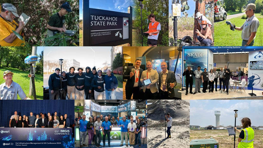
What makes the Skadi Series™ so unique among GNSS solutions designed for GIS professionals? In this exclusive interview, GIS Café’s Sanjay Gangal interviews Steve Lawrence about the cutting-edge innovations brought to market by the Skadi Series. Learn how Skadi Tilt Compensation™ democratizes tilt compensation beyond the surveying market, and discover the amazing benefits of RTK In Your Hand™ with the Skadi Smart Handle™. Steve describes how the Skadi Smart Handle can eliminate the need for your traditional range pole, help you map assets in trenches without having to physically climb down into them, and more!
Al’s Corner: Technical Tips
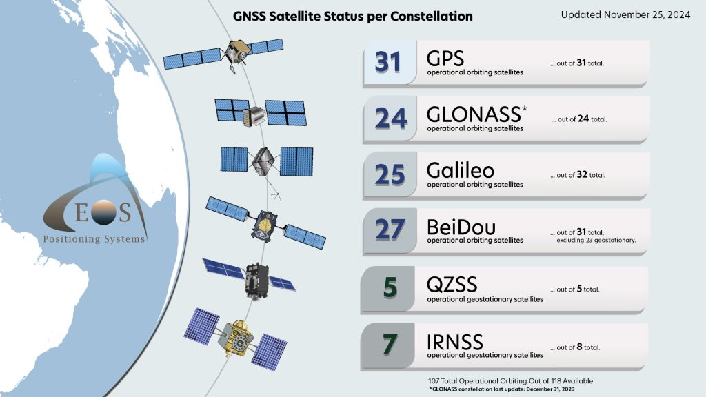
Current GNSS Satellite Status for November 25, 2024:
Customer Spotlight
Vanessa Pocock Keeps Whistler’s Maps on the Slopes of Innovation
Vanessa Pocock is transforming how the Resort Municipality of Whistler handles its infrastructure — especially given they welcome over two million resort visitors a year. As the Canadian city’s GIS Supervisor, Vanessa has expanded access to geospatial tools, such as Arrow Gold GNSS receivers and ArcGIS Field Maps, to everyone — even those with no GIS background. By creating simple, grab-and-go bundles with tablets and software, staff can quickly map everything from flood zones to wildfire prevention areas. Vanessa’s focus on accessibility and precision means Whistler’s teams can work smarter, not harder, to keep everything running smoothly, no matter the season.
Upcoming Events
Eos Positioning Systems would like to wish a warm, happy, and healthy Thanksgiving to all of our customers, partners, and associates celebrating Thanksgiving in the United States this week. And to everyone, may the colder season begin for you with joy and wellbeing. Our entire team at Eos is grateful, most of all, for the community of which we are a part.
Sincerely,
Eos Positioning Systems

