As the Geospatial Information System (GIS) Supervisor for the Resort Municipality of Whistler (RMOW) in British Columbia, Canada, Vanessa Pocock helps ensure the city’s municipal services glide smoothly, despite heavy traffic on its slopes. Though Whistler is home to just about 14,000 residents, the city experiences a dramatic influx of over two million visitors each year to visit its renowned ski resort, Whistler Blackcomb. This high volume of tourists places significant demands on the town’s infrastructure and services. With a small team and limited resources, Vanessa’s goal is to make geospatial technology accessible to all her coworkers, thereby streamlining workflows and improving their ability to deliver services to residents and visitors.
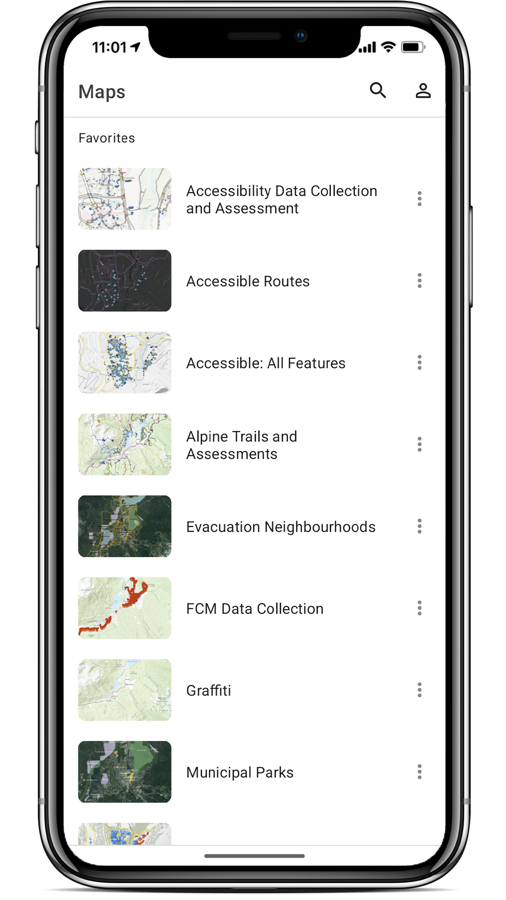
To achieve this, Vanessa developed data collection bundles that include an Arrow Gold® global navigation satellite systems (GNSS) receiver, an Android™ tablet, and ArcGIS® Field Maps. These bundles enable high-accuracy data collection for all departments, even for employees without GIS experience. Vanessa’s approach not only enhances the municipality’s data collection capabilities but also supports its broader goals by providing accurate, actionable data.
Read on to hear from Vanessa in her own words about how mobile mapping supports RMOW’s goals!
1. Why are you passionate about your job?
I’m passionate about my job because I want to help people who don’t understand the power of GIS see what it can do for them. And maybe that sounds a bit cheesy, but I really just want to help people — my coworkers, my colleagues, the people who live here, the people who visit us — have better experiences by using GIS to enhance those experiences. For example, if I can help a colleague understand how GIS can simplify something to the click of a button instead of having to do 10 steps, I want to do that.
Spatial applications and spatial data are something we work with all the time. We just don’t realize it. I want people to see how much GIS is involved behind-the-scenes, and that it’s something that they’re already interacting with daily. And I want to enhance what they’re doing with tools that work with GIS.
2. How did you first find out about Eos Positioning Systems’ GNSS products?
That’s a great question — it was so long ago, I can’t actually remember the first interaction, but I believe it was almost a decade ago. For Whistler, my conversation with the Eos team has always focused on answering two questions: “What does Whistler need?” and “What are we looking to achieve?”
3. What do you use Eos GNSS products for?
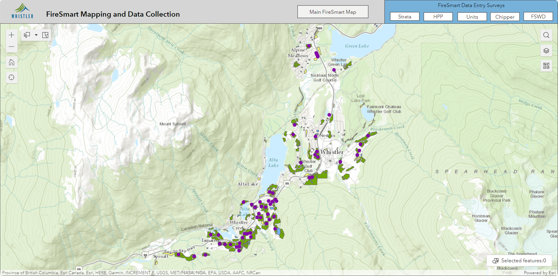
We use our Arrows for all different types of data collection. We have three bundles set up, consisting of Arrow Gold GNSS receivers and Android tablets equipped with ArcGIS Field Maps and ArcGIS Survey123. Our staff can come in and basically rent out the kits, and then they use them to collect data as needed. They can use them for any purpose, whether it’s building up an inventory or for a specific project, like wanting to map egress and ingress points for floodplain mapping.
Because of the bundles’ ease of use, we have the ability to train non-GIS employees on how to use the tools. It’s very easy. Typically, after an introductory session, most people are good to go unless something really odd comes up. It’s incredible. They don’t really contact us for the rest of the time that they’re doing their collection.

4. Do you have a favorite experience or memory from your projects with Eos hardware?
The Arrow receivers are something that everyone can pick up and take care of themselves — their work just gets done.
I think my favorite experience or memory with working with Eos is just that the technology is easy. We’re resource light, so I need something that’s going to work effectively. The Eos receivers are something I can train other users to work with, and this doesn’t necessarily require a lot of my time and attention. So really, my favorite memory about is just simply that I can train anyone to use these devices. The Arrow receivers are something that everyone can pick up and take care of themselves — their work just gets done.

5. Do you have a favorite feature of Eos GNSS receivers?
The interface is really easy to understand and to work with. So, setting everything up is straightforward. Our Eos representative has helped us a few times when we’ve had problems; say, with our real-time kinematic positioning (RTK) corrections or connecting to our base station. But beyond that, it has been very intuitive. Once it’s set up, it’s done. You don’t have to revisit it. Our bundles are ready to go.
6. Is there anything we didn’t ask you that you’d like to share with us?
I’m not trying to do a marketing pitch for anyone that’s reading this. And if this gets cut, then it gets cut. I’m just being honest — I needed something that was easy. I’m not someone that’s a GPS expert myself. I needed to learn how to use the tools so that I could teach other people how to use the tools. And I don’t necessarily use it every day, which means it needed to be something that’s easy enough for me to remember every few months, or once a year when I need to teach someone else how to use it.
For what we’re doing, this technology is great for day-to-day collection of above-ground and even some below-ground assets. And that’s why I’m happy with the product — because it simply works for what we are trying to do.


